Río Conlara
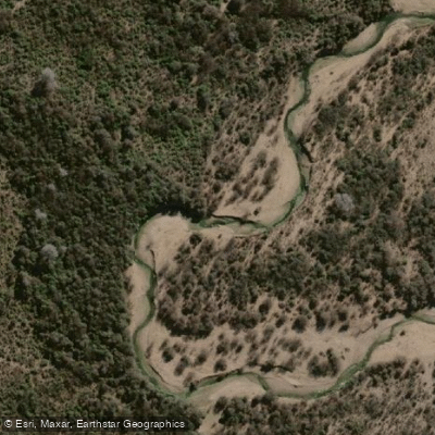
Río Conlara
- Boat Ramps
- 0
- Access Points
- 0
- Campsites
- 2
The Río Conlara is the principal river of the Valle de Conlara in the northeastern part of San Luis province, Argentina. It originates in the Sierras de San Luis and flows roughly 180 kilometers in a south-to-north direction — an orientation notable in the Southern Hemisphere — before terminating in the Bañados de Las Cañadas, an endorheic wetland system where the water becomes subsurface. The river runs through the valley between the Sierra de Comechingones to the east and the Sierras de San Luis to the west, passing through the towns of Renca, Tilisarao, San Pablo, Concarán, and Santa Rosa del Conlara along its course.
The river's flow is seasonal, with water levels varying considerably depending on rainfall. During drier periods, flow can be reduced significantly, which is a practical consideration for anyone planning a paddling trip. The river can be visited year-round, though conditions differ substantially between seasons.
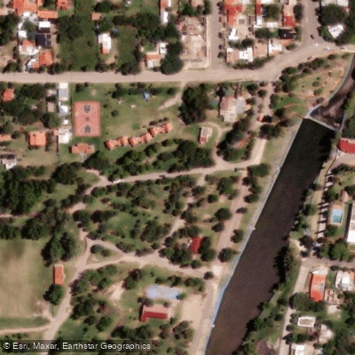
The town of Santa Rosa del Conlara hosts the Complejo Municipal Río Conlara, the largest balneario in the province, with beach areas, picnic zones, and camping facilities. This area is accessible from Merlo and is situated near the Route 2 bridge. Access to natural river areas is generally free, though specific balneario complexes may charge an entrance fee. Parking at popular spots can be limited during peak summer periods.
The overall character of the river in its accessible stretches is calm and family-oriented, with the balneario areas featuring designated swimming pools suitable for different age groups. Whitewater sections, paddling-specific hazards, and formal put-in and take-out points for canoes or kayaks have not been documented.
Water access, boat ramps & amenities
Learn how to get on Río Conlara. Uncover great paddling access points, boat ramps, and all the facilities you need for an unforgettable day on the water. Some locations shown may border or include private property. Always check property boundaries and applicable regulations before visiting. PaddleWays's Public & Private Land layer can help you plan your access with confidence.
Paddle smarter with real-time insights
Whether you're en route and conditions shift or you're looking for the best spot based on current flows, we enable you to make informed decisions on the fly.







Córdoba licenses and regulations

Find Places to Paddle

Over 400,000 Places to Paddle
Every user gets free access to launch points, boat ramps, and public property parcels.


Water and weather conditions (10 day forecast)
See the best times to paddle Río Conlara and check the forecast before you go.
No forecast data available.
Paddling near Río Conlara
Río de los Reartes
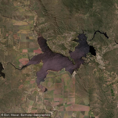
Embalse Ministro Juan Pistarini
Río Tabaquillo
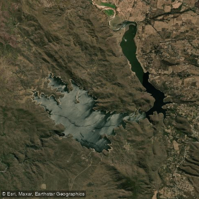
Embalse Ingeniero Antonio Medina Allende
Río El Durazno
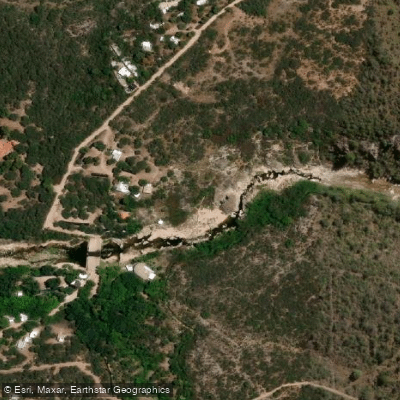
Río Chico de Nono
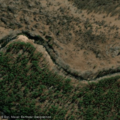
Río de los Sauces
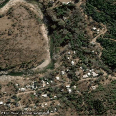
Río Quillinzo
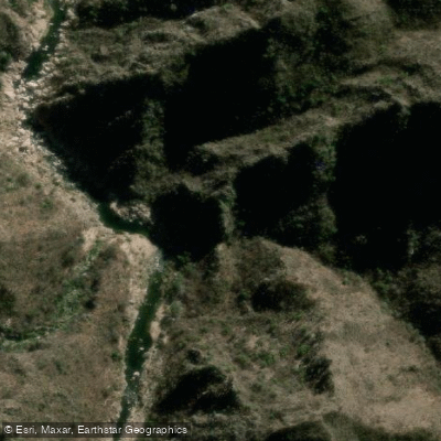
Río Quines
Explore Córdoba waters
Top paddling waters
No waters available right now.
Popular Cities
Loading popular cities...
Explore near Río Conlara

Smarter Paddling Starts in the App.
Paddleways gives you everything you need to plan smarter, paddle better, and own every trip from first launch to takeout.