Río Atuel
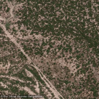
Río Atuel
- Boat Ramps
- 0
- Access Points
- 0
- Campsites
- 14
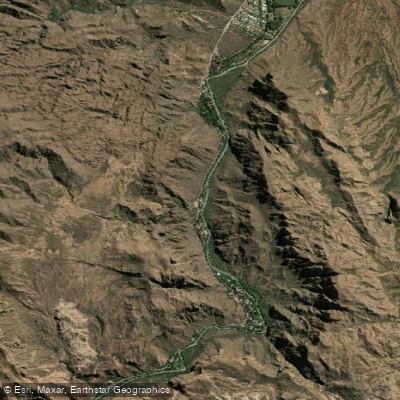
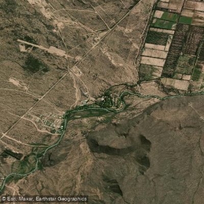
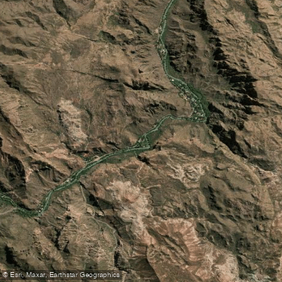
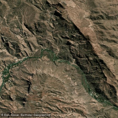
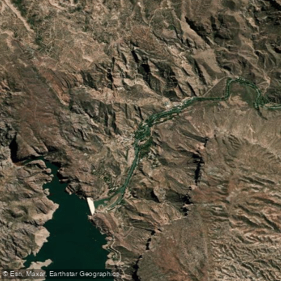
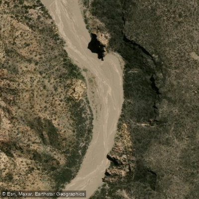
The Río Atuel is a tributary of the Desaguadero River flowing through the south of Mendoza province, Argentina, with a total length of approximately 790 kilometers. The name "Atuel" derives from the Puelche word "Latuel," meaning "Soul of the Earth." For paddlers, the most relevant section runs through the dramatic Cañón del Atuel near Valle Grande, located roughly 30 to 34 kilometers from the city of San Rafael. Provincial Route 173 connects San Rafael to the rapids zone and the Valle Grande and El Nihuil reservoirs over a total distance of 85 kilometers.
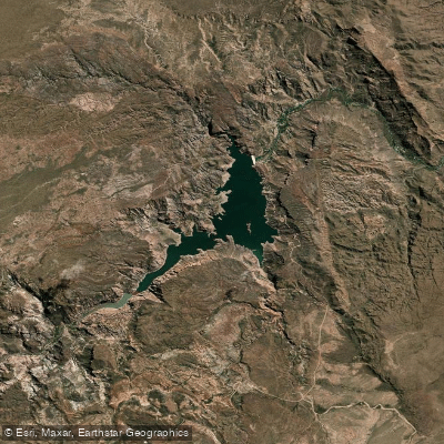
The paddling character of the Atuel is generally rated Class II to III, making it accessible to a broad range of paddlers including beginners. Sections can reach Class IV depending on conditions and the specific stretch chosen. The canyon walls along this section can reach up to 260 meters in height, with colorful rock formations shaped by wind and water erosion. The Valle Grande reservoir sits within this canyon setting and is used for catamaran and kayak activities in addition to rafting.
Flow patterns follow a clear seasonal cycle. From November through March, the river runs at its highest volume, producing more intense rapids. From April through September, flow decreases, resulting in calmer water that is better suited to kayaking and scenic paddling. The recommended paddling season overall runs from July through April. Summer flows produce the most dynamic whitewater, while winter offers lower, slower water with more emphasis on the canyon scenery.
The primary hub for river access is Valle Grande, where multiple licensed outfitters operate rafting and kayak trips. Safety briefings, life jackets, and helmets are standard equipment provided by commercial operators. Rafting trips vary in length and duration, and at least one operator offers inflatable two- and three-person craft (Doky and Triky) for guided descents through the more challenging canyon sections.
San Rafael provides the main base for accommodation, with hotels of various categories available in the city. The Valle Grande and Villa El Nihuil areas offer campgrounds, cabins, hotels, restaurants, and supply stores. The river has also been used for play-boating by visiting kayakers, and the broader San Rafael area is recognized as a center for whitewater paddling alongside other regional rivers including the Río Diamante and Río Mendoza.
Water access, boat ramps & amenities
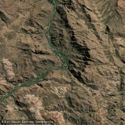
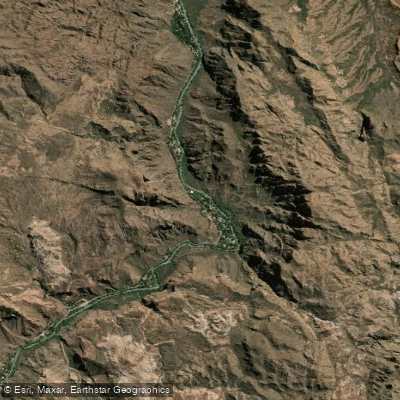
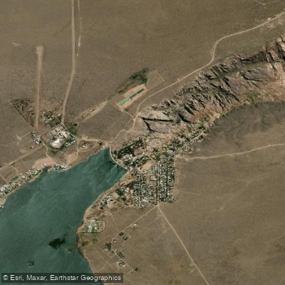
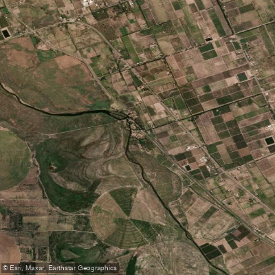
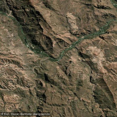
Learn how to get on Río Atuel. Uncover great paddling access points, boat ramps, and all the facilities you need for an unforgettable day on the water. Some locations shown may border or include private property. Always check property boundaries and applicable regulations before visiting. PaddleWays's Public & Private Land layer can help you plan your access with confidence.
Paddle smarter with real-time insights
Whether you're en route and conditions shift or you're looking for the best spot based on current flows, we enable you to make informed decisions on the fly.







La Pampa licenses and regulations

Find Places to Paddle

Over 400,000 Places to Paddle
Every user gets free access to launch points, boat ramps, and public property parcels.


Water and weather conditions (10 day forecast)
See the best times to paddle Río Atuel and check the forecast before you go.
Atuel - El Sosneado
All Flow Stations
Explore La Pampa waters
Top paddling waters
No waters available right now.
Popular Cities
Loading popular cities...
Explore near Río Atuel
Access points
Nearby waters
More in La Pampa

Smarter Paddling Starts in the App.
Paddleways gives you everything you need to plan smarter, paddle better, and own every trip from first launch to takeout.