Río Diamante
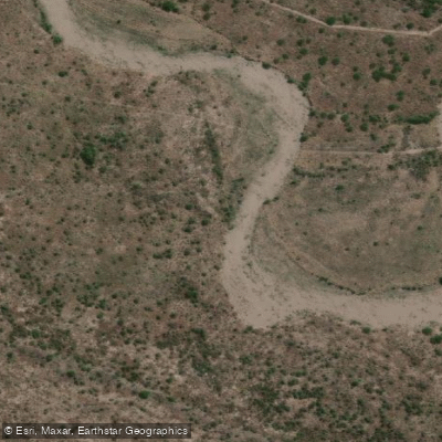
Río Diamante
- Boat Ramps
- 0
- Access Points
- 0
- Campsites
- 4
The Río Diamante originates from glaciers on the Maipo volcano, a peak on the Argentine-Chilean border in the Andes, and flows eastward through the province of Mendoza until it empties into the Desaguadero River. Its drainage basin covers approximately 2,750 square kilometers in central Mendoza. The river has a historical average flow of around 33–36 cubic meters per second, with peak flows occurring during spring and summer snowmelt; the October through March period accounts for roughly 70 percent of the annual water volume.
The whitewater section near San Rafael is rated class IV-V and is considered expert-level paddling. San Rafael, a city of roughly 200,000 people located about three hours south of the city of Mendoza, serves as the primary base for paddlers. The river cuts through striking red stone gorges, offering dramatic scenery characteristic of the high-desert Andean foothills.
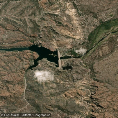
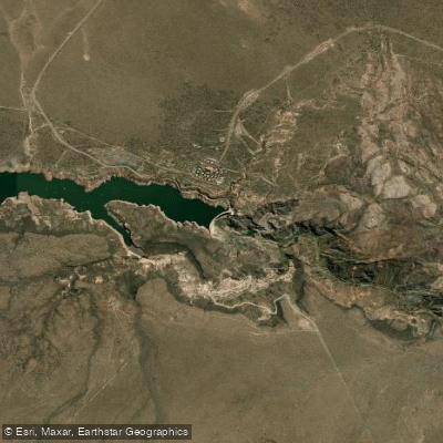
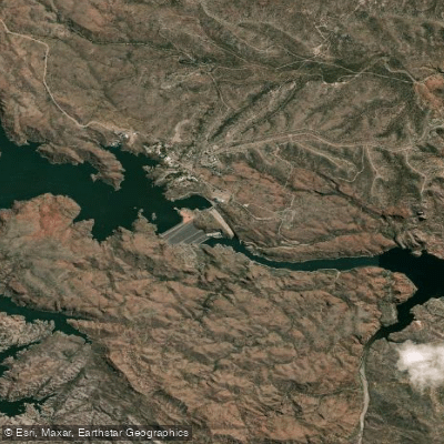
Flow on the river is heavily regulated by a dam and powerhouse upstream. Releases are made at either 65 or 130 cubic meters per second — referred to locally as "una máquina" or "dos maquinas" — typically for a few hours on weekday mornings when electricity demand is highest. Outside of these scheduled releases, the river may carry little to no water. Over the past two decades, the natural average flow has declined significantly, and the natural flow has not exceeded 100 cubic meters per second in roughly 17 years. Paddlers should be aware that dam releases can cause sudden and dramatic surges in water level, a hazard that has resulted in fatalities. A 30-kilometer canyon section is private property, with access restricted to company personnel; kayaking is explicitly prohibited in this stretch.
The relationship between the dam operator and the paddling community has become strained in recent years, and access arrangements that were previously informal should not be assumed to remain in place. Paddlers planning a trip should verify current access conditions well in advance. The river is also noted for rainbow trout fishing in its lower reaches. San Rafael provides logistical support for paddlers, and the broader Mendoza region offers winery tours and other cultural attractions that many visiting paddlers incorporate into their trips.
Water access, boat ramps & amenities
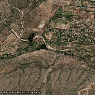
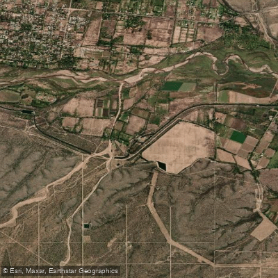
Learn how to get on Río Diamante. Uncover great paddling access points, boat ramps, and all the facilities you need for an unforgettable day on the water. Some locations shown may border or include private property. Always check property boundaries and applicable regulations before visiting. PaddleWays's Public & Private Land layer can help you plan your access with confidence.
Paddle smarter with real-time insights
Whether you're en route and conditions shift or you're looking for the best spot based on current flows, we enable you to make informed decisions on the fly.







Mendoza licenses and regulations

Find Places to Paddle

Over 400,000 Places to Paddle
Every user gets free access to launch points, boat ramps, and public property parcels.


Water and weather conditions (10 day forecast)
See the best times to paddle Río Diamante and check the forecast before you go.
Diamante - La Jaula
All Flow Stations
Paddling near Río Diamante
Explore Mendoza waters
Top paddling waters
No waters available right now.
Popular Cities
Loading popular cities...
Explore near Río Diamante

Smarter Paddling Starts in the App.
Paddleways gives you everything you need to plan smarter, paddle better, and own every trip from first launch to takeout.