Embalse Valle Grande
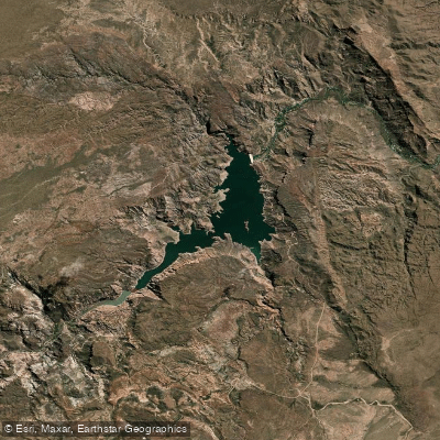
Embalse Valle Grande
- Boat Ramps
- 0
- Access Points
- 0
- Campsites
- 0
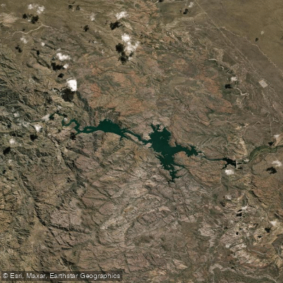
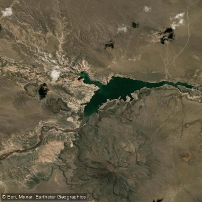
Embalse Valle Grande is a reservoir situated in the Cañón del Atuel, approximately 30 to 38 kilometers from the city of San Rafael in the province of Mendoza, reached via Ruta Provincial 173. The reservoir covers 508 hectares and sits at an elevation of 840 meters above sea level. It forms part of a series of hydroelectric dams along the Río Atuel, and its waters are notably emerald-green in color, framed by canyon walls that can reach up to 260 meters in height — dramatic, colorful formations sculpted by wind and the river over time.
The climate is cold and dry, and warm clothing along with sunscreen is recommended regardless of season. During summer, the Río Atuel runs with higher volume and stronger rapids, making conditions more intense for river paddling. In winter, flow and speed decrease, which is considered more suitable for kayaking and calmer navigation while still allowing paddlers to appreciate the canyon scenery.
The reservoir itself supports flatwater paddling, with kayaking and catamaran tours available on the lake portion. The river section below the dam offers rafting with rapids that are challenging even for experienced paddlers, and multiple local operators run guided excursions for a range of skill levels. The distinction between the lake and river sections is worth noting when planning a trip: the reservoir provides calm paddling, while the Río Atuel downstream delivers whitewater.
Access to the area is by vehicle along Ruta Provincial 173. The dirt road in the area can be in poor condition, so paddlers should verify road conditions before traveling. Accommodation options in the Valle Grande zone include campgrounds, cabins, and hotels, along with restaurants and supply stores, making multi-day trips logistically feasible. The recommended stay is two to four days to make the most of the area.
Water access, boat ramps & amenities
Learn how to get on Embalse Valle Grande. Uncover great paddling access points, boat ramps, and all the facilities you need for an unforgettable day on the water. Some locations shown may border or include private property. Always check property boundaries and applicable regulations before visiting. PaddleWays's Public & Private Land layer can help you plan your access with confidence.
Paddle smarter with real-time insights
Whether you're en route and conditions shift or you're looking for the best spot based on current flows, we enable you to make informed decisions on the fly.







Mendoza licenses and regulations

Find Places to Paddle

Over 400,000 Places to Paddle
Every user gets free access to launch points, boat ramps, and public property parcels.


Water and weather conditions (10 day forecast)
See the best times to paddle Embalse Valle Grande and check the forecast before you go.
No forecast data available.
Paddling near Embalse Valle Grande
Explore Mendoza waters
Top paddling waters
No waters available right now.
Popular Cities
Loading popular cities...
Explore near Embalse Valle Grande

Smarter Paddling Starts in the App.
Paddleways gives you everything you need to plan smarter, paddle better, and own every trip from first launch to takeout.