Río Colorado
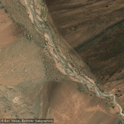
Río Colorado
- Boat Ramps
- 0
- Access Points
- 0
- Campsites
- 0
The Río Colorado in this region is formed at the confluence with Río Barrancas, where the river transitions from its upper name (Río Grande) to Colorado. At this confluence, flows reach approximately 3,000 cfs, and the character of the river shifts noticeably — becoming flatter and more open compared to the whitewater sections upstream.
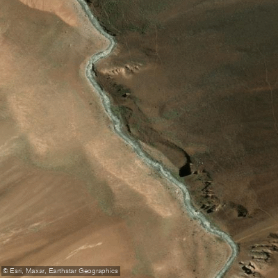
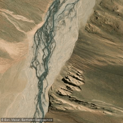
From the confluence onward, the Colorado runs through open, arid desert landscape for roughly 130 miles before reaching the first dam impoundment. The terrain is largely barren, though the route includes at least one class II canyon section that provides some relief from the otherwise flat water. The overall difficulty of the Lower Colorado is easy, making it accessible to paddlers without significant whitewater experience.
Access to the lower sections is relatively straightforward due to proximity to populated areas. The river's easy nature and available access points have led to descents by numerous individuals over the years.
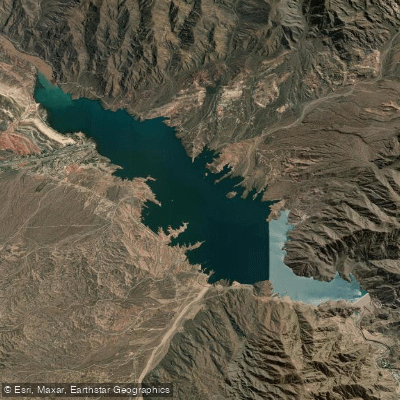
The entire Río Grande-Colorado system, including the Colorado section, has been under threat from proposed dam projects. A major dam project was approved by both the federal government and the Mendoza provincial government in early 2018, despite significant opposition from downstream provinces that depend on the river's flow for irrigation. Paddlers planning trips should verify the current status of any dam construction, as this could materially affect river conditions and access.
The broader region around Mendoza and San Rafael offers other paddling options on nearby rivers including Río Mendoza (class IV), Río Tunuyán (class III-IV), Río Diamante (class V), and Río Atuel (class II or IV). The nearest major airports are Mendoza (MDZ) and San Rafael (AFA).
Water access, boat ramps & amenities
Learn how to get on Río Colorado. Uncover great paddling access points, boat ramps, and all the facilities you need for an unforgettable day on the water. Some locations shown may border or include private property. Always check property boundaries and applicable regulations before visiting. PaddleWays's Public & Private Land layer can help you plan your access with confidence.
Paddle smarter with real-time insights
Whether you're en route and conditions shift or you're looking for the best spot based on current flows, we enable you to make informed decisions on the fly.







Mendoza licenses and regulations

Find Places to Paddle

Over 400,000 Places to Paddle
Every user gets free access to launch points, boat ramps, and public property parcels.


Water and weather conditions (10 day forecast)
See the best times to paddle Río Colorado and check the forecast before you go.
No forecast data available.
Explore Mendoza waters
Top paddling waters
No waters available right now.
Popular Cities
Loading popular cities...
Explore near Río Colorado
Nearby waters
More in Mendoza

Smarter Paddling Starts in the App.
Paddleways gives you everything you need to plan smarter, paddle better, and own every trip from first launch to takeout.