Laguna Tromen
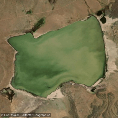
Laguna Tromen
- Boat Ramps
- 0
- Access Points
- 0
- Campsites
- 0
Laguna Tromen sits on the northern slope of Volcán Tromen at an elevation of 2,100 meters above sea level, within Parque Provincial El Tromen in the departments of Chos Malal and Pehuenches, Neuquén province, Argentina. The lake covers a surface area of 4.5 square kilometers and has a mean depth of 82 meters, making it a substantial body of water despite its high-altitude setting. The nearest town is Chos Malal, approximately 38 kilometers away, accessed via Ruta Nacional 40.
The laguna is part of the Río Negro drainage basin and holds international recognition as a Ramsar wetland site, reflecting its ecological significance. The surrounding landscape includes a lava field associated with the volcano, adding a distinctive geological character to the setting.
Wildlife is a defining feature of this location. The lake supports a rich diversity of bird species, including grebes, bandurrias, black-necked swans, herons, flamingos, cauquénes, and various ducks. Migratory birds from the Canadian tundra visit here, among them sandpipers and the phalarope. The Andean condor is present in the broader park area. This concentration of birdlife makes the laguna of particular interest to naturalists.
The park, established by provincial decree in 1971, also encompasses the Bañado los Barros wetlands nearby. Activities available within the park include ecotourism and hiking, and the volcano itself can be climbed to explore its craters. The combination of the lava field, wetlands, and high-altitude lake gives the area a varied and geologically active character.
Given the elevation of 2,100 meters, paddlers should account for the effects of altitude and the typically cold, exposed conditions common to Patagonian high-country lakes. The park's Ramsar status may carry specific regulations regarding use of the water body, and paddlers are advised to check with provincial park authorities regarding any restrictions before planning a trip.
Water access, boat ramps & amenities
Learn how to get on Laguna Tromen. Uncover great paddling access points, boat ramps, and all the facilities you need for an unforgettable day on the water. Some locations shown may border or include private property. Always check property boundaries and applicable regulations before visiting. PaddleWays's Public & Private Land layer can help you plan your access with confidence.
Paddle smarter with real-time insights
Whether you're en route and conditions shift or you're looking for the best spot based on current flows, we enable you to make informed decisions on the fly.







Neuquén licenses and regulations

Find Places to Paddle

Over 400,000 Places to Paddle
Every user gets free access to launch points, boat ramps, and public property parcels.


Water and weather conditions (10 day forecast)
See the best times to paddle Laguna Tromen and check the forecast before you go.
No forecast data available.
Paddling near Laguna Tromen
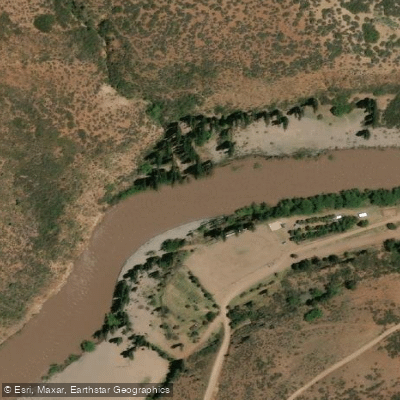
Río Neuquén
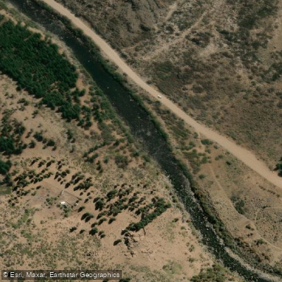
Río Nahueve
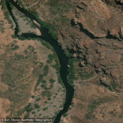
Río Trocomán
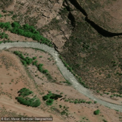
Río Reñileuvú
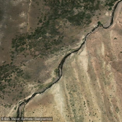
Arroyo Leuto Caballo
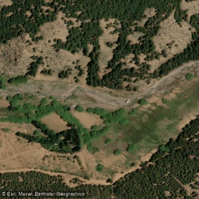
Arroyo Huinganco
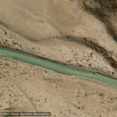
Río Grande
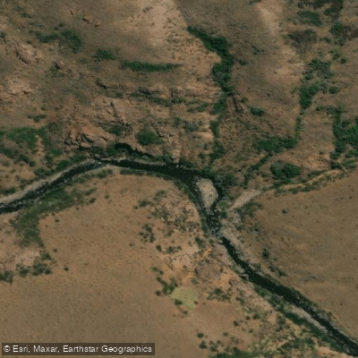
Río Picunleo
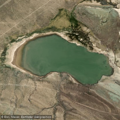
Laguna Auquinco
Explore Neuquén waters
Top paddling waters
No waters available right now.
Popular Cities
Loading popular cities...
Explore near Laguna Tromen

Smarter Paddling Starts in the App.
Paddleways gives you everything you need to plan smarter, paddle better, and own every trip from first launch to takeout.