Río Neuquén
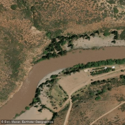
Río Neuquén
- Boat Ramps
- 0
- Access Points
- 0
- Campsites
- 10
The Río Neuquén originates at the confluence of the Ríos Vavarco and Pichi Neuquén at approximately 1,200 meters elevation in the northern Patagonian Andes of Neuquén province, Argentina. Fed by snowmelt from the eastern slopes of the Bío Bío and Ñuble drainages in the Andes, the river grows substantially as it descends, reaching a volume approaching half that of the Colorado River through the Grand Canyon by the time it reaches the Paso de los Indios. The full descent covers approximately 419 kilometers (212 miles).
The river divides naturally into two distinct characters. The upper section, beginning at Lago Vavarco, presents class III–IV whitewater with some optional class V, running through terrain that includes accessible hot springs and established camp areas along the banks. This upper stretch spans roughly the first 200 kilometers and is best suited for experienced whitewater paddlers. The lower section transitions into a remote wilderness canyon with predominantly class II water, offering solitude and dramatic Patagonian desert canyon scenery for approximately 200 additional kilometers down to Paso de los Indios.
Spring offers the best paddling conditions, with October through December bringing normal higher flows driven by snowmelt. At these flows the river is well-suited for both raft and kayak descents. A full expedition covering the entire river typically takes 12 to 14 days, with daily paddling generally running from around 9 a.m. to 4 p.m. and covering 26 to 43 kilometers depending on the section.
Wildlife along the river corridor includes swans, ducks, white and purple herons, biguas, and turkey vultures. The scenery shifts noticeably as paddlers descend from the high Andean elevation of Lago Vavarco into the open desert canyon of the lower river. The lower wilderness section also offers opportunities for day hikes from camp. The river remains undammed along its paddleable length, which is a notable characteristic for a river of this size in the region.
The city of Neuquén, accessible by air via Juan Domingo Perón International Airport or by bus and road from Buenos Aires, serves as a practical logistics hub for the lower end of the river corridor.
Water access, boat ramps & amenities
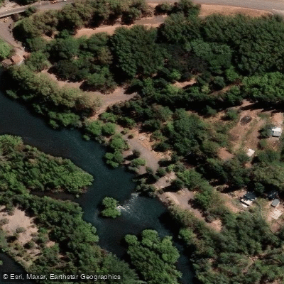
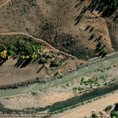
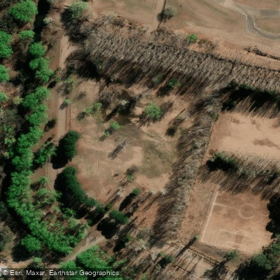
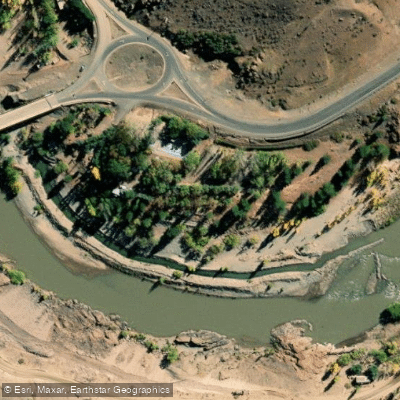
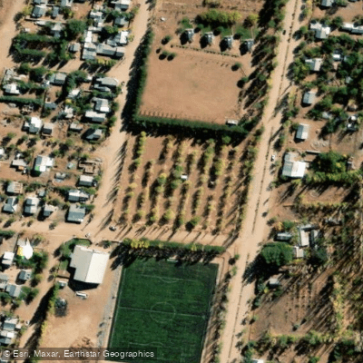
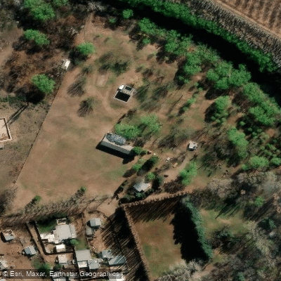
Learn how to get on Río Neuquén. Uncover great paddling access points, boat ramps, and all the facilities you need for an unforgettable day on the water. Some locations shown may border or include private property. Always check property boundaries and applicable regulations before visiting. PaddleWays's Public & Private Land layer can help you plan your access with confidence.

Paddle smarter with real-time insights
Whether you're en route and conditions shift or you're looking for the best spot based on current flows, we enable you to make informed decisions on the fly.







Neuquén licenses and regulations

Find Places to Paddle

Over 400,000 Places to Paddle
Every user gets free access to launch points, boat ramps, and public property parcels.


Water and weather conditions (10 day forecast)
See the best times to paddle Río Neuquén and check the forecast before you go.
Neuquen - Paso de Indios
All Flow Stations
Explore Neuquén waters
Top paddling waters
No waters available right now.
Popular Cities
Loading popular cities...
Explore near Río Neuquén
Access points
More in Neuquén

Smarter Paddling Starts in the App.
Paddleways gives you everything you need to plan smarter, paddle better, and own every trip from first launch to takeout.