Río Aluminé
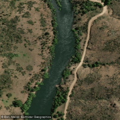
Río Aluminé
- Boat Ramps
- 0
- Access Points
- 0
- Campsites
- 5
The Río Aluminé originates at Lago Aluminé in northern Patagonia, Neuquén Province, and flows for nearly 200 kilometers through a transition zone from Andean Patagonian forest to open steppe. The river is notable for its jade-colored, crystal-clear water, through which the riverbed and stones are visible. The banks are lined with large araucaria (monkey puzzle) trees, some of the largest specimens found anywhere, and the surrounding landscape is characterized by mountains, lakes, and volcanic terrain.
The river offers whitewater ranging from Class II to Class IV, making it suitable for a range of paddling abilities. The Abra Ancha Circuit, located approximately 8 kilometers from the town of Aluminé, is a well-known 6-kilometer stretch featuring Class II and III rapids that can be run year-round and requires no prior experience. Higher-gradient Class III and IV sections are best paddled from October to December, when snowmelt brings the river to optimal volume for its full length. Multi-day expeditions are also possible; one operator runs a 6-day river journey beginning near Villa Pehuenia, passing through the town of Aluminé — the only significant settlement along the route — and continuing into more remote terrain. The upper section near Villa Pehuenia carries Class IV water for roughly the first two days before the gradient eases.
The town of Aluminé serves as the primary hub for paddling services, with outfitters offering guided rafting and kayaking, equipment rental, and instruction for all levels. The GPS coordinates 39°19'38.8"S, 70°55'19.1"W are associated with at least one local kayak operation. The river has hosted major national and international competitions, including the World Rafting Championships, reflecting its standing as one of Argentina's premier whitewater venues. Sport fishing, particularly fly fishing for trout, is also practiced on the river and may bring additional users to certain stretches.
Water access, boat ramps & amenities
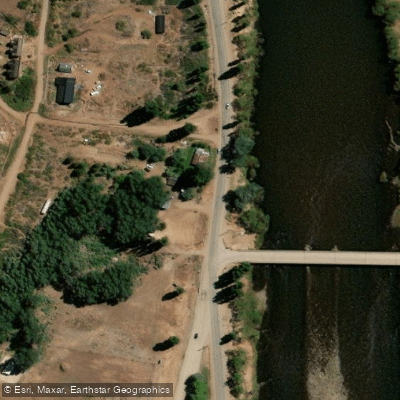
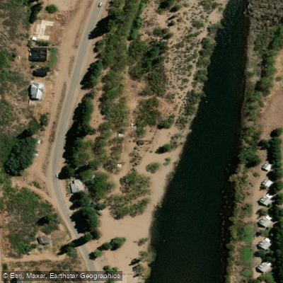
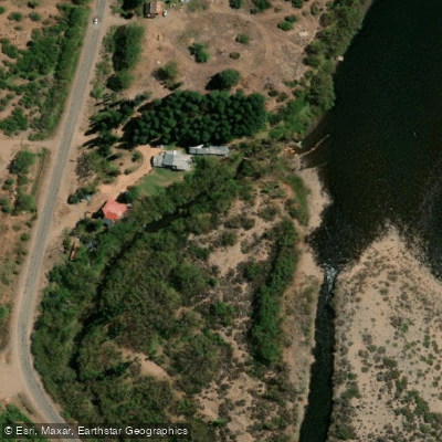
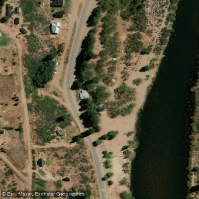
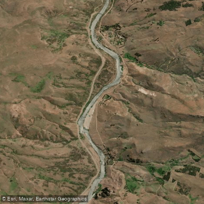
Learn how to get on Río Aluminé. Uncover great paddling access points, boat ramps, and all the facilities you need for an unforgettable day on the water. Some locations shown may border or include private property. Always check property boundaries and applicable regulations before visiting. PaddleWays's Public & Private Land layer can help you plan your access with confidence.
Paddle smarter with real-time insights
Whether you're en route and conditions shift or you're looking for the best spot based on current flows, we enable you to make informed decisions on the fly.







Neuquén licenses and regulations

Find Places to Paddle

Over 400,000 Places to Paddle
Every user gets free access to launch points, boat ramps, and public property parcels.


Water and weather conditions (10 day forecast)
See the best times to paddle Río Aluminé and check the forecast before you go.
No forecast data available.
Paddling near Río Aluminé
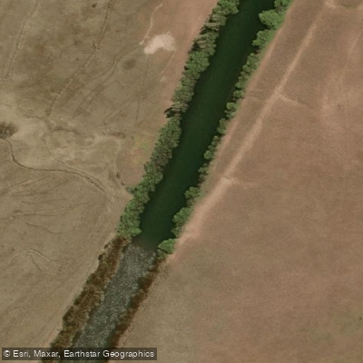
Río Chimehuín
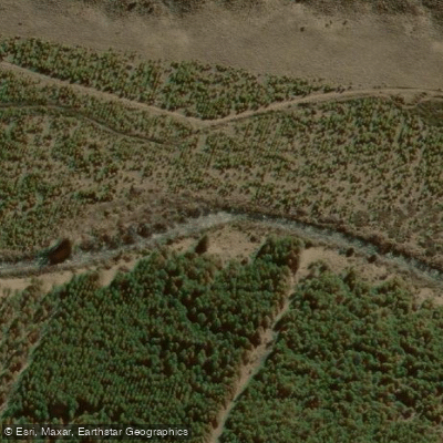
Río Currhué
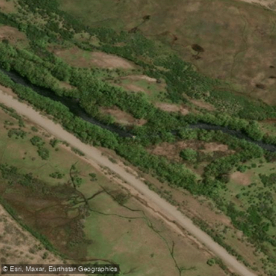
Río Malleo
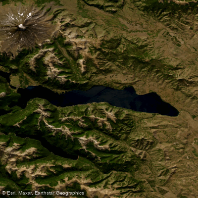
Lago Huechulafquen
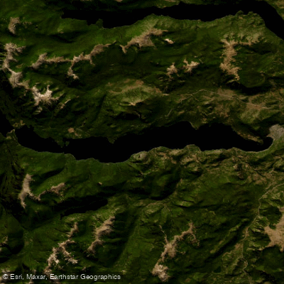
Lago Lácar
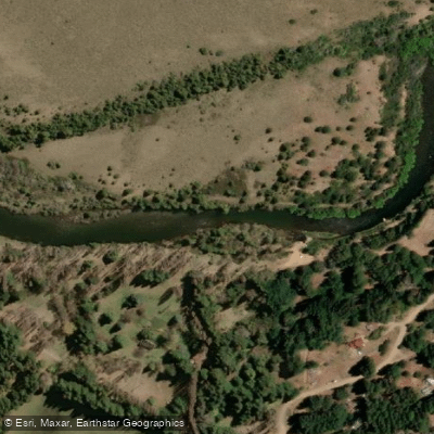
Río Quilquihue
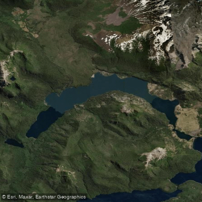
Lago Paimún
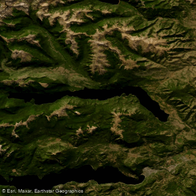
Lago Lolog
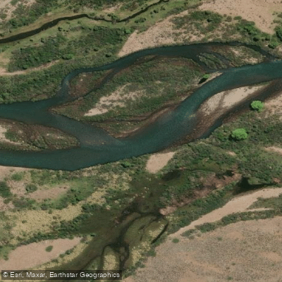
Río Caleufú
Explore Neuquén waters
Top paddling waters
No waters available right now.
Popular Cities
Loading popular cities...
Explore near Río Aluminé

Smarter Paddling Starts in the App.
Paddleways gives you everything you need to plan smarter, paddle better, and own every trip from first launch to takeout.