Paddling in Nahuel Huapi National Park
- National Park
- Lakes
- 73
- Rivers
- 107
- Access
- 0
- Boat Ramps
- 1
- Shops
- 0
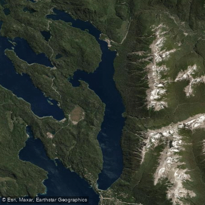
Nahuel Huapi sits in the Patagonian Andes of southwestern Argentina, straddling Neuquén and Río Negro provinces across roughly 717,000 hectares.
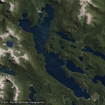
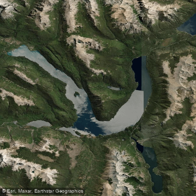
It is the country's oldest national park, and its defining feature is water: more than 60 lakes and lagoons, two major rivers, and a maze of streams, all carved by glaciers and fed by snowmelt draining off the Andes.
The paddling here spans calm glacial lakes and moving whitewater, with Bariloche as the practical base for most of it. Lago Nahuel Huapi anchors everything.
It stretches roughly 100 kilometers, its many arms — brazos — reaching into the mountains in different directions.
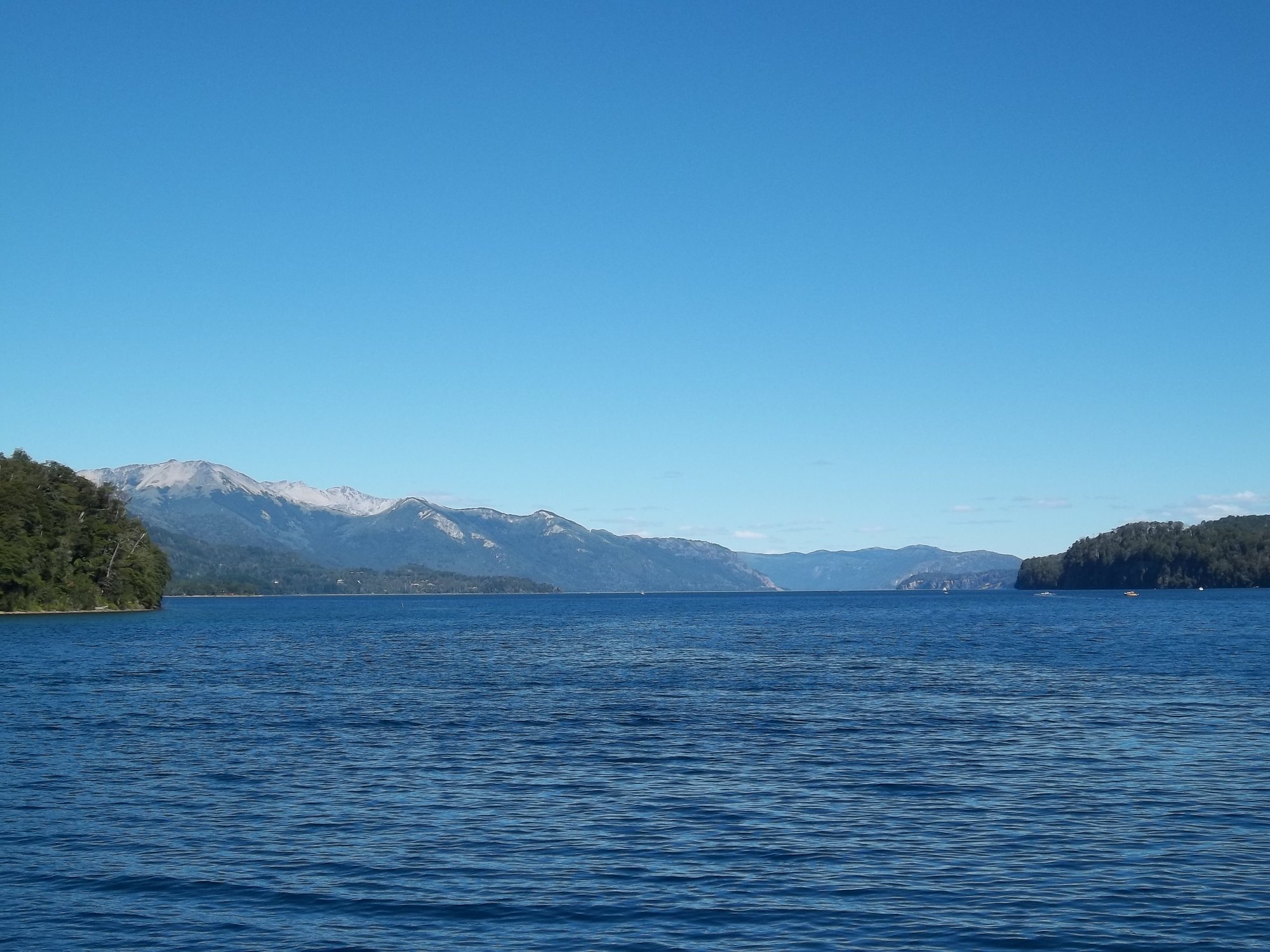
Paddlers typically work the western shore, launching from Bahía López and pushing toward the entrance of Brazo Tristeza, where the lake's full length opens up ahead.
The coastline along this stretch is rugged: cliffs, small waterfalls, and isolated beaches that are only reachable by water.
A multi-day traverse from Villa La Angostura south to Bariloche covers around 51 kilometers and crosses four of the lake's five arms — a serious undertaking suited to paddlers with open-water experience.
The season runs November through May, with the southern summer months offering the most stable conditions. Lago Mascardi, south of Bariloche between the lake and Cerro Tronador, draws paddlers on multi-day itineraries that combine kayaking with trekking.
Lago Espejo, farther north along the Siete Lagos corridor, is noted as one of the warmer lakes in the park.
Lago Traful, Lago Falkner, and Lago Correntoso are among the other glacier-carved bodies within the park boundaries, each accessible along the routes that thread through the Lake District.
The Río Manso provides the whitewater counterpoint to the flatwater lakes. Rafting and kayaking on the Manso are the main moving-water options in the park, and the river sees consistent use through the summer season.
Paddling inside a national park administered by the Administración de Parques Nacionales means operating under a different set of rules than on unprotected water.
Parts of the park carry strict natural reserve status, and access to certain areas by water may be restricted. Check current regulations with the park directly before planning any overnight or backcountry paddle — the rules matter here, and they are enforced.
The scale of this place demands respect. Wind on Lago Nahuel Huapi can build fast, the water is cold year-round, and distances between landings on the bigger arms are real.
That is not a reason to stay off the water — it is a reason to read the lake before you commit to a crossing.
Water and weather conditions (10 day forecast)
See the best times to paddle Nahuel Huapi National Park and check the forecast before you go.
No forecast data available.
Paddle smarter with real-time insights
Whether you're en route and conditions shift or you're looking for the best spot based on current flows, we enable you to make informed decisions on the fly.







Paddling near Nahuel Huapi National Park
Loading...
Gateway towns
Where to base yourself for paddling in Nahuel Huapi National Park.
- San Carlos de BarilocheRío Negro
The main gateway to the park, with the park visitor center, outfitters, guides, lodging, and direct access to trails and lake excursions.
- Villa La AngosturaNeuquén
A smaller town on the northern shore of Lake Nahuel Huapi, inside the park, with hotels and access to the park's Neuquén side.
- Villa TrafulNeuquén
A quiet village on Lago Traful within the park, offering lodging and a base for exploring the lake and surrounding backcountry.
Explore Nahuel Huapi National Park
Top paddling waters
Popular Cities
Loading popular cities...

Smarter Paddling Starts in the App.
Paddleways gives you everything you need to plan smarter, paddle better, and own every trip from first launch to takeout.