Lago Mascardi
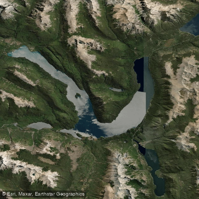
Lago Mascardi
- Boat Ramps
- 0
- Access Points
- 0
- Campsites
- 3
Lago Mascardi is a glacially formed lake in the Bariloche Department of Río Negro Province, situated within Nahuel Huapi National Park approximately 30 kilometers south of Bariloche via Ruta Nacional 40. The lake sits at 750 meters above sea level and covers 39.2 square kilometers, with a maximum length of 15 kilometers, a maximum width of 2.5 kilometers, an average depth of 111 meters, and a maximum depth of 218 meters. Its most distinctive geographical feature is a pronounced V-shape formed by two arms: the Catedral arm, which runs roughly north-south, and the Tronador arm, which runs east-west. Isla Corazón sits near the vertex where the two arms meet. The dominant visual backdrop is Cerro Tronador, a stratovolcano whose glaciers are visible from the water. The lake's water is notably turquoise and clear.
The climate is cold and humid, with heavy rainfall and significant snowfall in winter. Paddlers should come prepared for low temperatures regardless of season, and access roads can be affected by winter weather conditions.
The primary kayak route covers the north side of the lake, launching from the area of Arroyo Fresco and Playa de los Leones and continuing approximately 25 kilometers to the Los Rápidos campsite on the Tronador arm, with a possible detour to Isla Corazón before returning. Multi-day traverses are also undertaken, with one two-day trip departing from the Campamento Educativo los Césares on the western shore, paddling to Arroyo Casalata, continuing to Arroyo La Volteada for an overnight stop, then completing the Tronador arm and circumnavigating Isla Corazón on the second day. A support vessel accompanied that group.
Several campgrounds are accessible from the water or nearby roads, including Relmu Lafquen (operated by the Wiritray Mapuche community on the north shore of the Catedral arm), La Querencia (4.5 kilometers along Route 81), and Los Rápidos on the Tronador arm shore. The Manso River is both the primary inflow and outflow. As the lake lies within Nahuel Huapi National Park, national park entrance fees may apply, and visitors are expected to follow park regulations regarding waste, fires, and camping.
Water access, boat ramps & amenities
Learn how to get on Lago Mascardi. Uncover great paddling access points, boat ramps, and all the facilities you need for an unforgettable day on the water. Some locations shown may border or include private property. Always check property boundaries and applicable regulations before visiting. PaddleWays's Public & Private Land layer can help you plan your access with confidence.
Paddle smarter with real-time insights
Whether you're en route and conditions shift or you're looking for the best spot based on current flows, we enable you to make informed decisions on the fly.







Río Negro licenses and regulations

Find Places to Paddle

Over 400,000 Places to Paddle
Every user gets free access to launch points, boat ramps, and public property parcels.


Water and weather conditions (10 day forecast)
See the best times to paddle Lago Mascardi and check the forecast before you go.
No forecast data available.
Paddling near Lago Mascardi
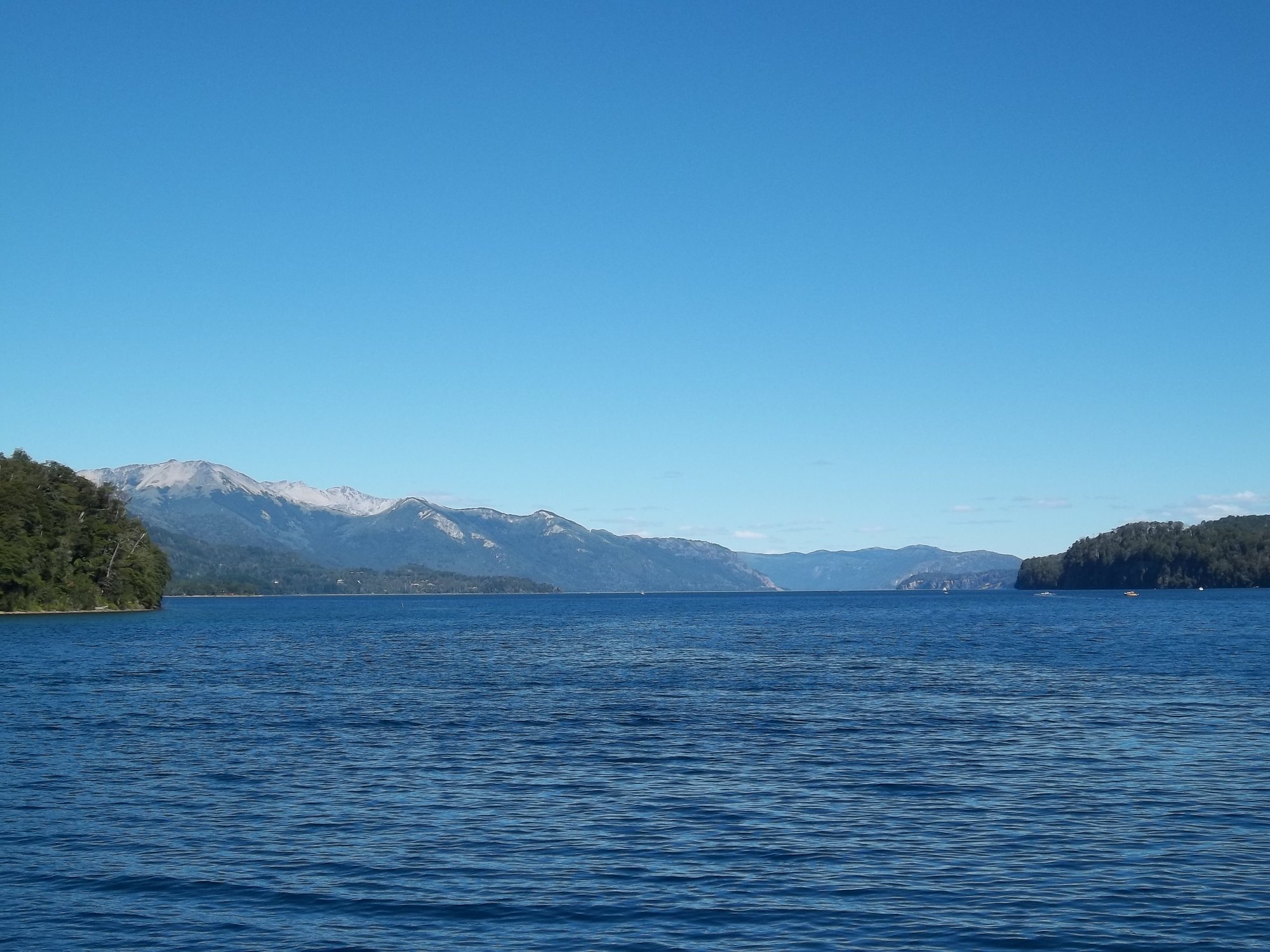
Lago Nahuel Huapi
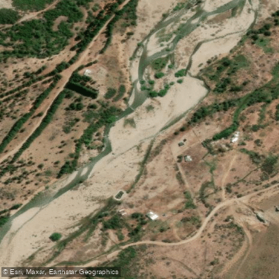
Río Ñirihuau
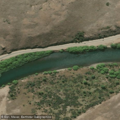
Río Limay
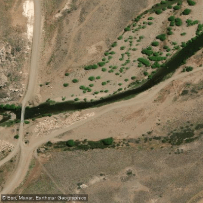
Río Pichi Leufú
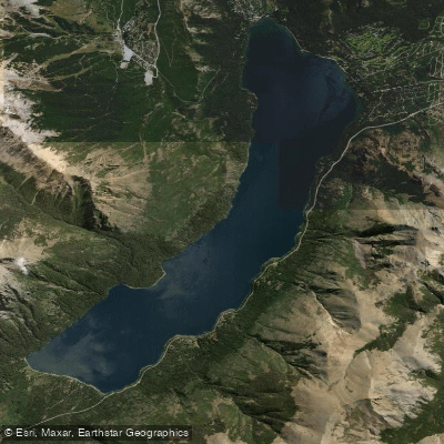
Lago Gutiérrez
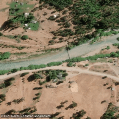
Río Manso
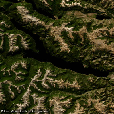
Lago Traful
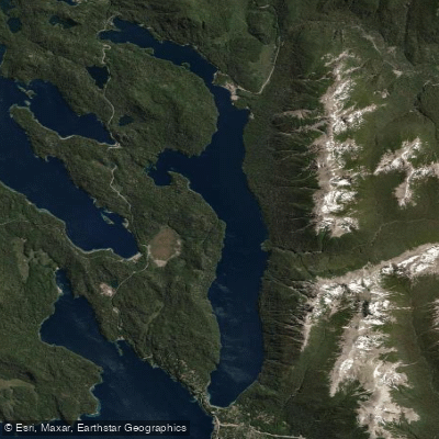
Lago Correntoso
Río Chubut
Explore Río Negro waters
Top paddling waters
No waters available right now.
Popular Cities
Loading popular cities...
Explore near Lago Mascardi

Smarter Paddling Starts in the App.
Paddleways gives you everything you need to plan smarter, paddle better, and own every trip from first launch to takeout.