Río Manso
Río Manso
- Boat Ramps
- 0
- Access Points
- 0
- Campsites
- 13
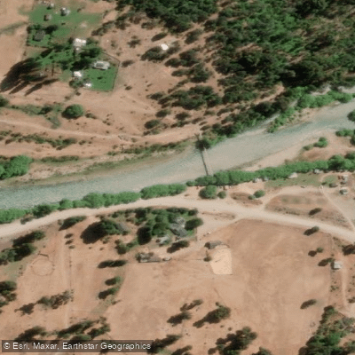
The Río Manso rises at approximately 1,000 metres elevation on the eastern flanks of Mount Tronador, fed by the Ventisquero Negro glacier, and flows generally southward through the Nahuel Huapi National Park in Río Negro Province before crossing into Chile and eventually joining the Puelo River. Along its course, the river passes through or connects a chain of glacial lakes — including Mascardi, Las Moscas, Hess, Roca, Franck, Martín, and Steffen — separated by stretches of often turbulent river. The water is notably turquoise and crystal-clear, and the surrounding landscape consists of snow-capped Andean peaks, narrow canyons, white-sand beaches, cascading waterfalls, and dense Patagonian vegetation.
For paddlers, the river is typically divided into two main sections. The upper portion, known as the Manso Inferior, runs through the heart of Nahuel Huapi National Park and features Class II–III rapids. This section begins near Lago Steffen and is considered suitable for families and beginners, with a descent of roughly one hour on the water. The lower section, known as the Manso Frontera, is the more demanding run, featuring more than ten rapids ranging from Class II to IV, with the most technical whitewater concentrated near the Argentine-Chilean border, particularly after exiting the Terciopelo ravine. The Frontera section takes approximately two hours on the water and ends at the international border with Chile, where participants exit the river and return by vehicle to the put-in area.
Rafts on the Frontera section typically hold seven or eight paddlers plus a guide, and a safety kayak accompanies the descent to scout the course. No prior paddling experience is required for either section. The minimum age for the Frontera run is 14 years; the Inferior section accepts participants from age 5. Departures for the Frontera section are offered at 9 a.m. and noon, running from September through March. Access to both sections is from San Carlos de Bariloche, with a roughly two-hour drive via Ruta Nacional 40 passing Lago Gutiérrez, Lago Mascardi, and Lago Guillelmo. The river also supports drift fishing for trout, with guides using self-bailing rafts on the more remote lake and river stretches accessible from Lago Hess.
Water access, boat ramps & amenities
Learn how to get on Río Manso. Uncover great paddling access points, boat ramps, and all the facilities you need for an unforgettable day on the water. Some locations shown may border or include private property. Always check property boundaries and applicable regulations before visiting. PaddleWays's Public & Private Land layer can help you plan your access with confidence.
Paddle smarter with real-time insights
Whether you're en route and conditions shift or you're looking for the best spot based on current flows, we enable you to make informed decisions on the fly.







Río Negro licenses and regulations

Find Places to Paddle

Over 400,000 Places to Paddle
Every user gets free access to launch points, boat ramps, and public property parcels.


Water and weather conditions (10 day forecast)
See the best times to paddle Río Manso and check the forecast before you go.
Manso - Steffen
Paddling near Río Manso
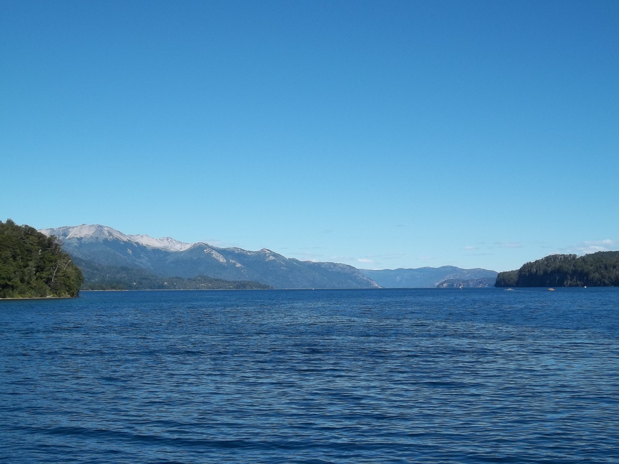
Lago Nahuel Huapi
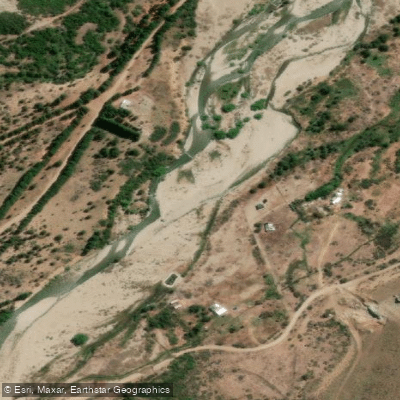
Río Ñirihuau
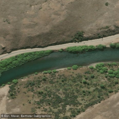
Río Limay
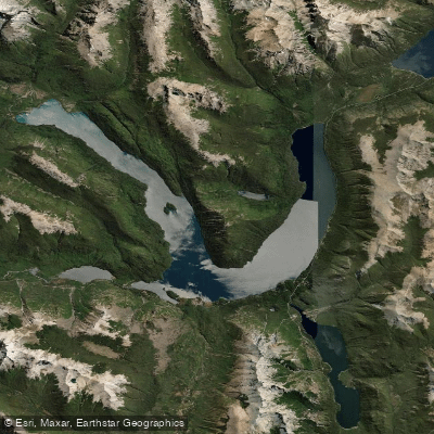
Lago Mascardi
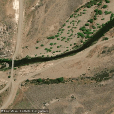
Río Pichi Leufú
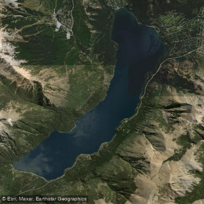
Lago Gutiérrez
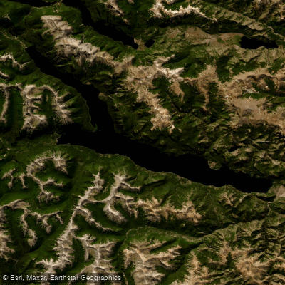
Lago Traful
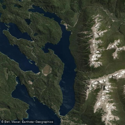
Lago Correntoso
Río Chubut
Explore Río Negro waters
Top paddling waters
No waters available right now.
Popular Cities
Loading popular cities...
Explore near Río Manso
Access points
Nearby waters
More in Río Negro

Smarter Paddling Starts in the App.
Paddleways gives you everything you need to plan smarter, paddle better, and own every trip from first launch to takeout.