Embalse Ezequiel Ramos Mexía
- Lake
- Lake
- Boat Ramps
- 2
- Access Points
- 0
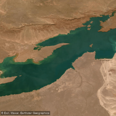
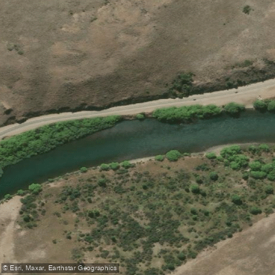
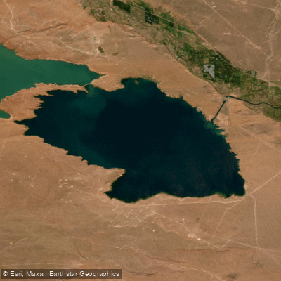
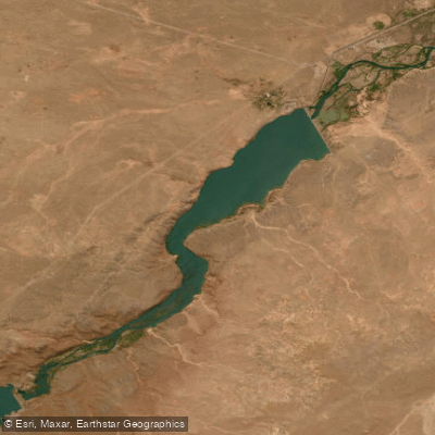
Embalse Ezequiel Ramos Mexía, commonly known as El Chocón, is a large artificial reservoir on the Limay River in the Patagonian region of Neuquén and Río Negro provinces, Argentina. The dam sits at approximately 381 metres above mean sea level, about 80 km upstream of the confluence of the Limay and Neuquén rivers. The reservoir covers a surface area of roughly 816 km² (83,000 hectares), with a maximum water depth of 60–64 metres and a total storage capacity of approximately 20,155 million m³, making it one of the largest artificial lakes in South America. The dam structure itself is 94 metres high and 2,500 metres long.
The reservoir impounds the waters of the Limay River, which originates at Lago Nahuel Huapi before eventually joining the Neuquén River to form the Río Negro. The surrounding landscape is characteristic of northwestern Patagonian steppe, and the viewpoint (Mirador del Embalse Ezequiel Ramos Mexía) near Villa El Chocón on Ruta Nacional 237 at km 1297 offers panoramic views across the reservoir. The town of Villa El Chocón, with a small resident population, serves as the primary base for visitors to the area.
Fishing is a popular activity on the reservoir. Regulations cover the stretch from Paraje Álamo Guacho to 500 metres before the El Chocón dam structure. The fishing season runs from November 1 through October 31 of the following year, with permitted species including trout, perca, and pejerrey. From May 2 onward, mandatory catch-and-release applies to all salmonids and barbless hooks are required. Pejerrey fishing is authorized through August 15 using specific equipment. The reservoir is classified as a free-fishing zone within these regulated parameters, and the water body is shared between Neuquén and Río Negro jurisdictions, so anglers should consult the Río Negro annex as well.
The reservoir is part of a broader hydroelectric complex that also includes the Arroyito plant 25 km downstream. Paddlers should be aware of the dam infrastructure at the southern end of the reservoir and the potential for regulated water releases, which can affect conditions on the water.
Hazards
Hazards on Embalse Ezequiel Ramos Mexía
No hazards are marked on Embalse Ezequiel Ramos Mexía yet. That is not the same as none being there: if you find one, report it for the next paddler.
From the community
Embalse Ezequiel Ramos Mexía trip reports
Nobody has shared a trip on Embalse Ezequiel Ramos Mexía yet. Paddle it, then tell the next paddler how it went.
Water access
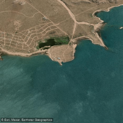
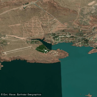
Where to get on and off Embalse Ezequiel Ramos Mexía: launch points, boat ramps and bridges.
Paddling conditions (10 day forecast)
Weather and wind, so you know what to expect on Embalse Ezequiel Ramos Mexía today.
No forecast data available.
Paddle smarter with real-time insights
Live flows, marked hazards and fresh trip reports from paddlers who were just on the water, all in one place.







Find Places to Paddle

Over 400,000 Places to Paddle
Every user gets free access to launch points, boat ramps, and public property parcels.


Río Negro licenses and regulations

Explore Río Negro waters
Top paddling waters
No waters available right now.
Explore near Embalse Ezequiel Ramos Mexía
Smarter Paddling Starts in the App.
PaddleWays gives you everything you need to plan smarter, paddle better, and own every trip from first launch to takeout.