Embalse Campo Alegre
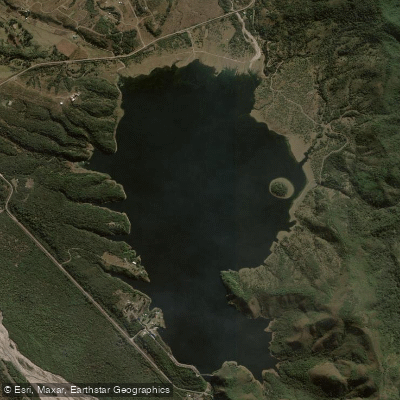
Embalse Campo Alegre
- Boat Ramps
- 0
- Access Points
- 0
- Campsites
- 1
Embalse Campo Alegre, formally known as Embalse Campo Alegre Ing. Alonso Peralta, is a reservoir situated at approximately 1,421 meters above sea level in the province of Salta, Argentina. Built in the early 1970s, it lies about 5 kilometers from the town of La Caldera and roughly 30–35 kilometers from the city of Salta. The reservoir is surrounded by hills and ravines characteristic of the yungas ecological zone, where dense subtropical vegetation covers the slopes. The water body covers approximately 1.2 square miles.
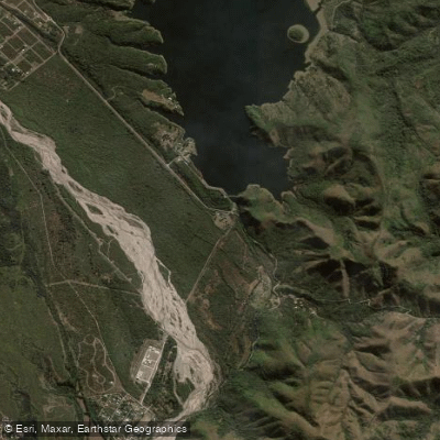
Access to the reservoir is via Ruta Nacional 9 heading toward the province of Jujuy, following a mountain road alongside the Río Caldera through the towns of Vaqueros and La Caldera. The nearby facility Camping El Angosto, located a few meters before the reservoir entrance, offers day access with an entry fee and provides kayaking opportunities. The campground operates daily from 9:00 AM to 8:00 PM; overnight camping is not permitted there. Pets are allowed at this facility.
Kayaking is an established activity on the reservoir, and sailing and other water sports are also practiced here. Sport fishing is popular, though paddlers should be aware that seasonal fishing closures are enforced. A fishing ban (veda) has historically run from around June through late November, with restricted zones marked by buoys placed by provincial environmental authorities. During the veda period, fishing is strictly prohibited in the designated areas. A valid Salta fishing license is required for fishing activity.
The reservoir's primary purpose is irrigation and as a water reserve for the city of Salta, which may influence water levels seasonally. The surrounding environment is noted for abundant birdlife, making the shoreline of interest to wildlife observers. The lush yungas vegetation creates a visually distinctive backdrop. Access to the water is free of charge, though fees may apply for use of specific facilities such as camping areas or boat rentals.
Water access, boat ramps & amenities
Learn how to get on Embalse Campo Alegre. Uncover great paddling access points, boat ramps, and all the facilities you need for an unforgettable day on the water. Some locations shown may border or include private property. Always check property boundaries and applicable regulations before visiting. PaddleWays's Public & Private Land layer can help you plan your access with confidence.
Paddle smarter with real-time insights
Whether you're en route and conditions shift or you're looking for the best spot based on current flows, we enable you to make informed decisions on the fly.







Salta licenses and regulations

Find Places to Paddle

Over 400,000 Places to Paddle
Every user gets free access to launch points, boat ramps, and public property parcels.


Water and weather conditions (10 day forecast)
See the best times to paddle Embalse Campo Alegre and check the forecast before you go.
No forecast data available.
Paddling near Embalse Campo Alegre
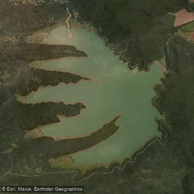
Embalse Las Maderas
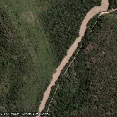
Río Arias o Arenales
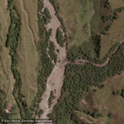
Río Potrero de Castilla
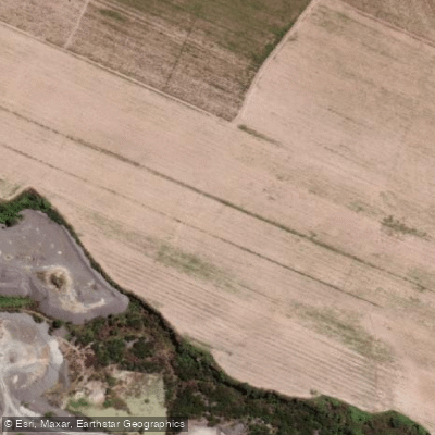
Río Rosario
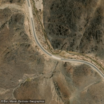
Arroyo Tastil
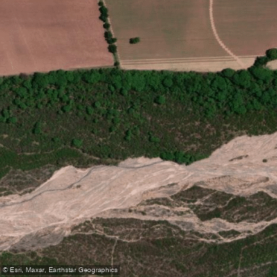
Río Chicoana
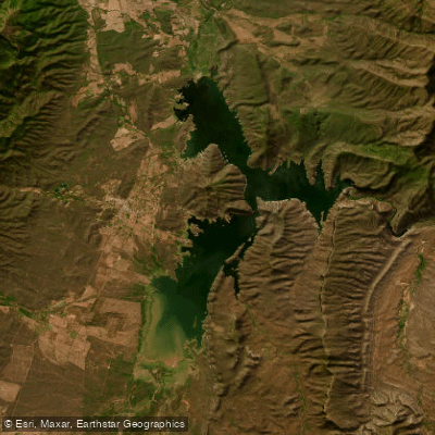
Embalse Cabra Corral
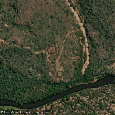
Río Pasaje o Juramento
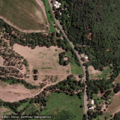
Río Osma
Explore Salta waters
Top paddling waters
No waters available right now.
Popular Cities
Loading popular cities...
Explore near Embalse Campo Alegre

Smarter Paddling Starts in the App.
Paddleways gives you everything you need to plan smarter, paddle better, and own every trip from first launch to takeout.