Río Rosario
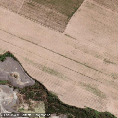
Río Rosario
- Boat Ramps
- 0
- Access Points
- 0
- Campsites
- 0
The Río Rosario is a river in the province of Salta, in northwestern Argentina, forming part of the broader Cuenca del Plata drainage system that ultimately reaches the Atlantic Ocean. The river's watershed covers approximately 4,780 km² and coincides closely with the Departamento Rosario de Lerma, situated in the center-north of the Valle de Lerma — the most densely populated region of Salta province.
The river originates at the Nevado de Chañi at an elevation of 5,896 meters above sea level and descends to approximately 1,170 meters at its mouth near El Carril, giving it a total course of around 210 km. In its upper reaches, the river is known as the Río Toro and flows through the Quebrada del Toro, a section characterized by steep gradients, a rocky channel, and mountainous terrain partially covered in high-altitude steppe vegetation. This upper corridor passes through an area of significant pre-Columbian heritage — the ancient city of Tastil, estimated to have housed around 2,000 inhabitants, is considered the largest pre-Columbian urban settlement in what is now Argentine territory.
Where the gradient eases at the end of the Quebrada del Toro, the river takes on the name Río Rosario. It then passes south of the town of Campo Quijano as it opens into the Valle de Lerma. Major tributaries include the Quebrada de Tastil, the Río Agua Chuya, and the Río Pulares. The mean discharge is 11.7 m³/s, though flows vary considerably by season. The regional climate is monsoonal, meaning rainfall is concentrated almost entirely in the warmer months, producing significantly higher water volumes in summer compared to winter. Paddlers should plan accordingly, as seasonal flow differences can substantially alter the character of the river.
Water access, boat ramps & amenities
Learn how to get on Río Rosario. Uncover great paddling access points, boat ramps, and all the facilities you need for an unforgettable day on the water. Some locations shown may border or include private property. Always check property boundaries and applicable regulations before visiting. PaddleWays's Public & Private Land layer can help you plan your access with confidence.
Paddle smarter with real-time insights
Whether you're en route and conditions shift or you're looking for the best spot based on current flows, we enable you to make informed decisions on the fly.







Salta licenses and regulations

Find Places to Paddle

Over 400,000 Places to Paddle
Every user gets free access to launch points, boat ramps, and public property parcels.


Water and weather conditions (10 day forecast)
See the best times to paddle Río Rosario and check the forecast before you go.
No forecast data available.
Paddling near Río Rosario
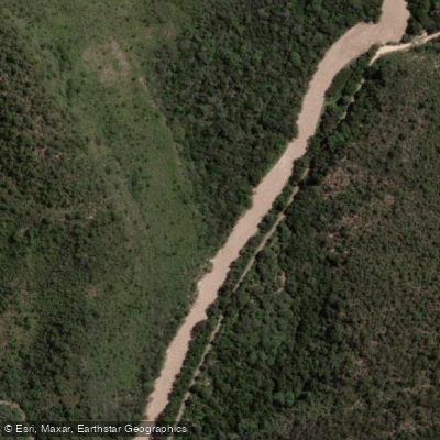
Río Arias o Arenales
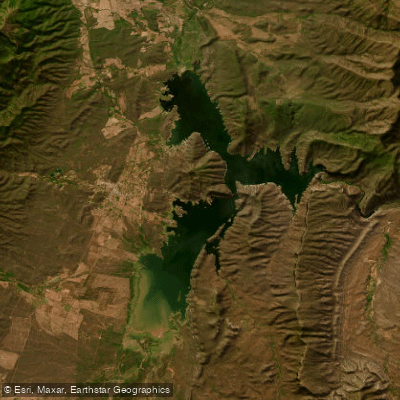
Embalse Cabra Corral
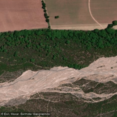
Río Chicoana
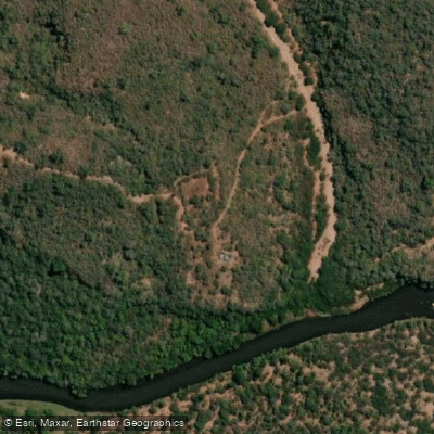
Río Pasaje o Juramento
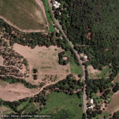
Río Osma
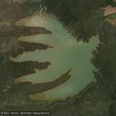
Embalse Las Maderas
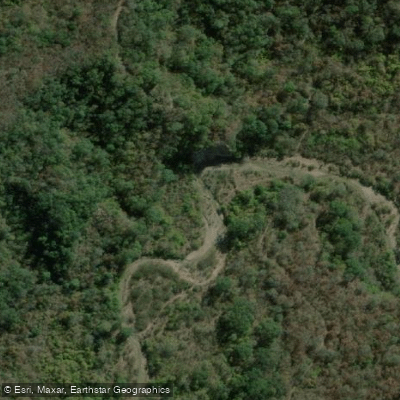
Río Blanco
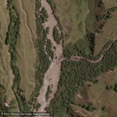
Río Potrero de Castilla
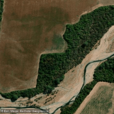
Río de las Conchas
Explore Salta waters
Top paddling waters
No waters available right now.
Popular Cities
Loading popular cities...
Explore near Río Rosario

Smarter Paddling Starts in the App.
Paddleways gives you everything you need to plan smarter, paddle better, and own every trip from first launch to takeout.