Río Chicoana
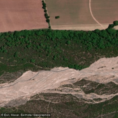
Río Chicoana
- Boat Ramps
- 0
- Access Points
- 0
- Campsites
- 0
Río Chicoana is a 61-kilometer river located in the Valle de Lerma in the Departamento de Chicoana, Salta province, in northwest Argentina. It originates in the Cordillera Oriental and flows through the town of Chicoana before emptying into the Río Rosario, near the point where that river enters the Embalse Cabra Corral. Its drainage basin covers 1,063 km². The river's tributaries include Quebrada La Yesera and the quebrada de Malcante.
Flow on the Río Chicoana is highly seasonal, driven by a monsoon-type climate in which rainfall occurs almost exclusively during the warm months. Gauging at San Gabriel has recorded a mean discharge of 24.4 m³/s, with the monthly average peaking at 71.4 m³/s in February and dropping to a minimum average of 9.4 m³/s in October. Historical peak flows have reached 329 m³/s. Paddlers should be aware that summer months bring dramatically elevated and potentially dangerous water levels, while October represents the low-water period. The lower section of the river has very little gradient and is prone to flooding.
The river passes through the southwest portion of the Valle de Lerma, the most densely populated region of Salta province, and the town of Chicoana sits just south of the river. The surrounding landscape includes the Quebrada de Escoipe, which serves as the northern approach to the Valles Calchaquíes. The area is approximately 47 km from the city of Salta.
Water access, boat ramps & amenities
Learn how to get on Río Chicoana. Uncover great paddling access points, boat ramps, and all the facilities you need for an unforgettable day on the water. Some locations shown may border or include private property. Always check property boundaries and applicable regulations before visiting. PaddleWays's Public & Private Land layer can help you plan your access with confidence.
Paddle smarter with real-time insights
Whether you're en route and conditions shift or you're looking for the best spot based on current flows, we enable you to make informed decisions on the fly.







Salta licenses and regulations

Find Places to Paddle

Over 400,000 Places to Paddle
Every user gets free access to launch points, boat ramps, and public property parcels.


Water and weather conditions (10 day forecast)
See the best times to paddle Río Chicoana and check the forecast before you go.
No forecast data available.
Paddling near Río Chicoana
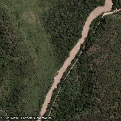
Río Arias o Arenales
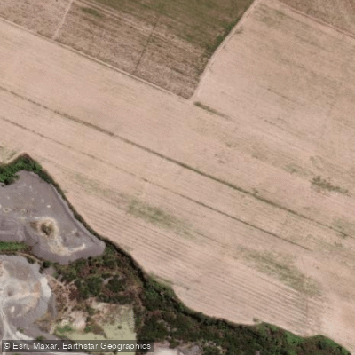
Río Rosario
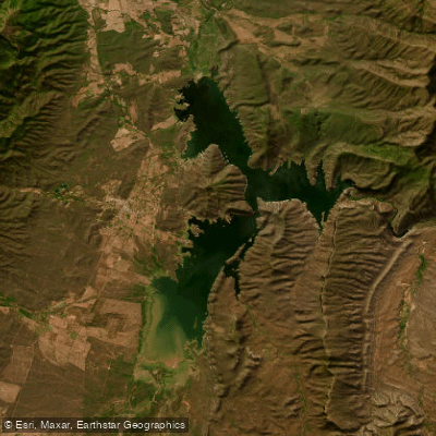
Embalse Cabra Corral
Río Pasaje o Juramento
Río Osma
Embalse Las Maderas
Río Blanco
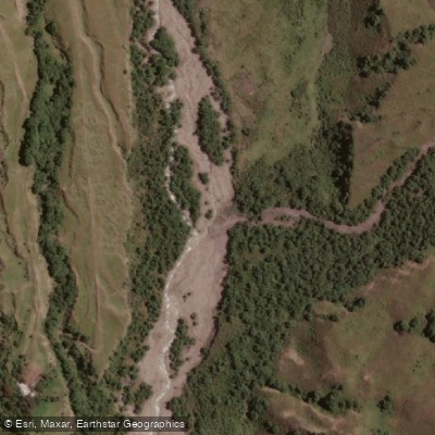
Río Potrero de Castilla
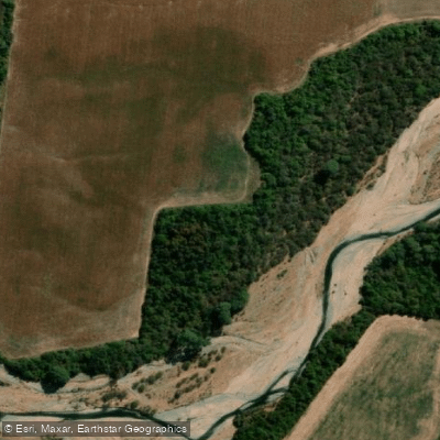
Río de las Conchas
Explore Salta waters
Top paddling waters
No waters available right now.
Popular Cities
Loading popular cities...
Explore near Río Chicoana

Smarter Paddling Starts in the App.
Paddleways gives you everything you need to plan smarter, paddle better, and own every trip from first launch to takeout.