Lago Embalse El Tunal
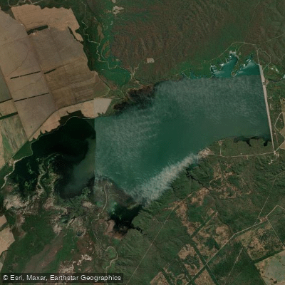
Lago Embalse El Tunal
- Boat Ramps
- 0
- Access Points
- 0
- Campsites
- 0
Embalse El Tunal, also known as Dique El Tunal, is a reservoir located in the Departamento Metán of Salta province in northern Argentina. It sits 184 km from the city of Salta and approximately 80 km from the town of Metán, accessible via Ruta Nacional 16, roughly 6 km west of the Estación El Tunal of the Ferrocarril General Belgrano. The reservoir was inaugurated on April 15, 1972, and its dam is officially named Presa Gral. Martín Miguel de Güemes. The dam stands 41 meters in height. The reservoir's primary functions are hydroelectric power generation and seasonal water regulation, compensating flows from the Embalse de Cabra Corral along the Río Juramento, located 120 km upstream. It feeds irrigation for approximately 62,000 hectares in Salta province and 48,300 hectares in Santiago del Estero province.
The surrounding landscape is characterized by dense subtropical vegetation typical of the monte chaqueño, giving the water a wild, rugged setting. The reservoir is fed by the Río Pasaje, Río Juramento, and Río Salado.
Nautical sports are permitted on the reservoir, and basic facilities for overnight stays and camping are available on site. Fishing is a popular activity, with notable species including dorado, tararira, sábalo, bagre, boga, and pejerrey. However, paddlers and visitors should be aware of specific fishing regulations: fishing is only permitted from the shore and is prohibited from any watercraft. Retaining or killing dorado is also prohibited. The Secretaría de Medio Ambiente of Salta province maintains regular enforcement presence at the site. The reservoir is subject to poaching pressure, which has contributed to variability in fish populations.
The reservoir's coordinates are approximately 25°13′39″S, 64°28′37″W. The water body is owned and operated by AES Corporation as part of the national interconnected power system. Paddlers considering a visit should factor in the remote location and the basic nature of the available facilities, as well as the subtropical climate of the region when planning their trip.
Water access, boat ramps & amenities
Learn how to get on Lago Embalse El Tunal. Uncover great paddling access points, boat ramps, and all the facilities you need for an unforgettable day on the water. Some locations shown may border or include private property. Always check property boundaries and applicable regulations before visiting. PaddleWays's Public & Private Land layer can help you plan your access with confidence.
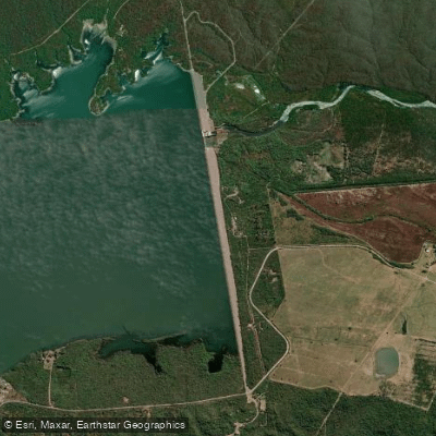
Paddle smarter with real-time insights
Whether you're en route and conditions shift or you're looking for the best spot based on current flows, we enable you to make informed decisions on the fly.







Salta licenses and regulations

Find Places to Paddle

Over 400,000 Places to Paddle
Every user gets free access to launch points, boat ramps, and public property parcels.


Water and weather conditions (10 day forecast)
See the best times to paddle Lago Embalse El Tunal and check the forecast before you go.
No forecast data available.
Paddling near Lago Embalse El Tunal
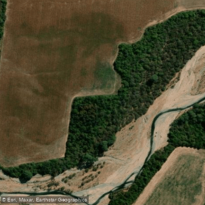
Río de las Conchas
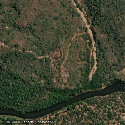
Río Pasaje o Juramento
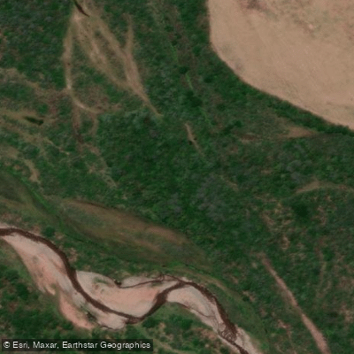
Río Rosario
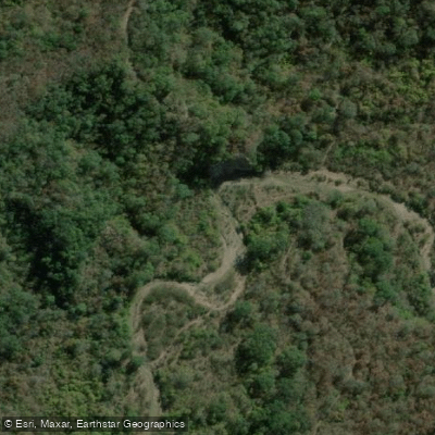
Río Blanco
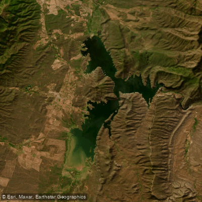
Embalse Cabra Corral
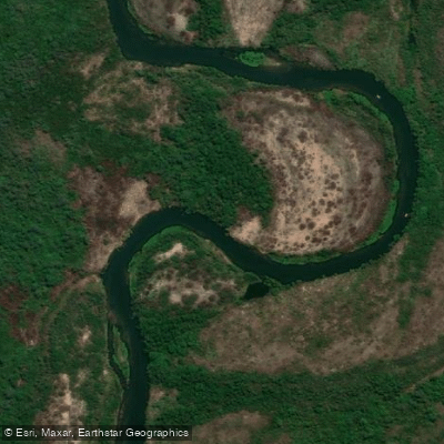
Río Juramento
Río Arias o Arenales
Río Chicoana
Río Castellanos
Explore Salta waters
Top paddling waters
No waters available right now.
Popular Cities
Loading popular cities...
Explore near Lago Embalse El Tunal

Smarter Paddling Starts in the App.
Paddleways gives you everything you need to plan smarter, paddle better, and own every trip from first launch to takeout.