Río de las Conchas
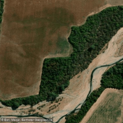
Río de las Conchas
- Boat Ramps
- 0
- Access Points
- 0
- Campsites
- 0
The Río de las Conchas is a river in the province of Salta, Argentina, flowing through the dramatic landscape of the Quebrada de las Conchas canyon. This canyon, also known as the Quebrada del Río de las Conchas, is approximately 75 kilometers long and begins roughly 15 kilometers northeast of the town of Cafayate, where the Calchaquí and Santa María rivers converge to form the Río de las Conchas. The river and its canyon are a major feature along the famous Ruta Nacional 68, a scenic route connecting Salta and Cafayate. Paddling access points and facilities for kayaking and canoeing are available, though specific put-in and take-out locations are not detailed. The overall character of the paddling experience is defined by the surrounding geological formations, which create an awe-inspiring and visually striking environment. The river flows through a region of significant natural beauty, characterized by colorful rock formations and a desert-like canyon ambiance. While paddling is an activity here, the area is primarily emphasized as a destination for scenic drives and tours, with excursions from Salta often including stops at the Quebrada. The road through the canyon is noted for its gravel sections, potholes, and numerous turns, which can impact land-based access for paddlers. The best seasons for activities and specific details on water temperature, flow, hazards, or regulations for paddlers are not explicitly covered.
Water access, boat ramps & amenities
Learn how to get on Río de las Conchas. Uncover great paddling access points, boat ramps, and all the facilities you need for an unforgettable day on the water. Some locations shown may border or include private property. Always check property boundaries and applicable regulations before visiting. PaddleWays's Public & Private Land layer can help you plan your access with confidence.
Paddle smarter with real-time insights
Whether you're en route and conditions shift or you're looking for the best spot based on current flows, we enable you to make informed decisions on the fly.







Salta licenses and regulations

Find Places to Paddle

Over 400,000 Places to Paddle
Every user gets free access to launch points, boat ramps, and public property parcels.


Water and weather conditions (10 day forecast)
See the best times to paddle Río de las Conchas and check the forecast before you go.
No forecast data available.
Paddling near Río de las Conchas
Río Pasaje o Juramento
Río Rosario
Río Blanco
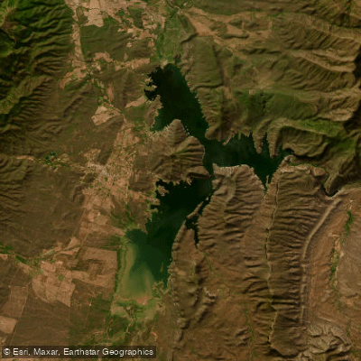
Embalse Cabra Corral
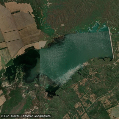
Lago Embalse El Tunal
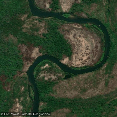
Río Juramento
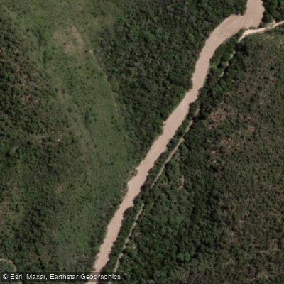
Río Arias o Arenales
Río Chicoana
Río Castellanos
Explore Salta waters
Top paddling waters
No waters available right now.
Popular Cities
Loading popular cities...
Explore near Río de las Conchas

Smarter Paddling Starts in the App.
Paddleways gives you everything you need to plan smarter, paddle better, and own every trip from first launch to takeout.