Río Brealito
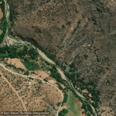
Río Brealito
- Boat Ramps
- 0
- Access Points
- 0
- Campsites
- 0
The Río Brealito is located in the province of Salta, Argentina, specifically within the area of Monte Grande in Seclantás. The river's primary access point is from the Paraje Seclantás Adentro in Monte Grande, which is approximately 7 kilometers from the main plaza of Seclantás. This provides a clear reference point for paddlers navigating to the put-in. The surrounding landscape is part of the Calchaquí Valleys region, characterized by its arid, mountainous terrain which shapes the river's course and aesthetic. The river itself is a typical watercourse of this high-altitude desert, with flows that are heavily dependent on seasonal rainfall and snowmelt from the surrounding mountains. This results in significant seasonal variation in water levels, with the most reliable flows typically occurring during the late spring and summer months, from November through March, when precipitation and meltwater increase. Paddlers should be prepared for potentially low and technical flows outside of this period, as well as for the strong sun and exposed conditions common to the region. The area is remote, with limited immediate facilities, so paddlers must be self-sufficient, carrying all necessary water, food, and safety equipment. The river's setting offers views of the dramatic, rugged geography of the Monte Grande area, with sparse vegetation and expansive skies defining the experience. There is no specific information available regarding designated take-out points, water temperature averages, water quality issues, paddling-specific regulations, or recommended routes, indicating that detailed trip planning requires local knowledge or further reconnaissance.
Water access, boat ramps & amenities
Learn how to get on Río Brealito. Uncover great paddling access points, boat ramps, and all the facilities you need for an unforgettable day on the water. Some locations shown may border or include private property. Always check property boundaries and applicable regulations before visiting. PaddleWays's Public & Private Land layer can help you plan your access with confidence.
Paddle smarter with real-time insights
Whether you're en route and conditions shift or you're looking for the best spot based on current flows, we enable you to make informed decisions on the fly.







Salta licenses and regulations

Find Places to Paddle

Over 400,000 Places to Paddle
Every user gets free access to launch points, boat ramps, and public property parcels.


Water and weather conditions (10 day forecast)
See the best times to paddle Río Brealito and check the forecast before you go.
No forecast data available.
Paddling near Río Brealito
Río Rosario
Río Chicoana
Río Arias o Arenales
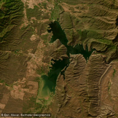
Embalse Cabra Corral
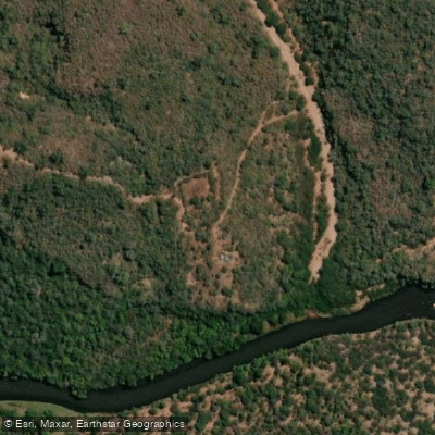
Río Pasaje o Juramento
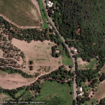
Río Osma
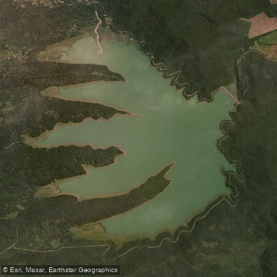
Embalse Las Maderas
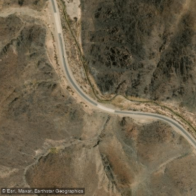
Arroyo Tastil
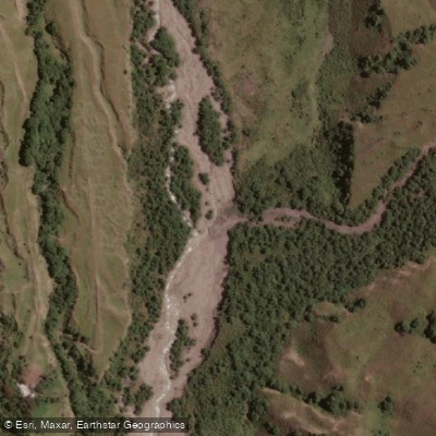
Río Potrero de Castilla
Explore Salta waters
Top paddling waters
No waters available right now.
Popular Cities
Loading popular cities...
Explore near Río Brealito

Smarter Paddling Starts in the App.
Paddleways gives you everything you need to plan smarter, paddle better, and own every trip from first launch to takeout.