Bahía Concordia
- Saltwater
- Bay
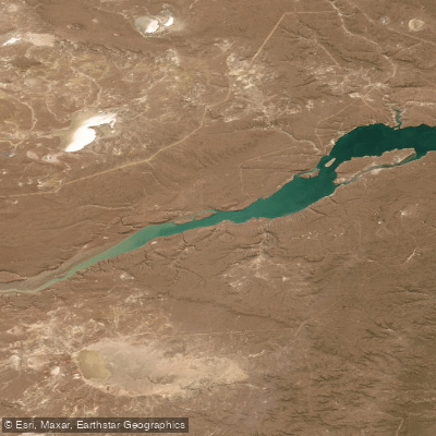
Bahía Concordia
- Saltwater
- Bay
- Sq. miles
- 12
- Boat Ramps
- 0
- Access Points
- 0
- Campsites
- 0
Bahía Concordia is a coastal bay forming part of the Ría Deseado estuary system in the province of Santa Cruz, Patagonia, Argentina. It is located approximately 42 kilometers upriver from the port town of Puerto Deseado. The bay marks the transition point where the Ría Deseado meets the Río Deseado, and this confluence is a potential launch or take-out point for paddlers. The bay's northern shore is characterized by solid rock cliffs, flooded canyons, and wave-cut abrasion platforms, while the southern coast is more gently sloped. This geography suggests significant exposure to wind and waves, particularly from the north, which can create challenging conditions and fetch across the open water. The bay is subject to tidal influence, with a typical tidal range on the order of several tenths of a meter, as indicated by low tide heights around -0.35 meters. Paddlers must plan around these tides, as the water level can fall significantly, potentially affecting access and navigation. The area is within a natural reserve, renowned for its clear waters and abundant marine wildlife. Paddlers can expect to encounter Commerson's dolphins, locally known as toninas, as well as sea lions, cormorants, and, further towards the open sea, colonies of rockhopper penguins. The town of Puerto Deseado, the primary access point for the region, offers services for tourism and water activities, including guided nautical excursions. Given the remote Patagonian location, water temperatures are cold year-round, and conditions are highly susceptible to strong winds, requiring careful planning and self-sufficiency. There is commercial and recreational boat traffic in the broader Ría Deseado, which paddlers must be aware of, especially when crossing channels or near the port.
Water access, boat ramps & amenities
Learn how to get on Bahía Concordia. Uncover great paddling access points, boat ramps, and all the facilities you need for an unforgettable day on the water. Some locations shown may border or include private property. Always check property boundaries and applicable regulations before visiting. PaddleWays's Public & Private Land layer can help you plan your access with confidence.
Paddle smarter with real-time insights
Whether you're en route and conditions shift or you're looking for the best spot based on current flows, we enable you to make informed decisions on the fly.







Santa Cruz licenses and regulations

Find Places to Paddle

Over 400,000 Places to Paddle
Every user gets free access to launch points, boat ramps, and public property parcels.


Tides, wind & water conditions (10 day forecast)
On open water, wind and tide matter as much as the weather. See the best times to paddle Bahía Concordia and check the marine forecast before you launch.
Loading tide predictions…
Paddling near Bahía Concordia
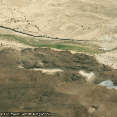
Río Deseado
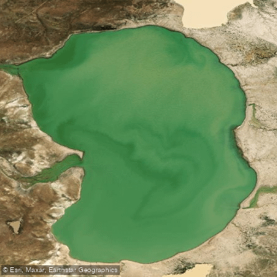
Laguna Verde
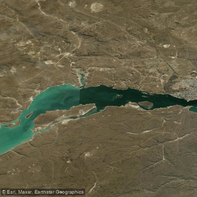
Bahía Uruguay
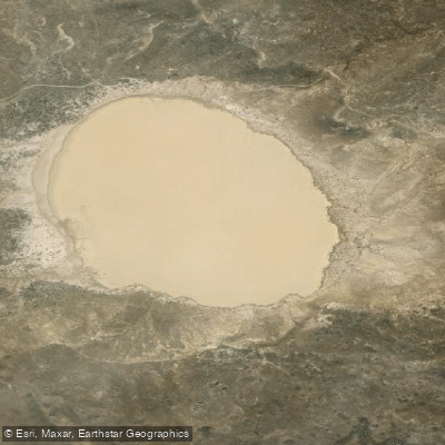
Laguna Blanca
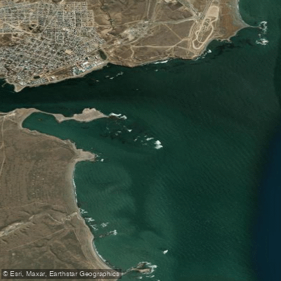
Bahía Magallanes
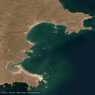
Bahía de los Nodales
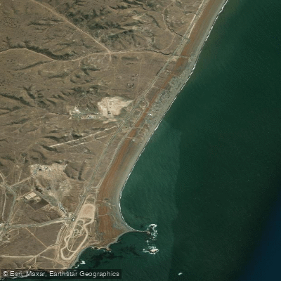
Playa Deseado
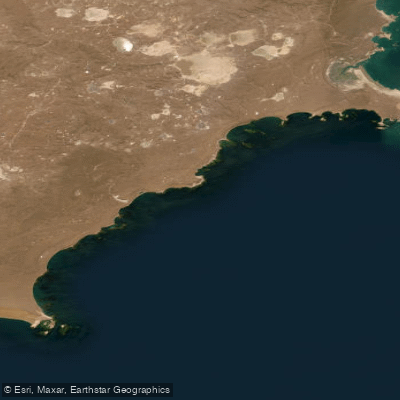
Bahía Desvelos
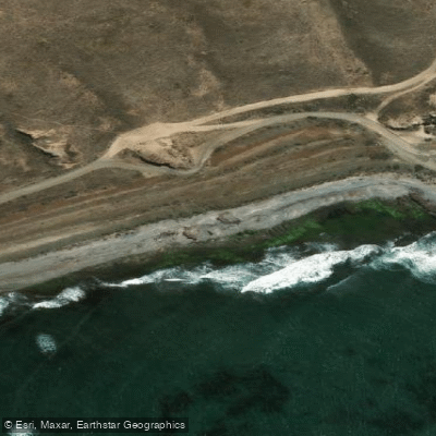
Costa Norte
Explore Santa Cruz waters
Top paddling waters
No waters available right now.
Popular Cities
Loading popular cities...
Explore near Bahía Concordia

Smarter Paddling Starts in the App.
Paddleways gives you everything you need to plan smarter, paddle better, and own every trip from first launch to takeout.