Bahía Desvelos
- Saltwater
- Bay
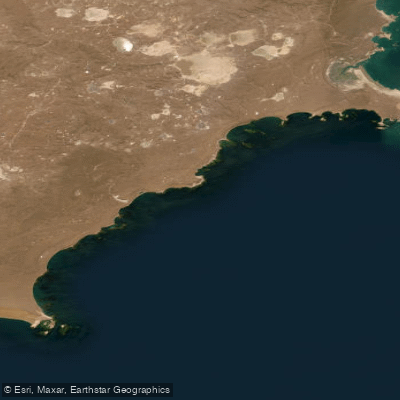
Bahía Desvelos
- Saltwater
- Bay
- Sq. miles
- 92
- Boat Ramps
- 0
- Access Points
- 0
- Campsites
- 0
Bahía Desvelos is a coastal bay on the central-northern coast of Santa Cruz province in Argentina, located approximately 70 kilometers south of Puerto Deseado and 150 kilometers northeast of Puerto San Julián. The bay is geographically defined by the Islote del Cabo to the north and Cabo Guardián to the south. The shoreline within the bay is composed of modern, coarse alluvial sediments, forming extensive beaches of rounded stones, known as rodados. In the southern extreme, near Cabo Guardián, the coast transitions to rocky headlands with numerous rock formations, reefs, and cliffs. This southern area features ignimbritic rock outcrops and a significant number of islets and exposed rocks that become accessible at low tide, such as Isla Rasa Chica. The broader coastline in this region is characterized by a series of capes, points, and promontories of volcanic rock, with coastal ridges of gravels of varying heights. The bay is situated immediately north of the larger Bahía Laura. For paddlers, this indicates a rugged, exposed coastline with a mix of cobble beaches and rocky headlands. The tidal range is significant enough to expose islets and reefs at low water, which must be factored into route planning and timing. The area is remote, with no facilities, amenities, or specific launch points, suggesting a self-sufficient expedition requiring careful logistics. The presence of an unmanned lighthouse on Cabo Guardián, operational since 1928, is a notable landmark. The overall character is one of a wild, geologically dramatic Patagonian coastline with limited human presence.
Water access, boat ramps & amenities
Learn how to get on Bahía Desvelos. Uncover great paddling access points, boat ramps, and all the facilities you need for an unforgettable day on the water. Some locations shown may border or include private property. Always check property boundaries and applicable regulations before visiting. PaddleWays's Public & Private Land layer can help you plan your access with confidence.
Paddle smarter with real-time insights
Whether you're en route and conditions shift or you're looking for the best spot based on current flows, we enable you to make informed decisions on the fly.







Santa Cruz licenses and regulations

Find Places to Paddle

Over 400,000 Places to Paddle
Every user gets free access to launch points, boat ramps, and public property parcels.


Tides, wind & water conditions (10 day forecast)
On open water, wind and tide matter as much as the weather. See the best times to paddle Bahía Desvelos and check the marine forecast before you launch.
Loading tide predictions…
Paddling near Bahía Desvelos
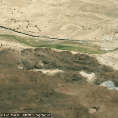
Río Deseado
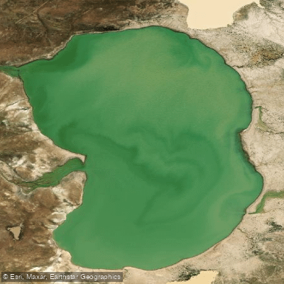
Laguna Verde
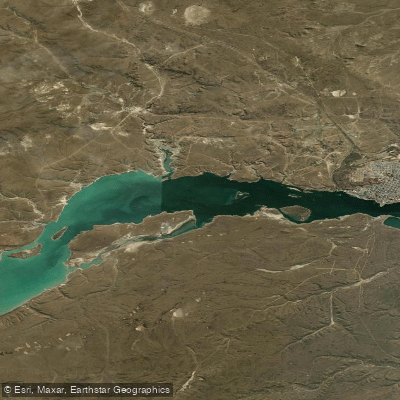
Bahía Uruguay
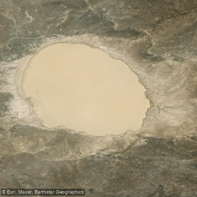
Laguna Blanca
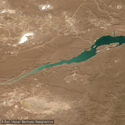
Bahía Concordia
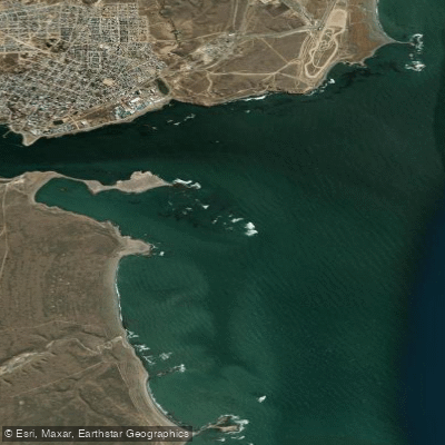
Bahía Magallanes
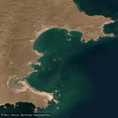
Bahía de los Nodales
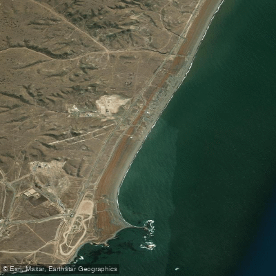
Playa Deseado
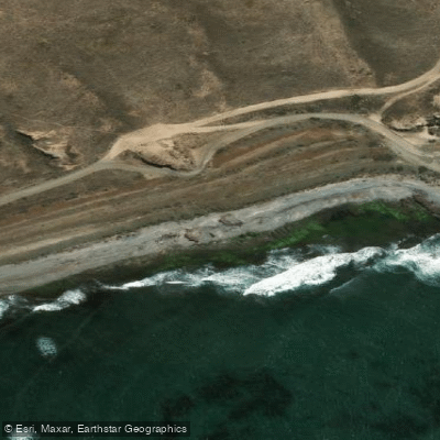
Costa Norte
Explore Santa Cruz waters
Top paddling waters
No waters available right now.
Popular Cities
Loading popular cities...
Explore near Bahía Desvelos

Smarter Paddling Starts in the App.
Paddleways gives you everything you need to plan smarter, paddle better, and own every trip from first launch to takeout.