Culgoa River
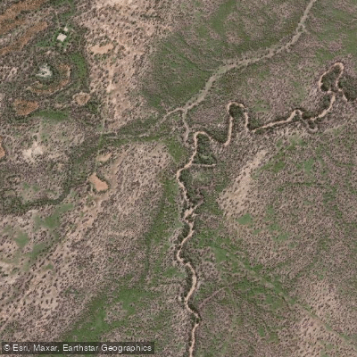
Culgoa River
- Boat Ramps
- 0
- Access Points
- 0
- Campsites
- 1
The Culgoa River is an outback waterway in far northwest New South Wales, forming part of the greater Darling River system. Its confluence with the Barwon River marks the official start of the Darling River, approximately 90 kilometres upstream of Bourke. The river passes through Culgoa National Park, where a designated campground is located in the Burban Grange precinct, providing a base for paddlers exploring this remote stretch.
Flow on the Culgoa is highly variable and is the central planning consideration for any trip. The river can run extremely low, with water channelled over shallow sandy riverbeds that make paddling impractical or impossible. There are at least two weirs on the river that require inspection and likely portaging. Even during periods of reasonable flow, shallow sandbars beneath murky water present ongoing navigation challenges. The river only sees significant flow during or following substantial flood events, and paddlers should check gauge data carefully before committing to a trip, as conditions can change dramatically between planning and launch.
The nearest towns to the Culgoa National Park section are Weilmoringle and Goodooga, neither of which offers fuel. Paddlers must stock up in Bourke or Brewarrina before heading out, and self-sufficiency is essential given the remoteness of the corridor.
Summer temperatures in the region are extreme, with averages reaching nearly 35°C and recorded highs above 46°C, making summer paddling physically demanding and potentially dangerous. Winter offers more moderate conditions, with average highs around 20°C and lows near 6°C, and is generally considered the better season for extended time in the park. Spring can bring wildflower blooms following winter rains. Roads to the campground become boggy after rain, which can affect vehicle access for put-ins and take-outs.
The park and river corridor support abundant wildlife, and birdwatching is noted as particularly rewarding, especially in winter. Paddlers should be aware that road and campground closures can occur, and checking current alerts with NSW National Parks before departure is advisable.
Water access, boat ramps & amenities
Learn how to get on Culgoa River. Uncover great paddling access points, boat ramps, and all the facilities you need for an unforgettable day on the water. Some locations shown may border or include private property. Always check property boundaries and applicable regulations before visiting. PaddleWays's Public & Private Land layer can help you plan your access with confidence.
Paddle smarter with real-time insights
Whether you're en route and conditions shift or you're looking for the best spot based on current flows, we enable you to make informed decisions on the fly.








Find Places to Paddle

Over 400,000 Places to Paddle
Every user gets free access to launch points, boat ramps, and public property parcels.


Water and weather conditions (10 day forecast)
See the best times to paddle Culgoa River and check the forecast before you go.
Culgoa River At D/S Collerina (Kenebree)
All Flow Stations
Paddling near Culgoa River
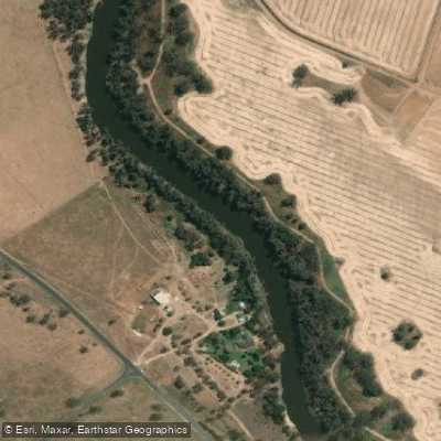
Macquarie River
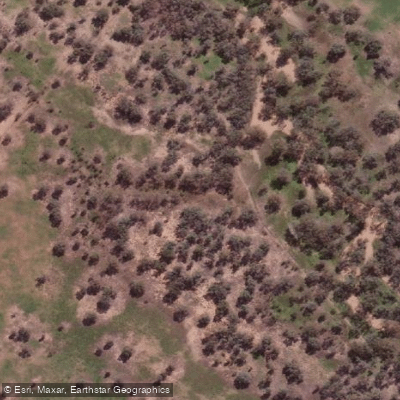
Bogan River
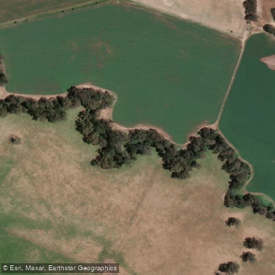
Cudgegong River
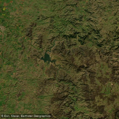
Lake Burrendong
Deep Creek
Branch Creek
Scrubby Creek
Boundary Creek
Crooked Creek
Stony Creek
Explore New South Wales waters
Top paddling waters
No waters available right now.
Popular Cities
Loading popular cities...
Explore near Culgoa River
Access points
Nearby waters
More in New South Wales

Smarter Paddling Starts in the App.
Paddleways gives you everything you need to plan smarter, paddle better, and own every trip from first launch to takeout.