Great Darling Anabranch
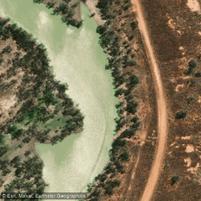
Great Darling Anabranch
- Boat Ramps
- 0
- Access Points
- 0
- Campsites
- 1
The Great Darling Anabranch is the ancestral channel of the Darling River, located in the lower Murray-Darling Basin in western New South Wales. It stretches approximately 460 km from its offtake on the Darling River, roughly 120 km downstream of Menindee, south to its confluence with the Murray River about 30 km downstream of Wentworth. The channel represents the Darling's prior course before it shifted around 11,000 years ago, and the route passes through the Far West and Riverina regions of NSW.
This is a rarely paddled waterway. Known trips include one possibly completed in the mid-1970s, another reported in 2012, multiple runs by Alan Davison in 2022, and a documented expedition in February 2023. The river is only navigable when flows are sufficient — a gauge height of approximately 7.0 m at the Anabranch Offtake is needed to allow entry from the Darling. During the 2023 trip, the Darling was flowing at around 20,000 ML/day with roughly 3,500 ML/day entering the Anabranch. Water levels fall gradually once the flood peak passes, so timing a trip to coincide with a flood peak is essential.
The full route from Menindee to the Murray covers around 570 km total, with the Anabranch section itself approximately 450 km. A 2023 paddler broke the journey into three segments: the Darling from Menindee to the Anabranch Offtake (about 120 km, 3.5 days), the Offtake to Bunnerungee Bridge (261 km channel distance, about 5.5 days), and Bunnerungee Bridge to the Murray (190 km, about 5 days). The 10 Mile Bridge near the Murray confluence is noted as a viable launch or take-out point.
A dominant feature along the route is the Anabranch Lakes system — roughly eight large lakes with diameters of 5–10 km and numerous smaller ones, covering approximately 47,000 hectares. These are deflation basins formed by wind erosion, dry most of the time and only filling during high natural flows. The lakes and surrounding floodplain woodlands are listed in the Directory of Important Wetlands in Australia, covering over 269,000 hectares in total. The upper section passes through black box woodland before opening onto an expansive treeless floodplain. The area carries significant Aboriginal cultural history, with evidence of occupation visible around the lake lunettes.
Water access, boat ramps & amenities
Learn how to get on Great Darling Anabranch. Uncover great paddling access points, boat ramps, and all the facilities you need for an unforgettable day on the water. Some locations shown may border or include private property. Always check property boundaries and applicable regulations before visiting. PaddleWays's Public & Private Land layer can help you plan your access with confidence.
Paddle smarter with real-time insights
Whether you're en route and conditions shift or you're looking for the best spot based on current flows, we enable you to make informed decisions on the fly.








Find Places to Paddle

Over 400,000 Places to Paddle
Every user gets free access to launch points, boat ramps, and public property parcels.


Water and weather conditions (10 day forecast)
See the best times to paddle Great Darling Anabranch and check the forecast before you go.
Great Darling Anabranch At Bulpunga
All Flow Stations
Paddling near Great Darling Anabranch

Murray River
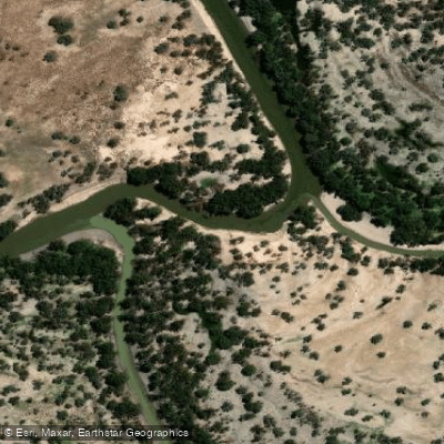
Darling River
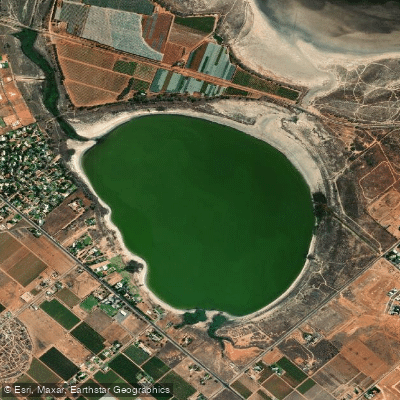
Lake Hawthorn
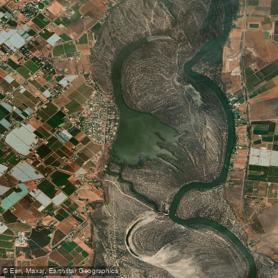
Kings Billabong
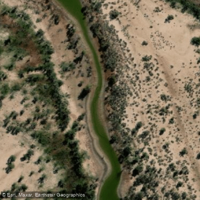
Wallpolla Creek
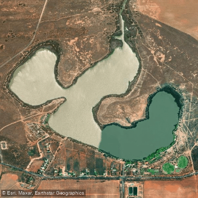
Lake Cullulleraine
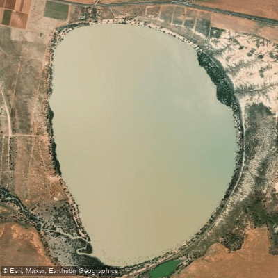
Lake Benanee
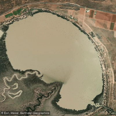
Dry Lake
Potterwalkagee Creek
Explore New South Wales waters
Top paddling waters
No waters available right now.
Popular Cities
Loading popular cities...
Explore near Great Darling Anabranch
Access points
Nearby waters
More in New South Wales

Smarter Paddling Starts in the App.
Paddleways gives you everything you need to plan smarter, paddle better, and own every trip from first launch to takeout.