Potterwalkagee Creek
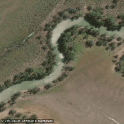
Potterwalkagee Creek
- Boat Ramps
- 0
- Access Points
- 0
- Campsites
- 0
Potterwalkagee Creek is an intermittent watercourse located within the Lindsay, Mulcra, and Wallpolla Islands complex in Victoria, Australia, flowing into the Murray River. It is characterized by a dynamic flow regime, passing through extensive shallow wetlands that create a diverse mosaic of aquatic habitats, including both deep and shallow sections. The creek's course is approximately 20 kilometers long, and its flow is significantly influenced by environmental water management, which can inundate around 800 hectares of floodplain to support the system. This management is part of one of Australia's most significant river restoration projects. The surrounding landscape consists of floodplain wetlands, which provide critical habitat for native species. Notably, the threatened growling grass frog has been recorded along Potterwalkagee Creek on Mulcra Island in previous years. The intermittent nature of the creek means water levels and paddling viability are highly seasonal and dependent on managed environmental flows, rather than consistent rainfall. The area is remote, situated within a managed environmental zone, and lacks specific details on public access points, amenities, or designated paddling routes. Paddlers should be aware that this is a sensitive ecological area with specific water management objectives, and any recreational use must be coordinated with relevant authorities to ensure compliance with environmental protections and to avoid disturbing significant wildlife habitats.
Water access, boat ramps & amenities
Learn how to get on Potterwalkagee Creek. Uncover great paddling access points, boat ramps, and all the facilities you need for an unforgettable day on the water. Some locations shown may border or include private property. Always check property boundaries and applicable regulations before visiting. PaddleWays's Public & Private Land layer can help you plan your access with confidence.
Paddle smarter with real-time insights
Whether you're en route and conditions shift or you're looking for the best spot based on current flows, we enable you to make informed decisions on the fly.








Find Places to Paddle

Over 400,000 Places to Paddle
Every user gets free access to launch points, boat ramps, and public property parcels.


Water and weather conditions (10 day forecast)
See the best times to paddle Potterwalkagee Creek and check the forecast before you go.
No forecast data available.
Paddling near Potterwalkagee Creek

Murray River
Darling River
Great Darling Anabranch
Lake Hawthorn
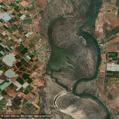
Kings Billabong
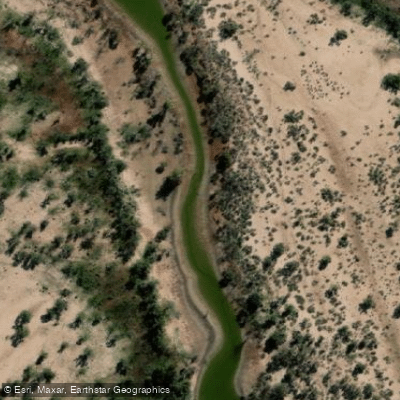
Wallpolla Creek
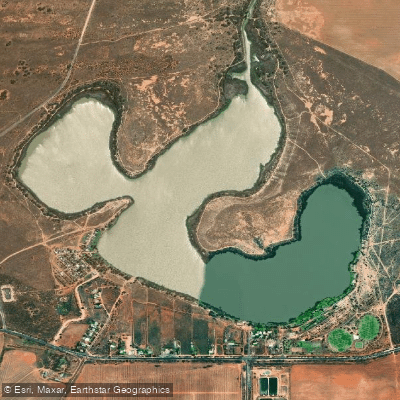
Lake Cullulleraine
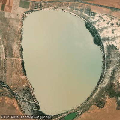
Lake Benanee
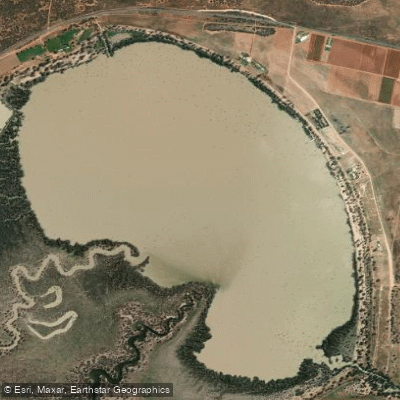
Dry Lake
Explore Victoria waters
Top paddling waters
No waters available right now.
Popular Cities
Loading popular cities...
Explore near Potterwalkagee Creek

Smarter Paddling Starts in the App.
Paddleways gives you everything you need to plan smarter, paddle better, and own every trip from first launch to takeout.