Wallpolla Creek
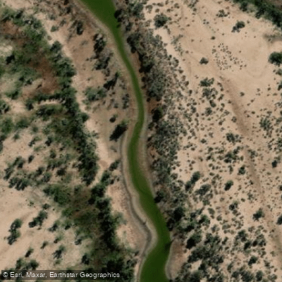
Wallpolla Creek
- Boat Ramps
- 0
- Access Points
- 0
- Campsites
- 1
Wallpolla Creek is a waterway located within the Murray-Sunset National Park in north-west Victoria, downstream of Mildura. It forms part of the Lindsay-Mulcra-Wallpolla Islands floodplain, a network of permanent waterways, small creeks and wetlands covering over 26,100 hectares of Murray River floodplain. The creek connects with Mullaroo Creek and Moorna Creek, offering paddlers the opportunity to complete multi-day loop routes through this extensive floodplain system.
The primary boat ramp near Lock 9 Lodge, from which paddlers head upstream on the Murray River to reach the junction of Mullaroo and Wallpolla Creek. A popular multi-day route covers approximately 53 kilometres over three days, beginning at the Lock 9 boat ramp, heading upstream to the creek mouths, then travelling down Mullaroo Creek before rejoining Wallpolla Creek and eventually entering Moorna Creek before returning to the Murray River. A shorter overnight loop of around 15 kilometres is also possible, taking in Mullaroo Creek, a section of Wallpolla Creek, and Moorna Creek before returning to the Murray.
Moorna Creek, which connects with Wallpolla Creek, is notably tight and technical, requiring paddlers to navigate through fallen trees and debris, duck under obstacles, and portage in places. The longer three-day trip involves up to five portages on the final day. Paddlers should be prepared for this kind of low-clearance, obstacle-heavy navigation in the narrower creek sections.
Notable features along the route include a large canoe tree standing in the water along Mullaroo Creek, ancient red gums, river cliffs, and historic bridges encountered within Moorna Creek. The area supports significant wildlife, including wedge-tailed eagles and diverse birdlife. The floodplain is also recognised as an important habitat for native fish, frogs, turtles and waterbirds.
The route is used for educational outdoor expeditions, including multi-day school canoe trips, suggesting it is accessible to paddlers with moderate experience. Campsites are available along the route, with one reported at approximately 18 kilometres from the start and another around 20 kilometres into the second day.
Water access, boat ramps & amenities
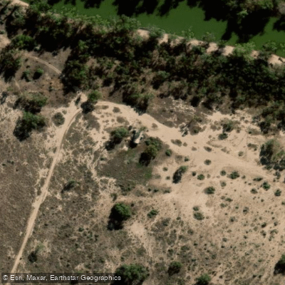
Learn how to get on Wallpolla Creek. Uncover great paddling access points, boat ramps, and all the facilities you need for an unforgettable day on the water. Some locations shown may border or include private property. Always check property boundaries and applicable regulations before visiting. PaddleWays's Public & Private Land layer can help you plan your access with confidence.
Paddle smarter with real-time insights
Whether you're en route and conditions shift or you're looking for the best spot based on current flows, we enable you to make informed decisions on the fly.








Find Places to Paddle

Over 400,000 Places to Paddle
Every user gets free access to launch points, boat ramps, and public property parcels.


Water and weather conditions (10 day forecast)
See the best times to paddle Wallpolla Creek and check the forecast before you go.
No forecast data available.
Paddling near Wallpolla Creek

Murray River
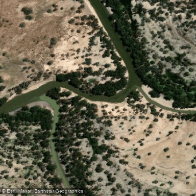
Darling River
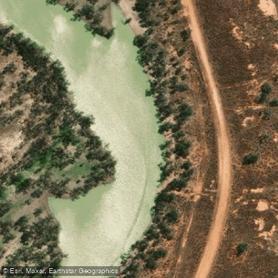
Great Darling Anabranch
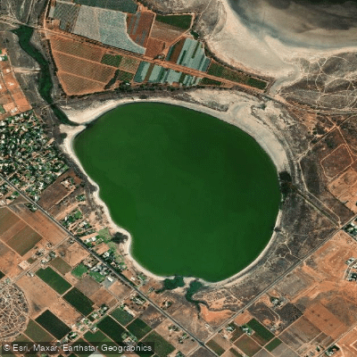
Lake Hawthorn
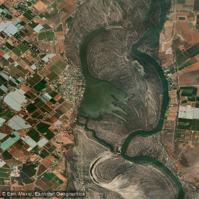
Kings Billabong
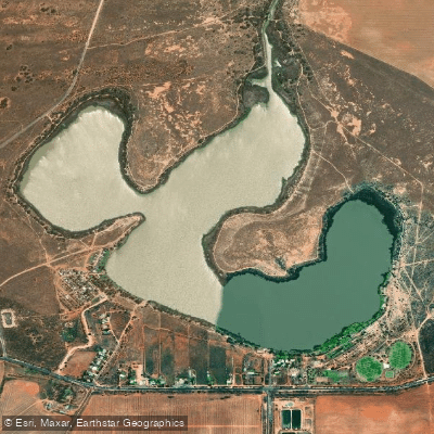
Lake Cullulleraine
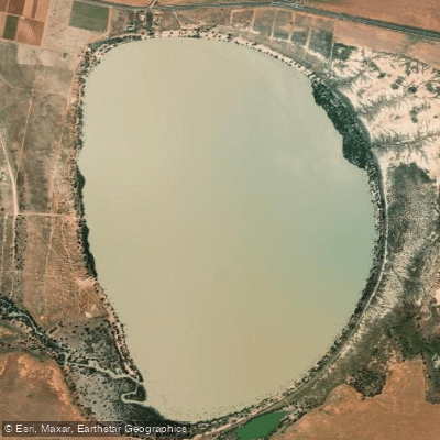
Lake Benanee
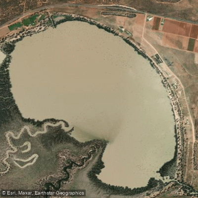
Dry Lake
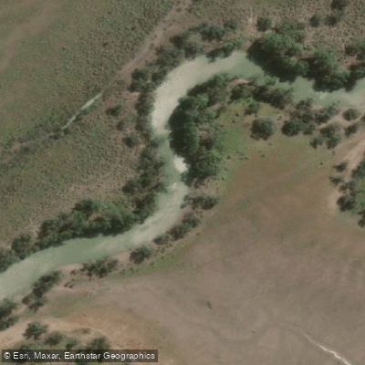
Potterwalkagee Creek
Explore Victoria waters
Top paddling waters
No waters available right now.
Popular Cities
Loading popular cities...
Explore near Wallpolla Creek
Access points
Nearby waters
More in Victoria

Smarter Paddling Starts in the App.
Paddleways gives you everything you need to plan smarter, paddle better, and own every trip from first launch to takeout.