Lachlan River
Lachlan River
- Boat Ramps
- 1
- Access Points
- 0
- Campsites
- 14
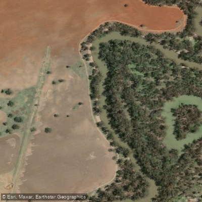
The Lachlan River is located in New South Wales, Australia, rising on the Breadalbane Plain between Yass and Goulburn on the Great Dividing Range and running westward through central New South Wales before ending at the Great Cumbung Swamp. It is among the longest rivers in Australia, measuring approximately 1,553 kilometres. In times of high flow, water continues southwards through the swamp to reach the floodwaters of the Murrumbidgee River. The river is part of the Murray–Darling Basin and passes through agricultural country irrigated for fruit, vegetables, cotton, rice, and cereal grains.
For paddlers, the river offers a peaceful, wildlife-rich experience characterised by birdlife, riverside vegetation, and encounters with fauna along the banks. The lower sections in particular are known for fallen trees and snags that create significant obstacles, requiring frequent portages or careful navigation. Boggy conditions at some access points, such as Kiacatoo Weir, can make launching difficult when wet.
A number of weirs punctuate the river along its course, including at Condobolin, Micabil, Kiacatoo, Booberoi, and Lake Cargelligo. Paddlers should plan for portages at these structures. The river is divided into recognised paddling sections, including a Forbes to Condobolin stretch and a Condobolin to Euabalong stretch.
Access points are numerous and well-documented. Key put-in and take-out locations include the area below Wyangala Dam wall, Darby Falls Bridge, Cowra township, Forbes (at the Railway Bridge, Old Weir, and Cottons Weir), Jemalong Weir, Bedgerebong (Straneys Bridge), Condobolin Weir (located behind the Riverview Caravan Park, accessible with park management approval), and Memorial Park Condobolin. Further downstream, access is available at Kiacatoo Weir via Kiacatoo Road from Condobolin, and at Euabalong via a track before the bridge on the Lachlan River road. At Hillston, a boat ramp alongside Jacksons Bridge also provides river access and serves as a free camping area.
The river is regulated, and water levels are influenced by dam releases and irrigation demands, which can affect paddling conditions. The lower Lachlan is notably more challenging due to dense fallen timber and weed growth. Paddlers undertaking longer journeys should be prepared for remote conditions, limited infrastructure, and variable water levels.
Water access, boat ramps & amenities
Learn how to get on Lachlan River. Uncover great paddling access points, boat ramps, and all the facilities you need for an unforgettable day on the water. Some locations shown may border or include private property. Always check property boundaries and applicable regulations before visiting. PaddleWays's Public & Private Land layer can help you plan your access with confidence.
Paddle smarter with real-time insights
Whether you're en route and conditions shift or you're looking for the best spot based on current flows, we enable you to make informed decisions on the fly.








Find Places to Paddle

Over 400,000 Places to Paddle
Every user gets free access to launch points, boat ramps, and public property parcels.


Water and weather conditions (10 day forecast)
See the best times to paddle Lachlan River and check the forecast before you go.
Lachlan River At Cowra
All Flow Stations
Paddling near Lachlan River
Macquarie River
Bogan River
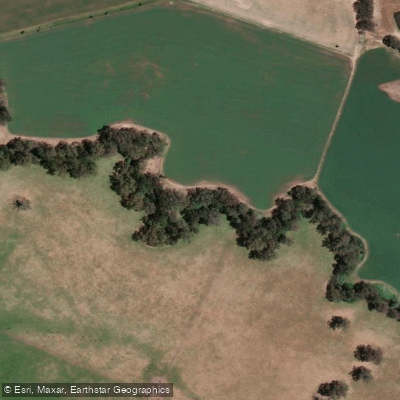
Cudgegong River
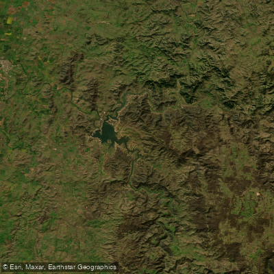
Lake Burrendong
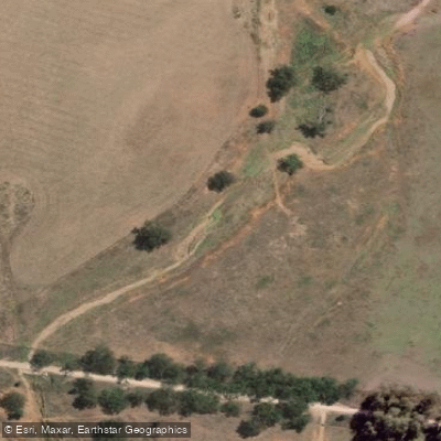
Deep Creek
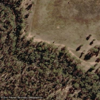
Branch Creek
Scrubby Creek
Boundary Creek
Crooked Creek
Stony Creek
Explore New South Wales waters
Top paddling waters
No waters available right now.
Popular Cities
Loading popular cities...
Explore near Lachlan River
Access points
Nearby waters
More in New South Wales

Smarter Paddling Starts in the App.
Paddleways gives you everything you need to plan smarter, paddle better, and own every trip from first launch to takeout.