Port Stephens
- Saltwater
- Estuary
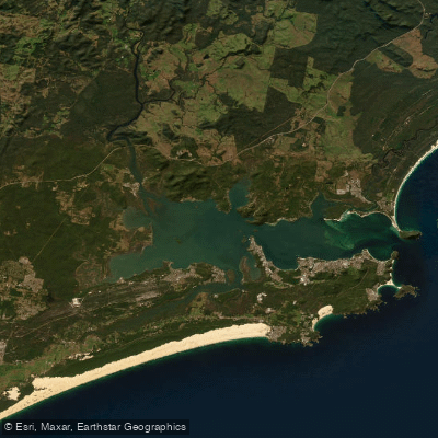
Port Stephens
- Saltwater
- Estuary
- Sq. miles
- 58
- Boat Ramps
- 11
- Access Points
- 1
- Campsites
- 2
Port Stephens is a large coastal estuary located north of Sydney in New South Wales, Australia. It is characterized by a wide, sheltered bay opening to the Tasman Sea, flanked by numerous coastal villages and over 26 beaches. For paddlers, the estuary offers a mix of protected bays and more exposed areas near the ocean entrance. The water body is saltwater and tidal, requiring paddlers to plan around tidal currents, particularly when navigating the narrower sections or crossing the main shipping channels. Numerous public access points are maintained by the local council, providing a variety of launch and take-out options. These include boat ramps and jetties at locations such as Nelson Bay's Little Beach, Soldiers Point, Lemon Tree Passage, Shoal Bay, and Karuah. A specific canoe launch is noted at the Seaham boat ramp on the southern shore. The estuary is a hub for boating activity, so paddlers must remain vigilant for vessel traffic, especially during events like the large Sail Port Stephens regatta held in April and May. The area is known for its marine wildlife, with dolphins commonly seen and seasonal whale migrations observable between May and November. The surrounding landscape features significant sand dunes and national parks. Water temperatures follow seasonal patterns, with summer being the peak season. Paddlers should be aware of potential wind exposure, particularly over longer fetches within the bay, and should check local conditions as the open ocean entrance can experience surf.
Water access, boat ramps & amenities
Learn how to get on Port Stephens. Uncover great paddling access points, boat ramps, and all the facilities you need for an unforgettable day on the water. Some locations shown may border or include private property. Always check property boundaries and applicable regulations before visiting. PaddleWays's Public & Private Land layer can help you plan your access with confidence.
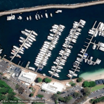
Paddle smarter with real-time insights
Whether you're en route and conditions shift or you're looking for the best spot based on current flows, we enable you to make informed decisions on the fly.








Find Places to Paddle

Over 400,000 Places to Paddle
Every user gets free access to launch points, boat ramps, and public property parcels.


Tides, wind & water conditions (10 day forecast)
On open water, wind and tide matter as much as the weather. See the best times to paddle Port Stephens and check the marine forecast before you launch.
Loading tide predictions…
Paddling near Port Stephens
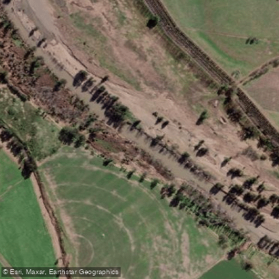
Hunter River
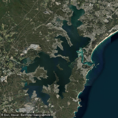
Lake Macquarie
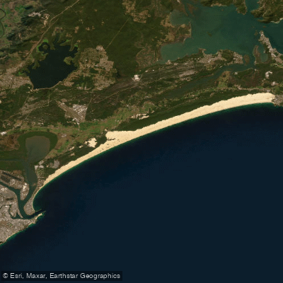
Stockton Beach
Paterson River
Dora Creek
Karuah River
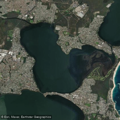
Budgewoi Lake
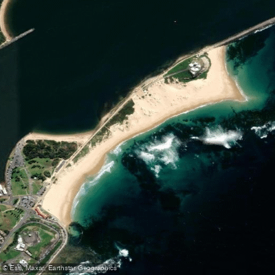
Nobbys Beach
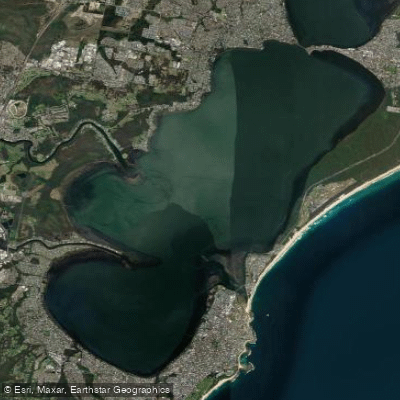
Tuggerah
Explore New South Wales waters
Top paddling waters
No waters available right now.
Popular Cities
Loading popular cities...
Explore near Port Stephens
Access points
Nearby waters
More in New South Wales

Smarter Paddling Starts in the App.
Paddleways gives you everything you need to plan smarter, paddle better, and own every trip from first launch to takeout.