Paterson River
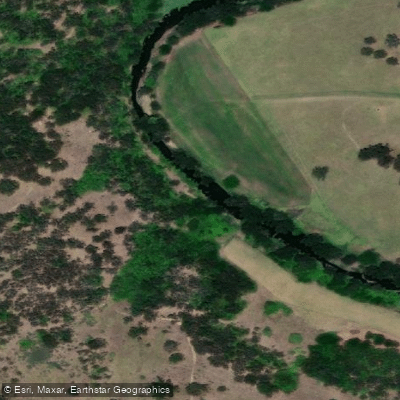
Paterson River
- Boat Ramps
- 0
- Access Points
- 0
- Campsites
- 0
The Paterson River is a perennial river approximately 159 kilometres in length, originating near Careys Peak in the Barrington Tops at an elevation of around 256 metres and flowing through the Hunter and Mid North Coast regions of New South Wales before joining the Hunter River at Hinton. The river passes through the towns of Gresford, Vacy, Paterson, Woodville, and Hinton, and its upper catchment falls within Barrington Tops National Park. The river was named in honour of William Paterson, an early explorer of the region. Major tributaries include the Allyn River and Sheepstation Creek on the left bank, and Boonabilla Creek and Horse Creek on the right.
For paddlers, the lower section from Paterson to Maitland is a well-documented route covering approximately 22 kilometres and rated Grade I throughout, making it suitable for paddlers of most skill levels. The section involves no portages. A boat ramp on Tocal Road, located approximately 1.7 kilometres on the Maitland side of the Paterson Road intersection, serves as a practical launch point for this stretch. There are no amenities at this access point.
The Hunter Valley PaddleSports Club has run organised recreational paddles on the river, including an upstream paddle from the Tocal Road boat ramp with a return distance of approximately 15 kilometres. These club events have required paddlers to wear PFDs, which are compulsory. Participants are advised to bring water, snacks, and lunch given the absence of facilities at the launch site.
Water levels on the river are monitored and publicly available, with gauge readings updated regularly. The river's gradient along the paddled sections is minimal, consistent with its Grade I classification. The river has historical significance in the region, with the surrounding area having supported farming and even shipbuilding activities in earlier periods, reflecting the river's navigable depth in its lower reaches.
Water access, boat ramps & amenities
Learn how to get on Paterson River. Uncover great paddling access points, boat ramps, and all the facilities you need for an unforgettable day on the water. Some locations shown may border or include private property. Always check property boundaries and applicable regulations before visiting. PaddleWays's Public & Private Land layer can help you plan your access with confidence.
Paddle smarter with real-time insights
Whether you're en route and conditions shift or you're looking for the best spot based on current flows, we enable you to make informed decisions on the fly.








Find Places to Paddle

Over 400,000 Places to Paddle
Every user gets free access to launch points, boat ramps, and public property parcels.


Water and weather conditions (10 day forecast)
See the best times to paddle Paterson River and check the forecast before you go.
Paterson River At D/S Lostock Dam
All Flow Stations
Paddling near Paterson River
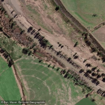
Hunter River
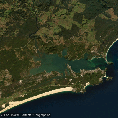
Port Stephens
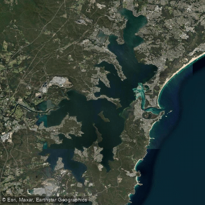
Lake Macquarie
Stony Creek
Stockton Beach
Dora Creek
Karuah River
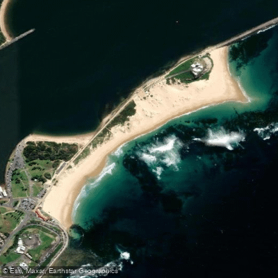
Nobbys Beach
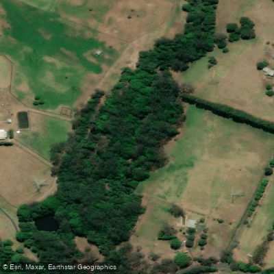
Wyong River
Explore New South Wales waters
Top paddling waters
No waters available right now.
Popular Cities
Loading popular cities...
Explore near Paterson River
Nearby waters
More in New South Wales

Smarter Paddling Starts in the App.
Paddleways gives you everything you need to plan smarter, paddle better, and own every trip from first launch to takeout.