Stockton Beach
- Saltwater
- Beach
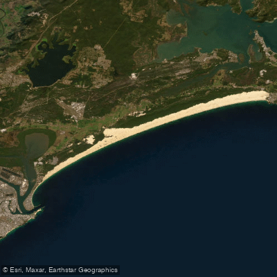
Stockton Beach
- Saltwater
- Beach
- Sq. miles
- 4.7
- Boat Ramps
- 0
- Access Points
- 0
- Campsites
- 1
Stockton Beach is a 32-kilometer stretch of coastline forming part of the Worimi Conservation Lands in Port Stephens. It is characterized by its vast, moving sand dunes, recognized as the largest in the Southern Hemisphere, which tower up to 30-40 meters above the sea. The beach itself presents a long, open expanse of sand facing the Tasman Sea. For paddlers launching from the shore, primary vehicle access points are via Lavis Lane at Williamtown, Gan Gan Road at Anna Bay, and a 4WD entry at Fern Bay. It is important to note that driving on the beach and dunes requires a registered four-wheel-drive vehicle and a valid Worimi Conservation Lands beach vehicle permit, available from local service stations. A specific section of beach at Birubi, left of the Gan Gan 4WD track, is closed to vehicles for public safety, as it adjoins a patrolled swimming area frequented by pedestrians. The beach's open aspect means it is exposed to prevailing winds and ocean swells, and the surf can break along the shore. Paddlers should be prepared for a carry across the sand to the water's edge, with the tidal range in the broader Port Stephens area being a significant 1.86 meters, which can affect the ease of launch and the character of the shore break. Offshore, notable destinations visible or reachable from the beach include Cabbage Tree Island, Little Island, and Boondelbah Island, which form part of the Broughton Island Archipelago to the north. The area holds deep cultural significance for the Worimi Aboriginal people, with the shifting sands continually covering and uncovering ancient cultural sites such as middens, campsites, and burial sites. The surrounding dunes are an active adventure playground for 4WD tours and sandboarding, which can mean vehicle activity near some beach access points.
Water access, boat ramps & amenities
Learn how to get on Stockton Beach. Uncover great paddling access points, boat ramps, and all the facilities you need for an unforgettable day on the water. Some locations shown may border or include private property. Always check property boundaries and applicable regulations before visiting. PaddleWays's Public & Private Land layer can help you plan your access with confidence.
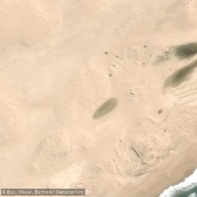
Paddle smarter with real-time insights
Whether you're en route and conditions shift or you're looking for the best spot based on current flows, we enable you to make informed decisions on the fly.








Find Places to Paddle

Over 400,000 Places to Paddle
Every user gets free access to launch points, boat ramps, and public property parcels.


Tides, wind & water conditions (10 day forecast)
On open water, wind and tide matter as much as the weather. See the best times to paddle Stockton Beach and check the marine forecast before you launch.
Loading tide predictions…
Paddling near Stockton Beach
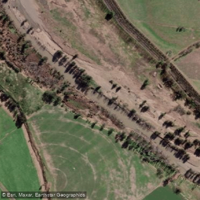
Hunter River
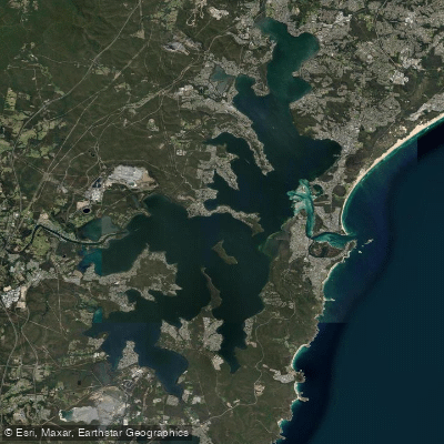
Lake Macquarie
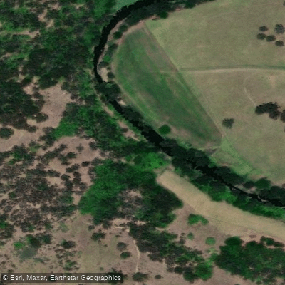
Paterson River
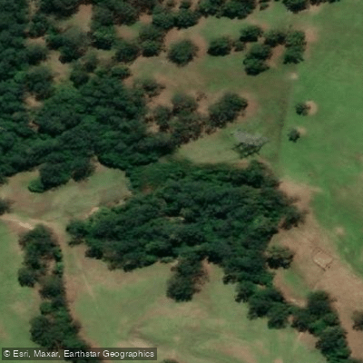
Dora Creek
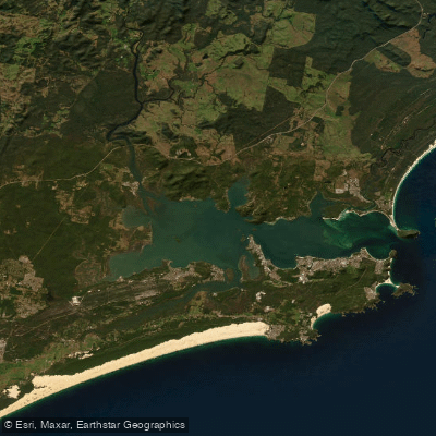
Port Stephens
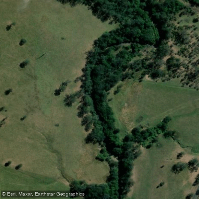
Karuah River
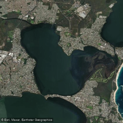
Budgewoi Lake
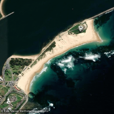
Nobbys Beach
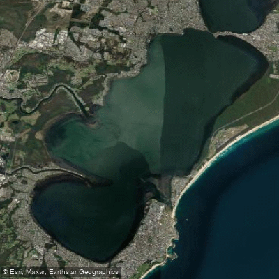
Tuggerah
Explore New South Wales waters
Top paddling waters
No waters available right now.
Popular Cities
Loading popular cities...
Explore near Stockton Beach
Access points
Nearby waters
More in New South Wales

Smarter Paddling Starts in the App.
Paddleways gives you everything you need to plan smarter, paddle better, and own every trip from first launch to takeout.