East Arm
- Saltwater
- Estuary
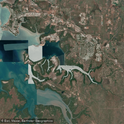
East Arm
- Saltwater
- Estuary
- Sq. miles
- 30
- Boat Ramps
- 1
- Access Points
- 0
- Campsites
- 0
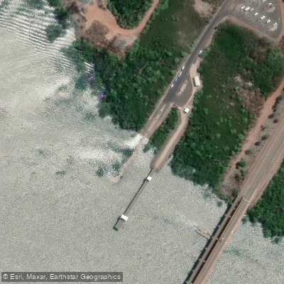
East Arm is a significant industrial marine area within Darwin Harbour, located in the Litchfield Municipality. The primary public access point for paddlers is the East Arm boat ramp located on Casey Street. This ramp has a pontoon, though its outer section is seasonally removed, typically around late November, as part of cyclone preparedness. The ramp is suitable for launching at all tidal states above 2.5 meters. The area is characterized by major port infrastructure, including the Marine Industry Park and the Darwin ship lift facility, indicating significant commercial and defence-related maritime activity. Consequently, paddlers should expect high levels of large ship and barge traffic, making awareness and avoidance of shipping channels a critical safety consideration. The industrial nature of the shoreline defines the aesthetic, with working wharves and logistics facilities rather than natural scenery. Given its location on a tropical coastline, paddling conditions are heavily influenced by tides, wind, and seasonal weather. The southeast wind direction is a noted pattern. The broader region supports activities like kayaking, but the specific environment of East Arm is best suited for experienced paddlers comfortable navigating in a busy, exposed industrial port with substantial vessel traffic and potential for strong winds and tidal currents.
Water access, boat ramps & amenities
Learn how to get on East Arm. Uncover great paddling access points, boat ramps, and all the facilities you need for an unforgettable day on the water. Some locations shown may border or include private property. Always check property boundaries and applicable regulations before visiting. PaddleWays's Public & Private Land layer can help you plan your access with confidence.
Paddle smarter with real-time insights
Whether you're en route and conditions shift or you're looking for the best spot based on current flows, we enable you to make informed decisions on the fly.







Northern Territory licenses and regulations

Find Places to Paddle

Over 400,000 Places to Paddle
Every user gets free access to launch points, boat ramps, and public property parcels.


Tides, wind & water conditions (10 day forecast)
On open water, wind and tide matter as much as the weather. See the best times to paddle East Arm and check the marine forecast before you launch.
Loading tide predictions…
Paddling near East Arm
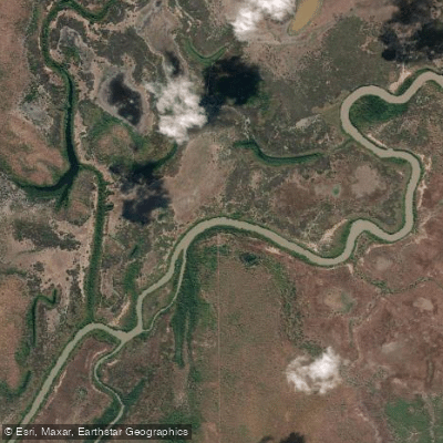
Adelaide River
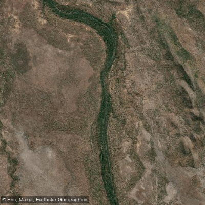
Mary River
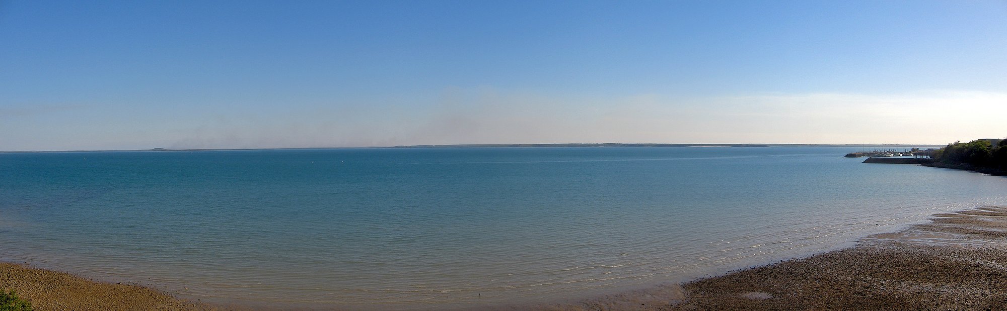
Darwin Harbour
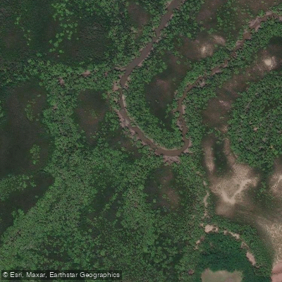
Ludmilla Creek
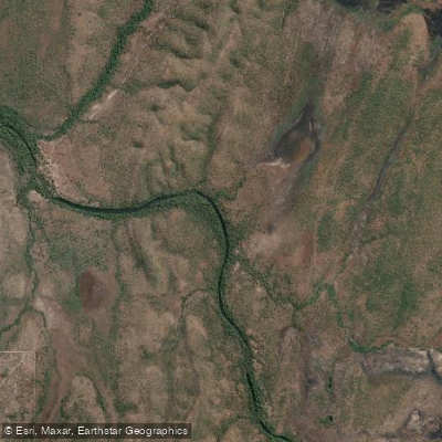
Finnis River
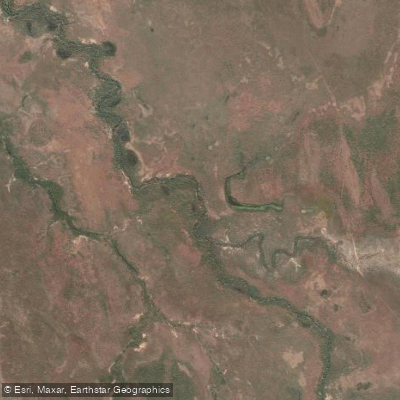
Margaret River
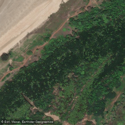
Sandy Creek
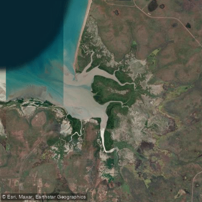
Hope Inlet
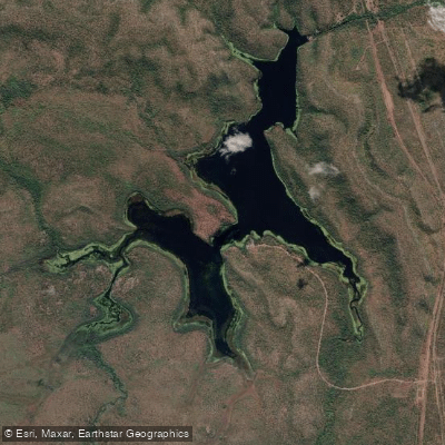
Manton Dam
Explore Northern Territory waters
Top paddling waters
No waters available right now.
Popular Cities
Loading popular cities...
Explore near East Arm
Access points
Nearby waters
More in Northern Territory

Smarter Paddling Starts in the App.
Paddleways gives you everything you need to plan smarter, paddle better, and own every trip from first launch to takeout.