Mary River
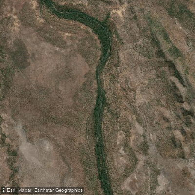
Mary River
- Boat Ramps
- 3
- Access Points
- 0
- Campsites
- 3
The Mary River in the Northern Territory offers a quintessential Top End paddling experience through vast, wildlife-rich wetlands. The primary character is one of a slow-moving, interconnected system of waterways, including the main river channel, lagoons, canals, and billabongs, set within the expansive Mary River National Park. The landscape is dominated by lush paperbark forests and monsoon vine thickets, creating a rich habitat. Paddling here is defined by the presence of a high density of saltwater crocodiles, which are a constant and significant hazard; they are regularly seen, including the famous "jumping crocodiles" on the nearby Adelaide River. This makes extreme caution and adherence to all safety warnings regarding crocodiles an absolute necessity for any water-based activity.
Access points for launching boats and, by extension, paddlecraft, are available at several locations. These include the Mary River Crossing boat ramp off the Arnhem Highway, which offers all-season access, as well as North Rockhole and Shady Camp, both of which have boat ramps and are popular fishing spots. Shady Camp also features a viewing platform for observing crocodiles upstream. The river is located about 110 to 150 kilometres east of Darwin, making it a feasible day trip or a stop en route to Kakadu National Park. The best time for visiting is during the dry season, when birdlife is concentrated at remaining water sources like Fogg Dam Conservation Reserve, where over 250 species can be observed. The wetlands are renowned for world-class barramundi fishing, with fish reaching sizes up to 1.4 meters, which attracts anglers globally. Key sights while on the water include abundant birdlife such as jabiru, brolga, sea eagles, and magpie geese, as well as monitors, wallabies, and introduced water buffalo. The water body's aesthetic is one of a thriving, complex ecosystem; the view from Couzens Lookout is noted for stunning sunsets. Facilities for visitors vary by site but can include picnic areas, toilets, and camping areas where fees apply, such as at Shady Camp and Couzens Lookout. The Mary River is one of eight major Top End rivers with large floodplains, and the Arnhem Highway crosses several of them. The river flows both north and south of this highway through its catchment area.
Water access, boat ramps & amenities
Learn how to get on Mary River. Uncover great paddling access points, boat ramps, and all the facilities you need for an unforgettable day on the water. Some locations shown may border or include private property. Always check property boundaries and applicable regulations before visiting. PaddleWays's Public & Private Land layer can help you plan your access with confidence.
Paddle smarter with real-time insights
Whether you're en route and conditions shift or you're looking for the best spot based on current flows, we enable you to make informed decisions on the fly.







Northern Territory licenses and regulations

Find Places to Paddle

Over 400,000 Places to Paddle
Every user gets free access to launch points, boat ramps, and public property parcels.


Water and weather conditions (10 day forecast)
See the best times to paddle Mary River and check the forecast before you go.
No forecast data available.
Paddling near Mary River
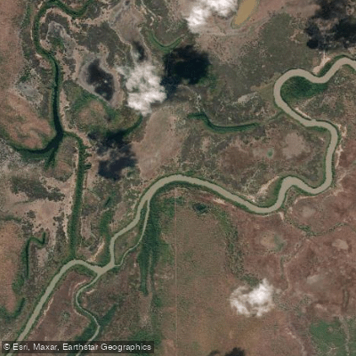
Adelaide River
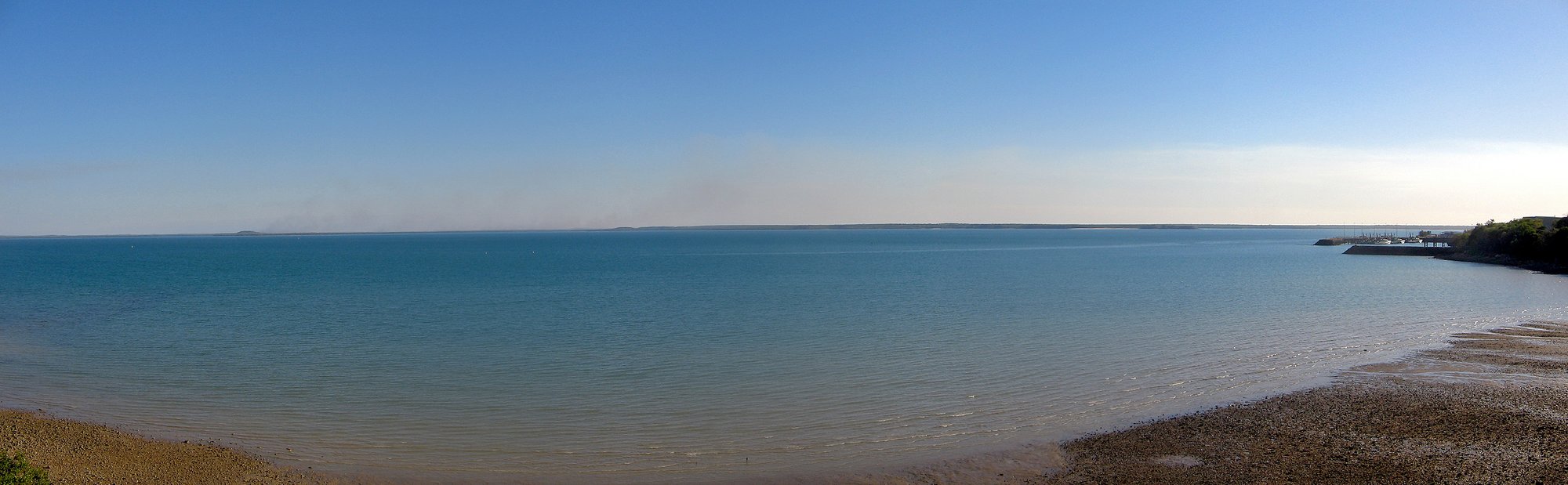
Darwin Harbour
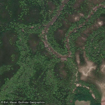
Ludmilla Creek
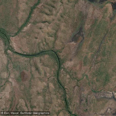
Finnis River
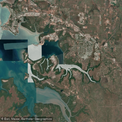
East Arm
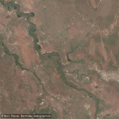
Margaret River
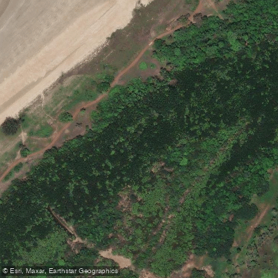
Sandy Creek
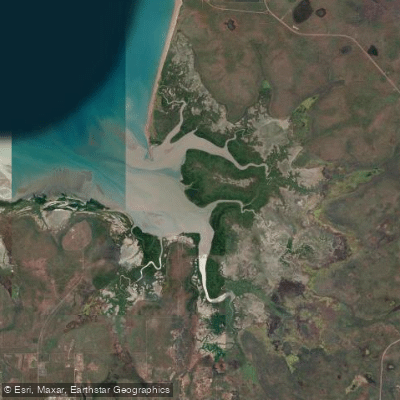
Hope Inlet
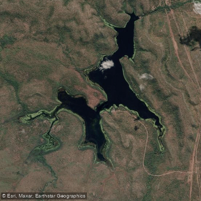
Manton Dam
Explore Northern Territory waters
Top paddling waters
No waters available right now.
Popular Cities
Loading popular cities...
Explore near Mary River
Access points
Nearby waters
More in Northern Territory

Smarter Paddling Starts in the App.
Paddleways gives you everything you need to plan smarter, paddle better, and own every trip from first launch to takeout.