Manton Dam
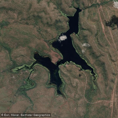
Manton Dam
- Boat Ramps
- 1
- Access Points
- 0
- Campsites
- 0
Manton Dam is a reservoir formed by a decommissioned concrete arch dam on the Manton River, located approximately 70 km south of Darwin in the Northern Territory of Australia. The dam was originally constructed in 1942 to supply drinking water to Darwin and was opened for public recreation in 1989. The reservoir sits within a conservation area managed by Parks and Wildlife NT, surrounded by woodland fringe and varied habitats that support ducks, waders, woodland birds, reptiles, and mammals.
The reservoir is divided into distinct zones that separate different watercraft activities. Canoes and kayaks are directed to the low-speed boat zone, where a speed limit of less than 5 knots applies. This zone operates alongside a dedicated powerboat and water ski zone and a jet-ski zone, so paddlers should be aware of motorised craft activity on the water, particularly on weekends when the area is heavily used. A prohibited access zone exists to protect water quality, and paddlers must observe these boundaries.
Swimming is not recommended due to water quality concerns and the potential presence of saltwater crocodiles. All craft must carry required safety equipment as per the applicable by-laws, which are posted at the boat ramp. The dam wall and spillway area remain closed to the public as an operational zone.
The area is accessible year-round via sealed roads turning west off the Stuart Highway, roughly 70 km south of Darwin. A boat ramp is available for launching. The park is open weekdays from 9am to 5pm and weekends from 8am to 7pm. Picnic areas with barbecues and tables are located in shaded spots throughout the recreation area, and toilet facilities are available. Non-NT residents are required to purchase an NT Parks Visitor Pass before arrival.
The reservoir is stocked with fish species, and the surrounding woodland and water's edge attract a variety of birdlife, making the paddling experience one that combines open water with wildlife observation opportunities. The area holds cultural significance for several Aboriginal language groups including the Larrakia, Limilngan, Wulna, Waray, and Koongurrukun peoples.
Water access, boat ramps & amenities
Learn how to get on Manton Dam. Uncover great paddling access points, boat ramps, and all the facilities you need for an unforgettable day on the water. Some locations shown may border or include private property. Always check property boundaries and applicable regulations before visiting. PaddleWays's Public & Private Land layer can help you plan your access with confidence.
Paddle smarter with real-time insights
Whether you're en route and conditions shift or you're looking for the best spot based on current flows, we enable you to make informed decisions on the fly.







Northern Territory licenses and regulations

Find Places to Paddle

Over 400,000 Places to Paddle
Every user gets free access to launch points, boat ramps, and public property parcels.


Water and weather conditions (10 day forecast)
See the best times to paddle Manton Dam and check the forecast before you go.
No forecast data available.
Paddling near Manton Dam
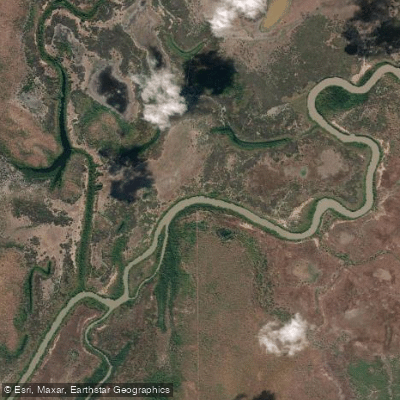
Adelaide River
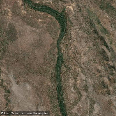
Mary River
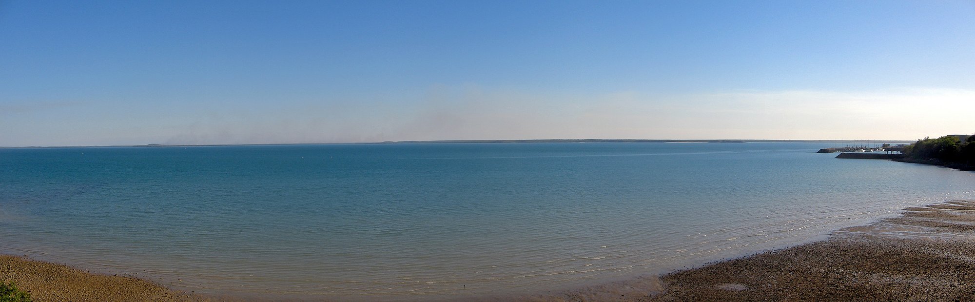
Darwin Harbour
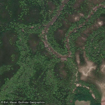
Ludmilla Creek
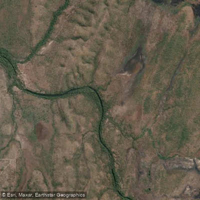
Finnis River
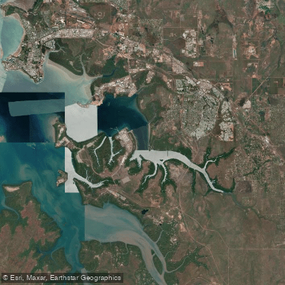
East Arm
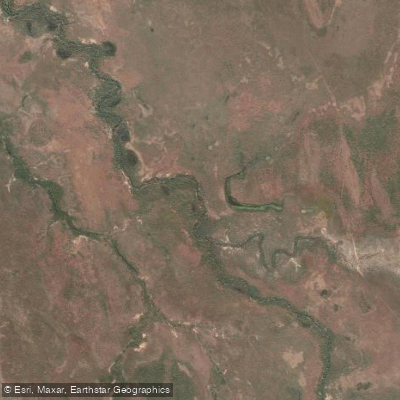
Margaret River
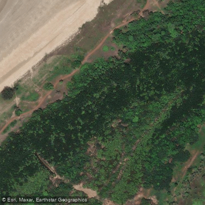
Sandy Creek
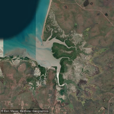
Hope Inlet
Explore Northern Territory waters
Top paddling waters
No waters available right now.
Popular Cities
Loading popular cities...
Explore near Manton Dam
Access points
Nearby waters
More in Northern Territory

Smarter Paddling Starts in the App.
Paddleways gives you everything you need to plan smarter, paddle better, and own every trip from first launch to takeout.