Limmen Bight River
- Saltwater
- Estuary
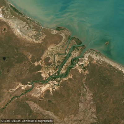
Limmen Bight River
- Saltwater
- Estuary
- Sq. miles
- 130
- Boat Ramps
- 0
- Access Points
- 0
- Campsites
- 0
The Limmen Bight River is a tidal estuary located within Limmen National Park in the remote Roper Gulf Region of Australia's Northern Territory. It is a coastal saltwater feature, with its character defined by the Gulf of Carpentaria's significant tidal movements. The Savannah Way road crosses the river close to where tidal influence is still felt, and this concrete river crossing serves as a primary public access point for paddlers. On a big tide, water floods over this crossing, pushing upstream, indicating a substantial tidal range that dictates paddling conditions. The river provides access to the broader Limmen Bight, a shallow marine bay. The surrounding country includes broad plains and low, rocky sandstone ranges, with the coastline featuring sea, islands, and coastal areas. The region is part of the sea country of the Marra and Yanyuwa peoples, who identify as Saltwater People, and has a history of visitation from Macassan fishermen. For paddlers, key considerations are the strong tidal currents, especially around the narrow rock channel at the road crossing, and the remote, exposed nature of the bight. The Limmen Bight Fishing Camp provides a base with easy access to the river. The park is remote, accessed via four-wheel-drive tracks like the Nathan River Road, and facilities are limited. The water body is part of a marine park, and paddlers must be aware of any zoning regulations that apply. The aesthetic is one of a vast, flat coastal landscape with pandanus-lined creeks in some areas.
Water access, boat ramps & amenities
Learn how to get on Limmen Bight River. Uncover great paddling access points, boat ramps, and all the facilities you need for an unforgettable day on the water. Some locations shown may border or include private property. Always check property boundaries and applicable regulations before visiting. PaddleWays's Public & Private Land layer can help you plan your access with confidence.
Paddle smarter with real-time insights
Whether you're en route and conditions shift or you're looking for the best spot based on current flows, we enable you to make informed decisions on the fly.







Northern Territory licenses and regulations

Find Places to Paddle

Over 400,000 Places to Paddle
Every user gets free access to launch points, boat ramps, and public property parcels.


Tides, wind & water conditions (10 day forecast)
On open water, wind and tide matter as much as the weather. See the best times to paddle Limmen Bight River and check the marine forecast before you launch.
Loading tide predictions…
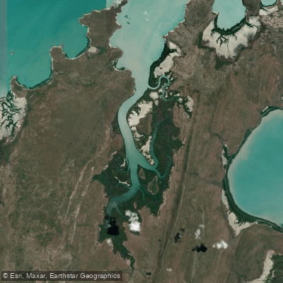
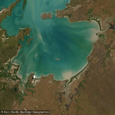
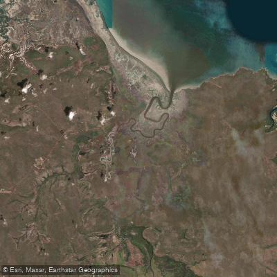
Explore Northern Territory waters
Top paddling waters
No waters available right now.
Popular Cities
Loading popular cities...
Explore near Limmen Bight River
Nearby waters
More in Northern Territory

Smarter Paddling Starts in the App.
Paddleways gives you everything you need to plan smarter, paddle better, and own every trip from first launch to takeout.