Paddling in Barmah National Park
- National Park
- Lakes
- 14
- Rivers
- 19
- Access
- 0
- Boat Ramps
- 0
- Shops
- 0
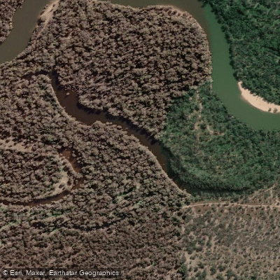
Barmah National Park sits in the floodplain country of northern Victoria, where the Murray River spreads into one of the largest river red gum forests on earth. The water here is slow, flat, and seasonal — shaped by flood pulses rather than gradient.
This is canoe and kayak country, not whitewater country, and the paddling is inseparable from the wetland ecology around it.
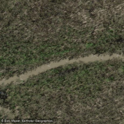
Four marked canoe trails run through the park and the adjoining Murray Valley National Park across the river in New South Wales, all using the Murray and its connected waters as their corridors.
The anchor points are the Barmah Lakes day visitor area and the Murray itself. The longest trail runs 17.
4 km one-way from Picnic Point downstream through the mouth of Barmah Lake to the Barmah Lakes day visitor area — a half-day trip that takes you past Swifts campground and through the transition between open river and floodplain lake.
At the other end of the scale, the short return paddle from the day visitor area down Broken Creek to Rices Bridge covers just 2. 74 km and suits anyone wanting an hour on the water without committing to a longer run.
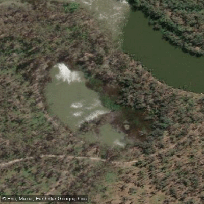
Barmah Lake itself is the heart of the flatwater paddling. A 5. 3 km loop leads upstream from the day visitor area into the lake; a longer variation pushes into the upper reaches where the reeds close in and the open water narrows.
Water levels here respond to Murray flows, so checking conditions before you go is not optional — a low lake reads very differently than a flooded one. The fourth trail runs 11 km one-way downstream from the day visitor area to the town of Barmah.
The wetlands carry Ramsar listing, which signals their international significance and sets the tone for how you move through them. Camping is available within the Dungalla zone along the river.
Check with Parks Victoria for current access conditions and any requirements before launching — water levels in a floodplain system can shift the paddling picture entirely from one season to the next.
The river red gums overhead can reach 45 metres and have been standing for centuries. Paddle quietly and that context lands differently than any trail sign can deliver it.
Top waters to paddle near Barmah National Park

Water and weather conditions (10 day forecast)
See the best times to paddle Barmah National Park and check the forecast before you go.
No forecast data available.
Paddle smarter with real-time insights
Whether you're en route and conditions shift or you're looking for the best spot based on current flows, we enable you to make informed decisions on the fly.







Paddling near Barmah National Park
Loading...
Explore Barmah National Park
Top paddling waters
Popular Cities
Loading popular cities...

Smarter Paddling Starts in the App.
Paddleways gives you everything you need to plan smarter, paddle better, and own every trip from first launch to takeout.