Barmah Lake
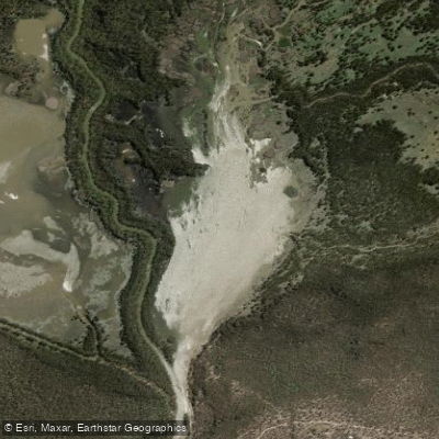
Barmah Lake
- Boat Ramps
- 0
- Access Points
- 0
- Campsites
- 2
Barmah Lake sits within Barmah National Park in Victoria, on the lands of the Yorta Yorta people, adjacent to the Murray River roughly 40 kilometres north of Echuca. The lake is part of a Ramsar-listed wetland system renowned for its river red gum forest and its role as one of Victoria's largest waterbird breeding areas. More than 200 bird species have been recorded in the park, including brolgas, night herons, spoonbills, sea eagles, azure kingfishers, whistling kites, galahs, and cockatoos. The lake's upper reaches are thick with reeds, and the surrounding forest supports kangaroos, koalas, wallabies, emus, and wedge-tailed eagles.
The primary access point for paddling on Barmah Lake is the Barmah Lakes day visitor area, which has a boat ramp, picnic shelter, picnic tables, toilets, carparks, and an information shelter. A floating pontoon with a roller-style canoe and kayak launch, accessible bench seat, handrail, and tethering points at various water levels has been proposed as part of the Murray River Adventure Trail development. Free parking is available at the site. To reach it from Moama via the Cobb Highway, head north approximately 14.5 kilometres on Barmah Road, then turn left onto Moira Lakes Road for about 6.3 kilometres, then left again to the visitor area.
Optimal water levels for Barmah Lake are between 2.2 metres and 2.8 metres; below 1.9 metres conditions become too shallow, and above 3 metres they are considered dangerous. September to April is generally the best time for paddling. The forest floods regularly as part of its natural ecology, and some tracks and camping areas can become inaccessible during and after high water periods, particularly in spring.
Several marked routes use the lake as a focal point. A 5.3-kilometre loop from the Barmah Lakes day visitor area takes approximately one hour and twenty minutes, heading upstream into the lake; a longer variation extends to the reed-thick upper reaches. The 17.4-kilometre one-way trail from Picnic Point passes through the mouth of Barmah Lake on its way downstream. The paddling character is flatwater throughout, with the lake offering calm, enclosed water distinct from the main Murray channel. Sandy beaches along the waterways provide swimming spots, though paddlers should be aware of submerged objects and cold water.
Water access, boat ramps & amenities
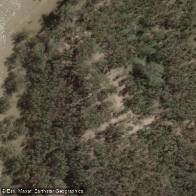
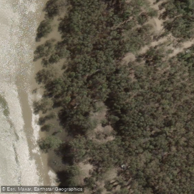
Learn how to get on Barmah Lake. Uncover great paddling access points, boat ramps, and all the facilities you need for an unforgettable day on the water. Some locations shown may border or include private property. Always check property boundaries and applicable regulations before visiting. PaddleWays's Public & Private Land layer can help you plan your access with confidence.
Paddle smarter with real-time insights
Whether you're en route and conditions shift or you're looking for the best spot based on current flows, we enable you to make informed decisions on the fly.








Find Places to Paddle

Over 400,000 Places to Paddle
Every user gets free access to launch points, boat ramps, and public property parcels.


Water and weather conditions (10 day forecast)
See the best times to paddle Barmah Lake and check the forecast before you go.
No forecast data available.
Paddling near Barmah Lake
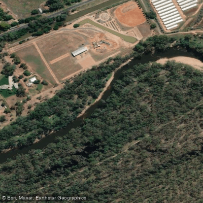
Goulburn River
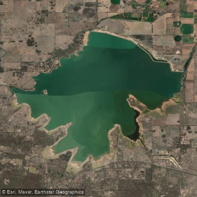
Waranga Basin

Murray River
Holland Creek

Campaspe River
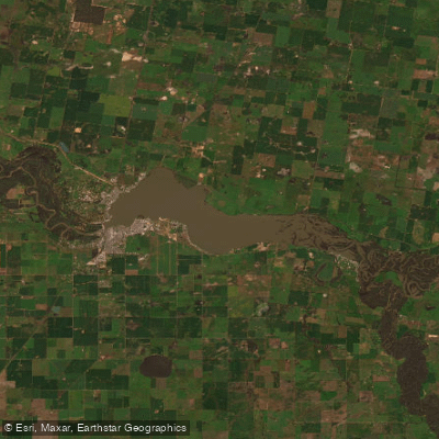
Lake Mulwala
Edward River
Gulpa Creek
Hughes Creek
Ovens River
Explore Victoria waters
Top paddling waters
No waters available right now.
Popular Cities
Loading popular cities...
Explore near Barmah Lake

Smarter Paddling Starts in the App.
Paddleways gives you everything you need to plan smarter, paddle better, and own every trip from first launch to takeout.