Paddling in Culgoa National Park
- National Park
- Lakes
- 6
- Rivers
- 4
- Access
- 0
- Boat Ramps
- 0
- Shops
- 0
Culgoa National Park sits in far north-western New South Wales, hard against the Queensland border, in country that reads unmistakably as outback: red soil, coolabah woodland, river red gums, and wide grassy floodplains.
The water here is not mountain runoff or coastal estuary — it is inland river country, slow and seasonal, where the Culgoa River is the single thread that organises the landscape and the paddling.
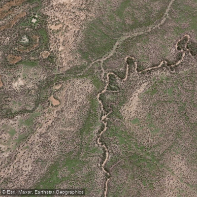
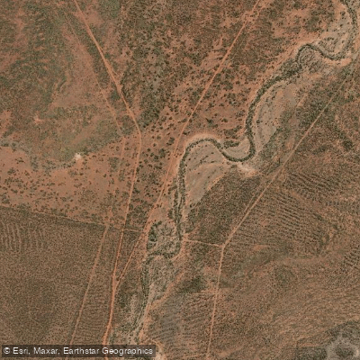
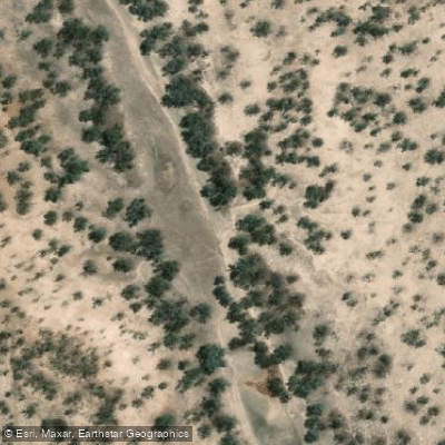
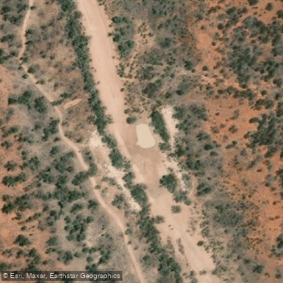
The Culgoa River is the park's one named paddling water, and it demands honesty upfront: it is often dry. Paddling here is contingent on rain, and the window that follows a good wet season is the time to be on the water.
Spring and autumn are noted as the better seasons for visiting the park generally, and those cooler months align with when the river is more likely to be running.
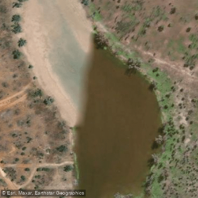
When it does flow, the setting is classic inland river — unhurried flatwater moving through red gum corridors, with billabongs filling the floodplain on either side.
This is not technical water; it is expedition-style touring through remote country, where self-sufficiency matters far more than paddling skill. The Culgoa River Campground sits a short walk from the river and serves as the natural base.
Access to the park is remote, and visitors are expected to arrive fully equipped — food, water, and everything else. The park's isolation is the point, not a footnote.
Paddling inside a national park in NSW means paddling inside a protected landscape with its own rules.
Check current conditions and any requirements with NSW National Parks before launching — what applies on the river outside the park boundary may not be the full picture inside it. The Culgoa is not a river you plan around a flow gauge.
You plan around the season, the rainfall, and a willingness to find the river dry and the floodplain beautiful anyway.
Top waters to paddle near Culgoa National Park
Water and weather conditions (10 day forecast)
See the best times to paddle Culgoa National Park and check the forecast before you go.
No forecast data available.
Paddle smarter with real-time insights
Whether you're en route and conditions shift or you're looking for the best spot based on current flows, we enable you to make informed decisions on the fly.







Paddling near Culgoa National Park
Loading...
Gateway towns
Where to base yourself for paddling in Culgoa National Park.
- BrewarrinaNSW
Nearest town to the park, serving as the main supply stop before the unsealed road into Culgoa.
- WeilmoringleNSW
Small community at the turn-off on the dirt River Road route, the closest settlement to the park's access tracks.
- BourkeNSW
Regional hub with fuel, supplies, and services for visitors heading out on either route to the park.
- GoodoogaNSW
Last stop on the sealed road before the dirt tracks leading into the park's southern access area.
Explore Culgoa National Park
Top paddling waters
Popular Cities
Loading popular cities...

Smarter Paddling Starts in the App.
Paddleways gives you everything you need to plan smarter, paddle better, and own every trip from first launch to takeout.