Paddling in Currawinya National Park
- National Park
- Lakes
- 4
- Rivers
- 20
- Access
- 0
- Boat Ramps
- 0
- Shops
- 0
Currawinya sits in the far southwest corner of Queensland, near the New South Wales border at Hungerford, where the arid outback holds something unexpected: permanent water.
The park's paddling is flatwater and slow-moving — lake surfaces and river reaches in a landscape that is otherwise dry and dusty for much of the year. This is not a whitewater destination. It is a place where the water itself is the event.
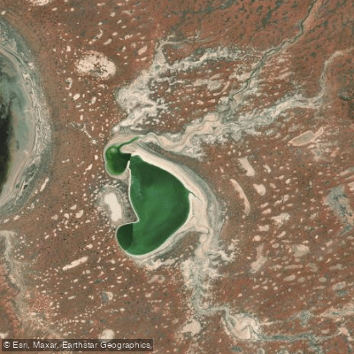
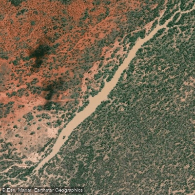
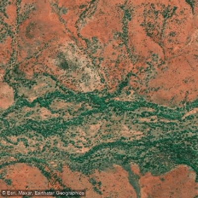
Lake Numalla is the primary paddling water in the park. Fed by floodwaters from the Paroo River, it holds freshwater and is generally permanent — unusual in this part of arid Queensland.
Canoes and kayaks are permitted on the lake, but motorised boats and jet-skis are not, which keeps the surface quiet.
That matters here: the lake and its surrounds are part of a Ramsar-listed wetland complex of international significance, and the waterbird populations it supports are genuinely large.
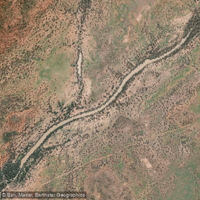
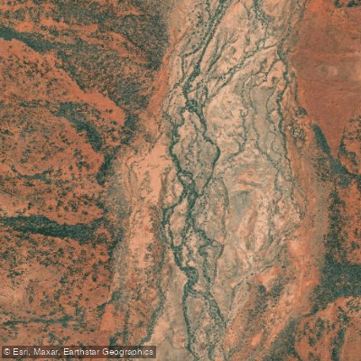
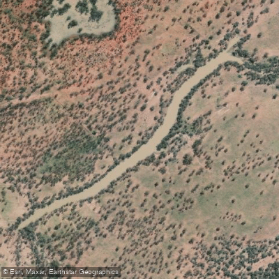
Paddling quietly across Numalla puts you in the middle of that, not watching from a distance. The Paroo River is also open to canoe and kayak travel.
Like the lake it feeds, it moves at the pace of the outback — unhurried, wide, and shaped by flood rather than gradient.
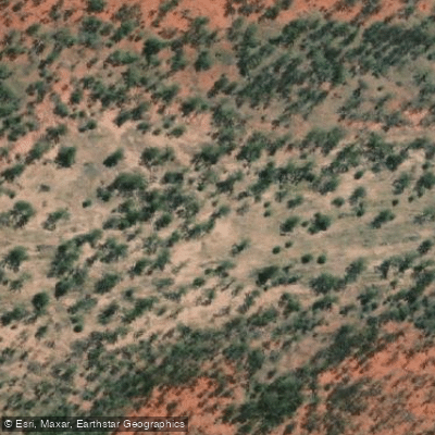
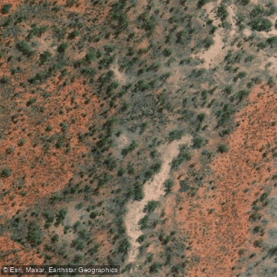
Lake Wyara, the saline lake separated from Numalla by a few kilometres of sand dunes, is not listed as a paddling water; its conditions vary dramatically and it regularly dries to a claypan.
All access roads to the park are unsealed and become impassable when wet, so timing matters well before you reach the water. A 4WD is recommended. Camping requires a permit, and the park is genuinely remote — carry what you need.
Swimming is permitted on Lake Numalla and the Paroo River alongside paddling. The rules here are light but firm: no motors, no jet-skis. The Ramsar listing is not background detail — it is the reason the water is worth paddling at all.
Top waters to paddle near Currawinya National Park
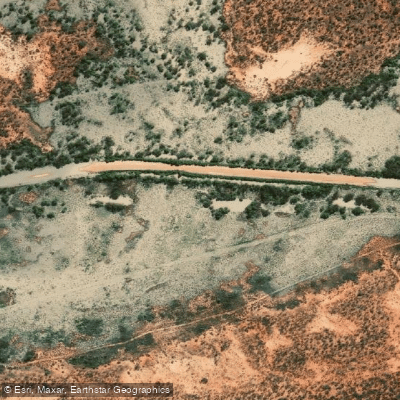
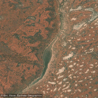
Water and weather conditions (10 day forecast)
See the best times to paddle Currawinya National Park and check the forecast before you go.
No forecast data available.
Paddle smarter with real-time insights
Whether you're en route and conditions shift or you're looking for the best spot based on current flows, we enable you to make informed decisions on the fly.







Paddling near Currawinya National Park
Loading...
Gateway towns
Where to base yourself for paddling in Currawinya National Park.
- CunnamullaQueensland
The closest town to the park, serving as the main base with fuel, supplies, and accommodation before the long drive in.
- EuloQueensland
Small stop on the way to the park offering fuel and basic supplies, with direct road access into Currawinya from its western edge.
- HungerfordQueensland
Border town at the southern entrance to the park, accessible via the Dog Fence from New South Wales.
- ThargomindahQueensland
Northwestern approach town with road access into the park via the Dowling Track to the south-east.
Explore Currawinya National Park
Top paddling waters
Popular Cities
Loading popular cities...

Smarter Paddling Starts in the App.
Paddleways gives you everything you need to plan smarter, paddle better, and own every trip from first launch to takeout.