Paroo River
Paroo River
- Boat Ramps
- 0
- Access Points
- 0
- Campsites
- 6
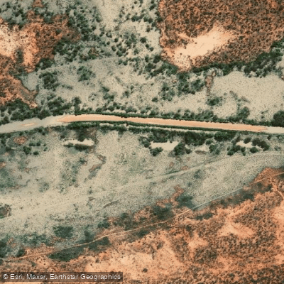
The Paroo River stretches from the Warrego Range west of Charleville in Queensland, flowing south across sparsely populated semi-arid plains before ending on the floodplains south of Wanaaring in far north-west New South Wales. It holds the distinction of being the last free-flowing, unregulated river in the Murray-Darling Basin — a rare characteristic in a heavily managed river system — and is considered one of the last free-flowing desert rivers in the world.
Paddling on the Paroo is entirely dependent on rainfall events in its northern catchment, as the river flows intermittently. When heavy rains do arrive, the river fills and creates extensive temporary wetlands, but this may only occur every six or seven years in a significant way. Paddlers must plan around these unpredictable flow periods, as the river can be dry or too shallow to navigate for extended stretches of time. This makes advance trip planning challenging and requires close monitoring of upstream rainfall conditions.
When water is present, the paddling environment is defined by the surrounding arid and semi-arid landscape, with overflow lakes, tree-lined creeks and waterholes, lignum and canegrass swamps, and artesian mound springs. The Paroo River Wetlands are a Ramsar-listed site of international importance, and the area supports 55 or more waterbird species, with surveys recording as many as 60,000 birds at Peery Lake during flood events. The artesian mound springs at Peery Lake represent the largest active complex in New South Wales and one of the rarest landforms in Australia.
Within Paroo-Darling National Park, kayaking and canoeing are explicitly supported activities. The Coach and Horses campground in the Wilga section of the park provides an overnight base, and paddling around Peery Lake is a noted activity within the park. The area is remote, and visitor facilities are described as low-impact, with some sections having restricted access. The Paroo-Darling Visitor Centre at White Cliffs is a recommended stop before entering the park for maps and information.
The region holds deep cultural significance for the Budjiti, Baakandji, Ngiyeempaa, and Paakantyi peoples, with the river described as the "lifeblood of the people." Numerous Aboriginal cultural sites, including ground stone artefacts, stone tools, and stone arrangements, are present throughout the catchment. Paddlers should be aware of this cultural context when visiting.
Water access, boat ramps & amenities
Learn how to get on Paroo River. Uncover great paddling access points, boat ramps, and all the facilities you need for an unforgettable day on the water. Some locations shown may border or include private property. Always check property boundaries and applicable regulations before visiting. PaddleWays's Public & Private Land layer can help you plan your access with confidence.
Paddle smarter with real-time insights
Whether you're en route and conditions shift or you're looking for the best spot based on current flows, we enable you to make informed decisions on the fly.







Queensland licenses and regulations

Find Places to Paddle

Over 400,000 Places to Paddle
Every user gets free access to launch points, boat ramps, and public property parcels.


Water and weather conditions (10 day forecast)
See the best times to paddle Paroo River and check the forecast before you go.
Paroo River At Willara Crossing
All Flow Stations
Paddling near Paroo River
Macquarie River
Bogan River
Cudgegong River
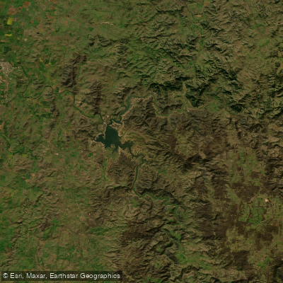
Lake Burrendong
Deep Creek
Branch Creek
Scrubby Creek
Boundary Creek
Crooked Creek
Stony Creek
Explore Queensland waters
Top paddling waters
No waters available right now.
Popular Cities
Loading popular cities...
Explore near Paroo River
Access points
Nearby waters
More in Queensland

Smarter Paddling Starts in the App.
Paddleways gives you everything you need to plan smarter, paddle better, and own every trip from first launch to takeout.