Paddling in Drysdale River National Park
- National Park
- Lakes
- 0
- Rivers
- 13
- Access
- 0
- Boat Ramps
- 0
- Shops
- 0
Drysdale River National Park sits in the remote northwest corner of the Kimberley, Western Australia — a vast, largely unvisited wilderness with no public roads, no airstrips, and no infrastructure of any kind inside its boundaries.
The water here is serious and the logistics are serious to match. The Drysdale River is the park's defining waterway, a river that moves through sandy beds, narrow channels, deep pools, and — in the right season — rapids and high waterfalls.
Solea Falls and Morgan Falls are among the major drops within the park. The Drysdale runs class 1 to class 2. 5 for much of its navigable length, with pools linking the rapids and stretches of paperback forest lining the banks.
Some sections require portaging around harder drops. Pack rafts are the craft of choice for the river — the approach involves a charter flight to Drysdale Station, then a downstream run covering roughly 20 kilometres a day over multiple weeks.
The upper sections of the river feel open and relatively gentle; the country around Solea Falls is more rugged, with significant rock art sites in the surrounding landscape.
The 1985 first descent of the Drysdale was made by kayak, and the river has seen very little traffic since. Access to the park requires a permit from the Parks and Wildlife Kununurra Office.
Every visitor must submit an application covering proposed dates, group size, access details, communications equipment, and a map. Permits are not issued between January and May.
Saltwater crocodiles are present throughout the waterways — not occasionally, but reliably — and Parks and Wildlife is direct about it: do not swim, canoe, or use small boats in any waterway if you are uncertain. That uncertainty should be your default.
The King George River and Berkeley River are also within or adjacent to the park's broader region, though the Drysdale is the river the park is named for and the one with documented paddling history. This is not a park you drop into on short notice.
The remoteness that makes it compelling is also what makes a mistake here consequential. Carry a PLB. File your permit. Know your river.
Top waters to paddle near Drysdale River National Park
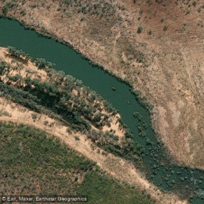
Drysdale River
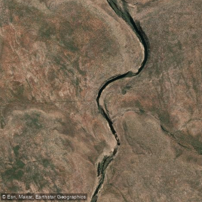
Berkeley River
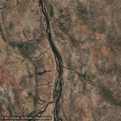
King George River
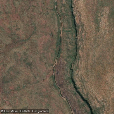
Carson River
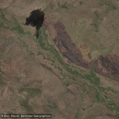
Crossland Creek
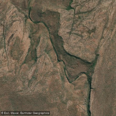
Palmoondoora Creek
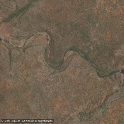
Johnson Creek
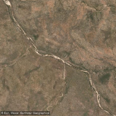
Banjo Creek
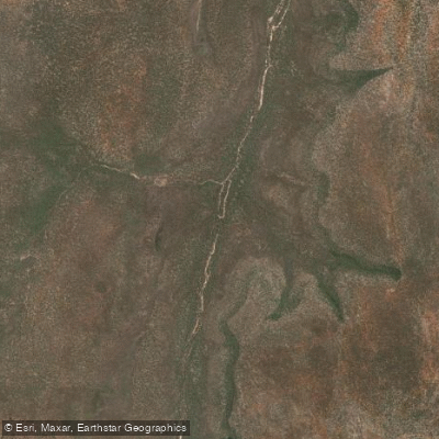
Dromaius Creek
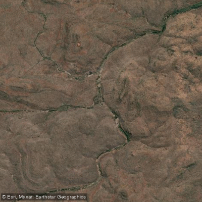
Laurie Creek
Water and weather conditions (10 day forecast)
See the best times to paddle Drysdale River National Park and check the forecast before you go.
No forecast data available.
Paddle smarter with real-time insights
Whether you're en route and conditions shift or you're looking for the best spot based on current flows, we enable you to make informed decisions on the fly.







Paddling near Drysdale River National Park
Loading...
Gateway towns
Where to base yourself for paddling in Drysdale River National Park.
- KununurraWA
Main base for the park; permits are issued here at the Parks and Wildlife office, and seaplane and scenic flight tours depart from here.
- WyndhamWA
Departure point for tour flights over the Drysdale River area for visitors approaching from the east Kimberley.
- BroomeWA
Western gateway offering scenic flight access over the park for visitors travelling the Kimberley coast route.
- KalumburuWA
Nearest community to the park; overland access via the Kalumburu Road track requires prior permission from the Kalumburu Aboriginal Corporation.
Explore Drysdale River National Park
Top paddling waters
Popular Cities
Loading popular cities...

Smarter Paddling Starts in the App.
Paddleways gives you everything you need to plan smarter, paddle better, and own every trip from first launch to takeout.