Berkeley River
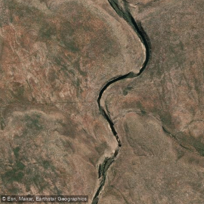
Berkeley River
- Boat Ramps
- 0
- Access Points
- 0
- Campsites
- 0
The Berkeley River is located in the Kimberley region of Western Australia, flowing approximately 135 kilometres to the Timor Sea via the Joseph Bonaparte Gulf near Reveley Island and Cape St Lambert. The river rises from the Tadrida Scarp and flows in a north-easterly direction through Drysdale River National Park and the Oombulgarri Indigenous Reserve. Its two tributaries are the De Lancourt River and Casuarina Creek. The river was named in 1911 by explorer Charles Price Conigrave after his brother Berkeley Fairfax Conigrave.
The area is extremely remote and not accessible by road. The most practical access for paddlers is by boat from Wyndham, the northernmost town in the Kimberley region, or via light aircraft from Kununurra or Darwin. One kayaker documented paddling to the river from Wyndham, departing Cambridge Gulf into the Timor Sea. The river mouth has a tidal rockbar where freshwater meets saltwater; beyond this point, upstream travel by small craft on foot or by dragging a kayak is required. Approximately ten kilometres upstream from the mouth lies Casuarina Creek and its falls, with massive vertical sandstone cliffs lining the river throughout. Camping options within the gorge are extremely limited due to steep cliffs and mangroves, with only very small ledges available above the high water mark.
Crocodiles are present throughout the river and should be considered a serious hazard. Paddlers have reported crocodiles mingling among the mangroves along the river banks. Tidal currents are a significant factor for planning upstream and downstream travel.
Access to the land adjoining the Berkeley River is subject to Aboriginal land permit requirements. The traditional owners are the Balanggarra community, who hold native title over the surrounding land. In recent years, land access permits have been denied by the Balanggarra community, meaning paddlers cannot go ashore without permission. Paddling on the water itself falls under a different jurisdiction, but prospective visitors should check current permit requirements with the Balanggarra community directly before planning a trip.
The river is characterised by towering red sandstone cliffs rising directly from the water, creating a gorge environment. Mangroves line sections of the lower river. The upper reaches near Casuarina Creek contain freshwater pools. Wildlife beyond crocodiles includes the broader remote Kimberley fauna typical of the region.
Water access, boat ramps & amenities
Learn how to get on Berkeley River. Uncover great paddling access points, boat ramps, and all the facilities you need for an unforgettable day on the water. Some locations shown may border or include private property. Always check property boundaries and applicable regulations before visiting. PaddleWays's Public & Private Land layer can help you plan your access with confidence.
Paddle smarter with real-time insights
Whether you're en route and conditions shift or you're looking for the best spot based on current flows, we enable you to make informed decisions on the fly.







Western Australia licenses and regulations

Find Places to Paddle

Over 400,000 Places to Paddle
Every user gets free access to launch points, boat ramps, and public property parcels.


Water and weather conditions (10 day forecast)
See the best times to paddle Berkeley River and check the forecast before you go.
No forecast data available.
Paddling near Berkeley River
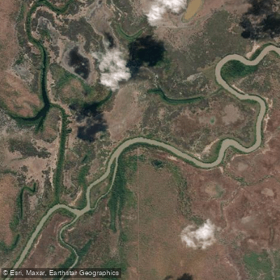
Adelaide River
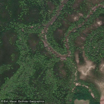
Ludmilla Creek
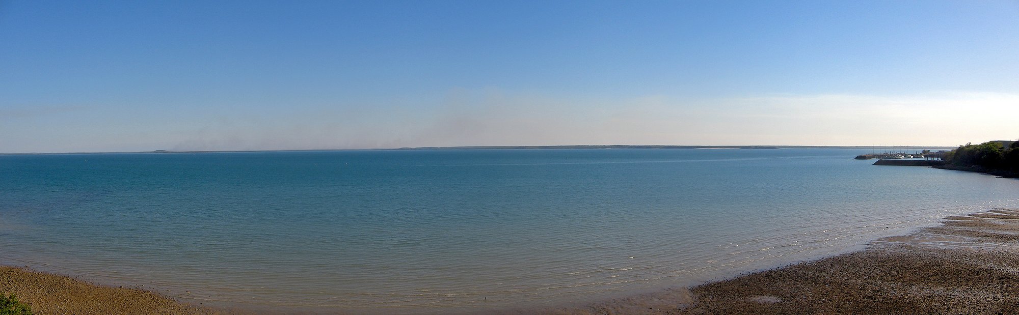
Darwin Harbour
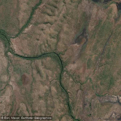
Finnis River
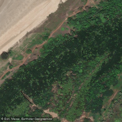
Sandy Creek
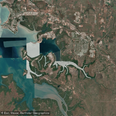
East Arm
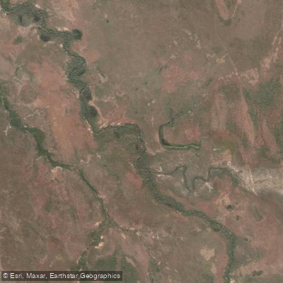
Margaret River
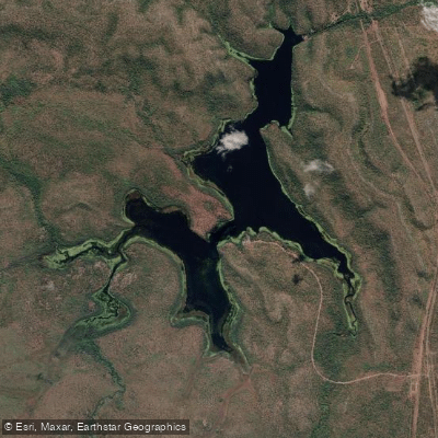
Manton Dam
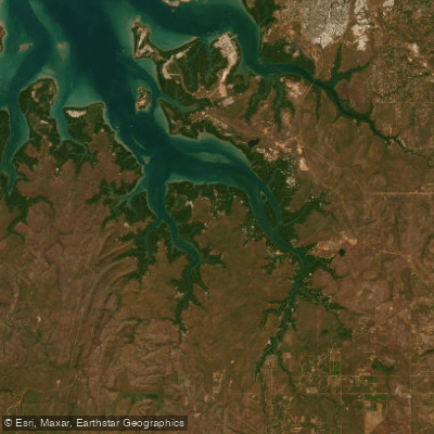
Middle Arm
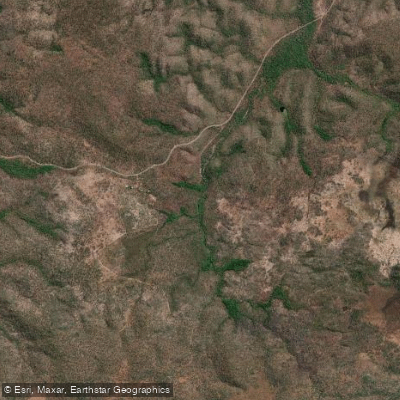
Walker Creek
Explore Western Australia waters
Top paddling waters
No waters available right now.
Popular Cities
Loading popular cities...
Explore near Berkeley River
Nearby waters
More in Western Australia

Smarter Paddling Starts in the App.
Paddleways gives you everything you need to plan smarter, paddle better, and own every trip from first launch to takeout.