Paddling in Gheebulum Kunungai (Moreton Island) National Park
- National Park
- Lakes
- 1
- Rivers
- 4
- Access
- 0
- Boat Ramps
- 0
- Shops
- 0
Mulgumpin (Moreton Island) sits in Moreton Bay, about 40 kilometres northeast of Brisbane, and nearly the entire island — 98% of it — falls within Gheebulum Kunungai National Park.
The paddling here is coastal and flatwater: open bay crossings, sheltered beach launches, and the island's freshwater lagoons and creeks. There are no rivers in the whitewater sense.
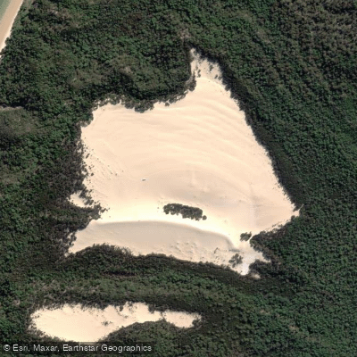
What draws paddlers is the combination of calm inshore water, sand-island geography, and the relative wildness of a place that is genuinely hard to reach without a ferry or barge. Blue Lagoon is the clearest focal point for on-island paddling.
This freshwater lagoon sits amid coastal heathland and is explicitly suited to kayaking and paddleboarding — calm, clear, and swimmable. Getting there requires either a walk or a 4WD track, so paddlers typically carry or cart a small craft.
The lagoon rewards the effort: the water is clean and the setting is unlike anything on the mainland side of the bay.
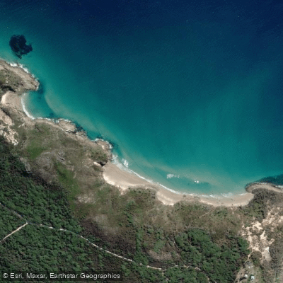
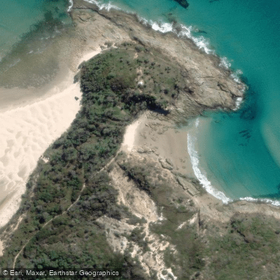
Beyond Blue Lagoon, the island's beaches — both the western bay-facing shore and the exposed eastern ocean beach — provide launch points for sea kayaking in Moreton Bay itself.
The western side is more sheltered; the eastern beaches face the open Pacific and demand appropriate conditions and experience.
Because the park covers nearly all of Mulgumpin, paddlers are operating inside protected land and water for most of their time on the island.
Camping is permitted in designated sites and beach zones, and permits are required — check with Queensland Parks and Wildlife Service (QPWS) for current requirements before you go.
Access to the island itself comes via the Tangalooma passenger ferry from Pinkenba or a vehicle barge from the Port of Brisbane; there are no road connections to the mainland.
Humpback whales move through the surrounding bay waters between May and November, and turtles and dolphins are present in the bay year-round.
On the water, that's not background noise — it's the reason to pay attention to where you're paddling and how close you get.
Top waters to paddle near Gheebulum Kunungai Moreton Island National Park

Water and weather conditions (10 day forecast)
See the best times to paddle Gheebulum Kunungai (Moreton Island) National Park and check the forecast before you go.
No forecast data available.
Paddle smarter with real-time insights
Whether you're en route and conditions shift or you're looking for the best spot based on current flows, we enable you to make informed decisions on the fly.







Paddling near Gheebulum Kunungai (Moreton Island) National Park
Loading...
Gateway towns
Where to base yourself for paddling in Gheebulum Kunungai (Moreton Island) National Park.
- BrisbaneQLD
Main departure point for ferries and vehicle barges to the island, with all outfitters, gear and permits available.
- TangaloomaQLD
The island's primary resort settlement sits within the park and serves as the main hub for accommodation, tours and snorkelling.
- BulwerQLD
One of three small townships on the island, used as a base by campers and 4WD visitors exploring the northern end.
- KooringalQLD
Southern township on the island providing a base for visitors arriving by vehicle barge from the Port of Brisbane.
Explore Gheebulum Kunungai (Moreton Island) National Park
Top paddling waters
Popular Cities
Loading popular cities...

Smarter Paddling Starts in the App.
Paddleways gives you everything you need to plan smarter, paddle better, and own every trip from first launch to takeout.