Moreton Bay
- Saltwater
- Estuary

Moreton Bay
- Saltwater
- Estuary
- Sq. miles
- 928
- Boat Ramps
- 47
- Access Points
- 39
- Campsites
- 20
Moreton Bay is a large, open coastal bay and marine park in Queensland, Australia, offering paddlers a mix of sheltered waters and exposed open-water crossings. The bay is bordered by the mainland and large sand islands like Moreton Island, creating a variety of environments from protected channels to areas with significant wind fetch. A key paddling event is the annual Moreton Bay Ocean Paddle, a 13km race starting from Tuckeroo Park Boat Ramp at Nudgee Beach on Kedron Brook. This course utilizes a 10km downwind section across the bay to Bells Beach Park at Clontarf, highlighting the area's susceptibility to south-easterly winds which can create wind chop. For recreational paddlers, specific access points include the Mungara Reserve Canoe Launch. A highly notable destination within the bay is the Tangalooma Wrecks off Moreton Island, a cluster of sunken ships that provide a unique paddling route and are known for marine life including dolphins. Access to guided tours and kayak hire for this area is typically restricted to authorized visitors of the Tangalooma Island Resort. Paddling across the open bay is not recommended without considerable experience due to the exposure to wind, waves, and likely boat traffic. The bay's conditions are considered relatively safe for skilled paddlers, but the open water requires appropriate craft stability, stamina, and safety gear including a high-visibility lifejacket, whistle, and a waterproofed mobile phone for emergencies.
Water access, boat ramps & amenities
Learn how to get on Moreton Bay. Uncover great paddling access points, boat ramps, and all the facilities you need for an unforgettable day on the water. Some locations shown may border or include private property. Always check property boundaries and applicable regulations before visiting. PaddleWays's Public & Private Land layer can help you plan your access with confidence.
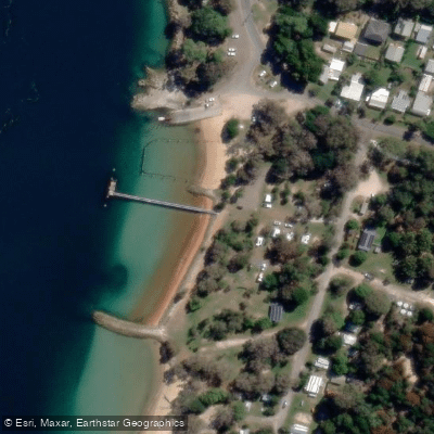
Amity Point, Claytons Road
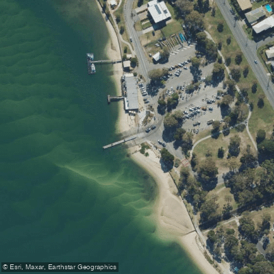
Bellara, Marine Parade
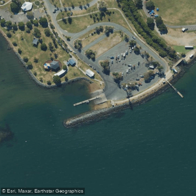
Clontarf, Pelican Park, Thomas Street
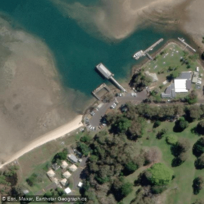
Dunwich, Yabby Street
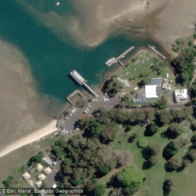
Dunwich, Yabby Street
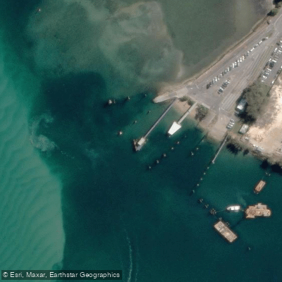
Harold Walker Jetty
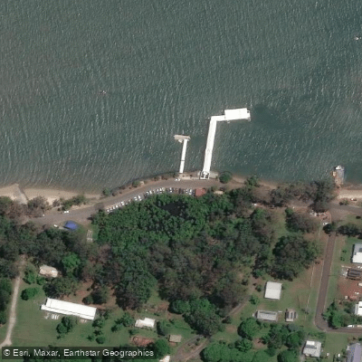
Karragarra Island, The Esplanade
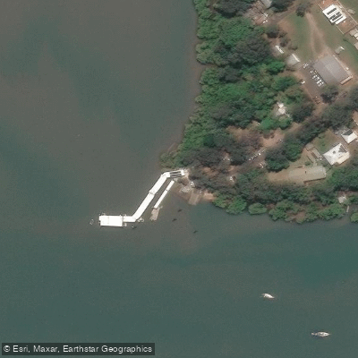
Lamb Island, Lucas Drive
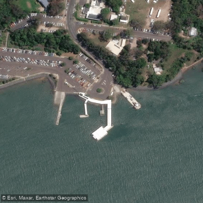
Macleay Island, Brighton Road
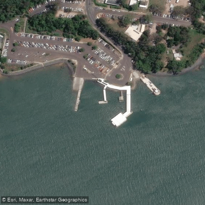
Macleay Island, Brighton Road
Paddle smarter with real-time insights
Whether you're en route and conditions shift or you're looking for the best spot based on current flows, we enable you to make informed decisions on the fly.







Queensland licenses and regulations

Find Places to Paddle

Over 400,000 Places to Paddle
Every user gets free access to launch points, boat ramps, and public property parcels.


Tides, wind & water conditions (10 day forecast)
On open water, wind and tide matter as much as the weather. See the best times to paddle Moreton Bay and check the marine forecast before you launch.
Loading tide predictions…
Paddling near Moreton Bay
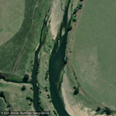
Brisbane River
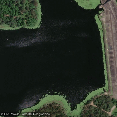
Enoggera Creek
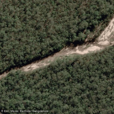
Oxley Creek
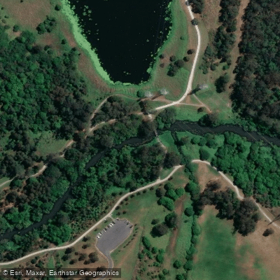
Bulimba Creek
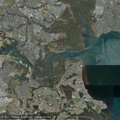
Pine River
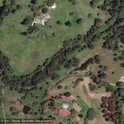
Moggill Creek
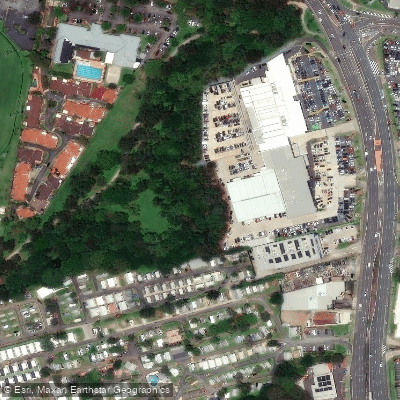
Cabbage Tree Creek
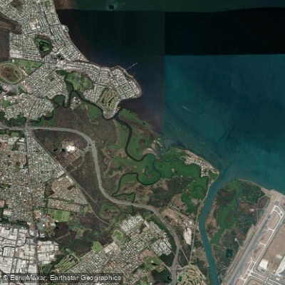
Nundah/Cabbage Tree Creek
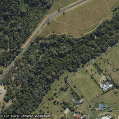
South Pine River
Explore Queensland waters
Top paddling waters
No waters available right now.
Popular Cities
Loading popular cities...
Explore near Moreton Bay
Access points
- Amity Point, Claytons Road
- Bald Hills, Barungwarra Reserve
- Bellara, Marine Parade (South)
- Boat Ramp
- Canoe Launch Site
- Cleveland, Emmet Street (Toondah Harbour)
- Cleveland, Shore Street
- Clontarf, Pelican Park, Thomas Street
- Dalpura Bay Half Tide Ramp
- Donnybrook Boat Ramp
- Donnybrook, Grant Lane
- Dunwich, Junner Street
- All 106 spots
Nearby waters
More in Queensland

Smarter Paddling Starts in the App.
Paddleways gives you everything you need to plan smarter, paddle better, and own every trip from first launch to takeout.