Paddling in Goulburn River National Park
- National Park
- Lakes
- 0
- Rivers
- 57
- Access
- 0
- Boat Ramps
- 0
- Shops
- 0
Goulburn River National Park sits in the upper Hunter region of New South Wales, protecting a sandstone gorge landscape where the Goulburn River cuts through forested ridges before opening into broader valley country.
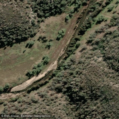
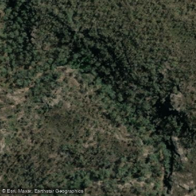
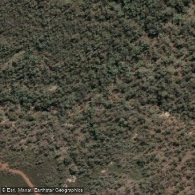
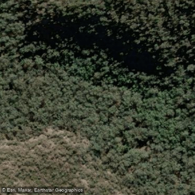
The park covers over 70,000 hectares, and the paddling here is shaped entirely by that terrain: a river moving through largely roadless bush, flanked by eucalypts and river oaks, with tributary creeks draining the surrounding slopes.
The Goulburn River is the anchor. It runs through the park as a relatively remote waterway, with camping available at spots like Big River campground and Spring Gully campground — both reachable by vehicle, which matters for multi-day trip logistics.
The river corridor supports swimming and fishing alongside paddling, and the riparian vegetation is dense enough that wildlife sightings on the water are common.
Kangaroos, wallabies, and a range of birds including glossy black cockatoos are regularly seen along the banks.
Tributary creeks — among them Meads Creek, Rocky Creek, Spring Creek, Summer Hill Creek, Bora Creek, and Scrubby Creek — drain into the Goulburn through the park.
Their significance for paddlers is mostly hydrological: they feed the main river and influence conditions after rain. Because this is a national park, the rules that apply here are park rules, not just state-level regulations.
Check with NSW National Parks and Wildlife Service before you go — particularly for overnight river trips, camping bookings, and any current alerts.
The park has a history of access restrictions during flood and inundation events, so conditions on the ground can change the plan quickly. The Goulburn in this stretch rewards paddlers who are comfortable being self-sufficient in remote bush.
There are no commercial services inside the park boundary. What you get instead is a sandstone gorge, a river largely to yourself, and the kind of quiet that only comes when the road ends well before the water does.
Top waters to paddle near Goulburn River National Park
Water and weather conditions (10 day forecast)
See the best times to paddle Goulburn River National Park and check the forecast before you go.
No forecast data available.
Paddle smarter with real-time insights
Whether you're en route and conditions shift or you're looking for the best spot based on current flows, we enable you to make informed decisions on the fly.







Paddling near Goulburn River National Park
Loading...
Gateway towns
Where to base yourself for paddling in Goulburn River National Park.
- MudgeeNew South Wales
The main regional base for the park, with accommodation, supplies, and road access via Wollar Road to the southern entry points.
- DenmanNew South Wales
Eastern gateway with lodging options and road access along the Goulburn River corridor toward the park's river entry points.
- MerriwaNew South Wales
Northern access point to the park via Ringwood Road, with basic services for visitors approaching from that direction.
- Sandy HollowNew South Wales
Small village on the route west from Denman toward the park, with a tourist park offering accommodation close to the eastern access roads.
Explore Goulburn River National Park
Top paddling waters
Popular Cities
Loading popular cities...

Smarter Paddling Starts in the App.
Paddleways gives you everything you need to plan smarter, paddle better, and own every trip from first launch to takeout.