Goulburn River
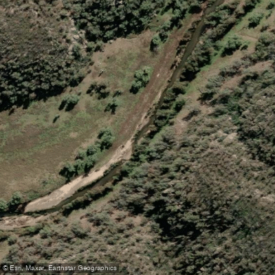
Goulburn River
- Boat Ramps
- 0
- Access Points
- 0
- Campsites
- 2
The Goulburn River offers a perennial paddling route through the Upper Hunter region of New South Wales, flowing as part of the Hunter River catchment. Within Goulburn River National Park, specific canoe and kayak locations are designated, and a boat ramp provides formal river access. The river's character is defined by its setting, with the national park map indicating campgrounds, fishing spots, and cave entrances along its course, suggesting a mix of forested banks and geological features. The overall experience is suited to self-guided exploration or guided tours, which are available along the river's length. For a defined route, the Wollondilly River paddle near the town of Goulburn presents a 2.9-mile out-and-back trail generally considered a moderately challenging paddle. When planning a trip, paddlers should consult the national park map for the precise locations of access points and facilities like campgrounds. The river is a noted fishing destination, so paddlers may share the water with anglers. As a perennial river, it provides year-round opportunities, though water levels and conditions will vary with seasonal rainfall. The surrounding national park and its features, including creeks and caves, contribute to a natural, recreational paddling environment focused on the Australian bush.
Water access, boat ramps & amenities
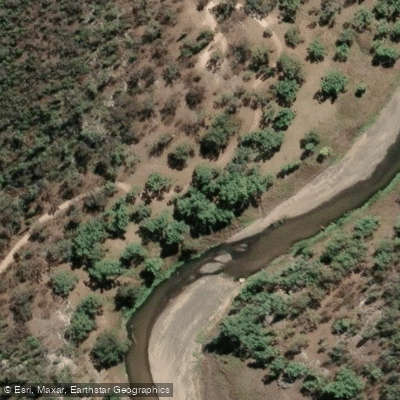
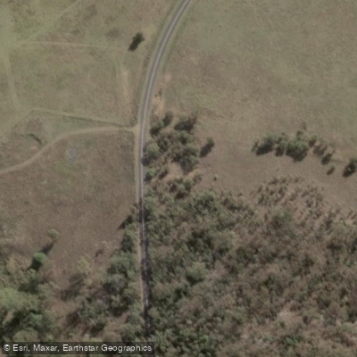
Learn how to get on Goulburn River. Uncover great paddling access points, boat ramps, and all the facilities you need for an unforgettable day on the water. Some locations shown may border or include private property. Always check property boundaries and applicable regulations before visiting. PaddleWays's Public & Private Land layer can help you plan your access with confidence.
Paddle smarter with real-time insights
Whether you're en route and conditions shift or you're looking for the best spot based on current flows, we enable you to make informed decisions on the fly.








Find Places to Paddle

Over 400,000 Places to Paddle
Every user gets free access to launch points, boat ramps, and public property parcels.


Water and weather conditions (10 day forecast)
See the best times to paddle Goulburn River and check the forecast before you go.
Goulburn River At Coggan
All Flow Stations
Paddling near Goulburn River
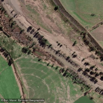
Hunter River
Paterson River
Port Stephens
Lake Macquarie
Stony Creek
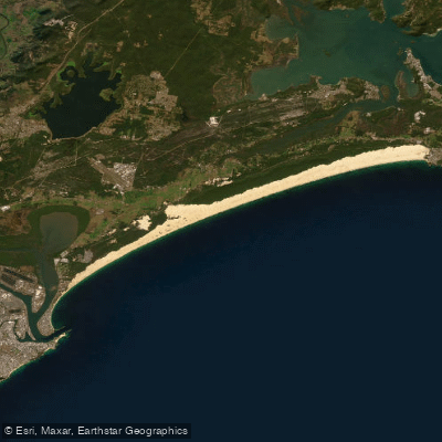
Stockton Beach
Dora Creek
Karuah River
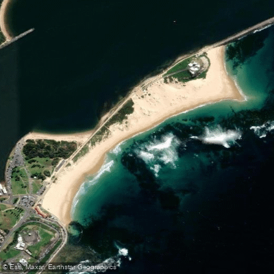
Nobbys Beach
Wyong River
Explore New South Wales waters
Top paddling waters
No waters available right now.
Popular Cities
Loading popular cities...
Explore near Goulburn River
Access points
Nearby waters
More in New South Wales

Smarter Paddling Starts in the App.
Paddleways gives you everything you need to plan smarter, paddle better, and own every trip from first launch to takeout.