Paddling in Gunbower National Park
- National Park
- Lakes
- 1
- Rivers
- 8
- Access
- 0
- Boat Ramps
- 0
- Shops
- 0
Gunbower National Park sits on Gunbower Island in northern Victoria, a large river island formed by the Murray River on one side and Gunbower Creek on the other.
The water here is flatwater — slow-moving channels, seasonal wetlands, and the broad Murray itself — and the paddling is about immersion in a floodplain ecosystem rather than any kind of technical challenge.
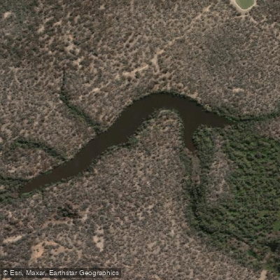
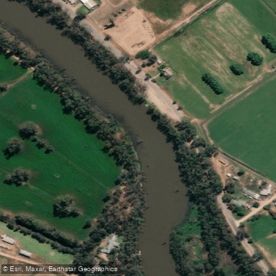
Gunbower Creek and the Murray River are the two waters that define the island and anchor any multi-day paddling through the park.
The Murray forms the island's northern boundary; basic bush camping is available alongside both the Murray and Gunbower Creek, making overnight river trips genuinely viable.
A fishing licence is required on the Murray River — check current requirements before you launch. The most developed paddling route in the area is the Gunbower Island Canoe Trail at Safes Lagoon, near Koondrook.
It runs approximately 5 km as a return trip and takes around two hours to complete.
The trail is considered suitable to paddle at any time of year, which matters in a region where seasonal flooding can dramatically change what's accessible elsewhere on the island.
This is quiet, close-reading water — the kind where you're watching the surface as much as the banks.
The broader Murray River Adventure Trail, a proposed network of canoe and kayak launches connecting Barmah National Park through to this reach, points toward how Parks Victoria is thinking about the corridor.
Launches and pedestrian links are part of that plan, though paddlers should check current infrastructure at the park before relying on specific put-ins. What changes inside the national park boundary is the expectation you bring to the water.
This is protected floodplain country, and the paddling reflects that — unhurried, low-impact, and worth treating that way.
Top waters to paddle near Gunbower National Park

Water and weather conditions (10 day forecast)
See the best times to paddle Gunbower National Park and check the forecast before you go.
No forecast data available.
Paddle smarter with real-time insights
Whether you're en route and conditions shift or you're looking for the best spot based on current flows, we enable you to make informed decisions on the fly.







Paddling near Gunbower National Park
Loading...
Gateway towns
Where to base yourself for paddling in Gunbower National Park.
- CohunaVictoria
Southern gateway to Gunbower National Park, with the Gateway to Gannawarra Visitor Centre serving as the start of the Gunbower Island Forest Drive.
- KoondrookVictoria
Northern access point to Gunbower Island, with boat ramp access and entry to the adjoining Gunbower State Forest.
- EchucaVictoria
Nearest regional hub with the broadest range of lodging, supplies, and services for visitors heading to the park along the Murray River.
Explore Gunbower National Park
Popular Cities
Loading popular cities...

Smarter Paddling Starts in the App.
Paddleways gives you everything you need to plan smarter, paddle better, and own every trip from first launch to takeout.