Gunbower Creek
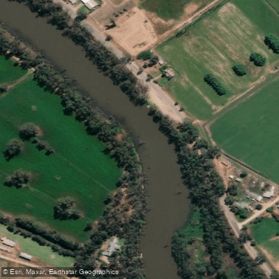
Gunbower Creek
- Boat Ramps
- 8
- Access Points
- 0
- Campsites
- 18
Gunbower Creek flows through the Gunbower State Forest and Gunbower National Park in northern Victoria, forming the boundary of Gunbower Island between Echuca-Moama and Barham. The creek winds through a Ramsar-listed wetland of international significance, passing through floodplain habitats that include river red gums, lagoons, and interconnected waterways. The landscape has been described as comparable to Kakadu in its ecological richness, and the area is notable for its diversity of birdlife, including white-faced herons, white-bellied sea eagles, whistling kites, spoonbills, pelicans, black swans, Eurasian coots, and purple swamphens.
The most established paddling route is the Gunbower Island Canoe Trail, a marked circuit of approximately 5 kilometres that passes through Safe's Lagoon. The trail is waymarked with yellow numbered buoys and takes around two hours at a relaxed pace. The primary launch point for this trail is the Canoe Site accessed via Koondrook Track off the Kerang-Koondrook Road, approximately 4.5 kilometres from Koondrook. An all-abilities canoe launcher was installed at this site in 2020. There are no toilet facilities at the launch point; the nearest are in Koondrook.
A second access point is located at Town Beach in Apex Park, Cohuna, which provides entry to the Cohuna Lagoon section of Gunbower Creek. This stretch is noted for its tree hollows and branches used by numerous bird species. Additional paddling areas within the broader Gunbower system include Reedy Lagoon, accessible via Plantation Road, and Yarran Creek, which connects the Murray River with Gunbower Creek and passes through wetlands including Green Swamp, Corduroy Swamp, and Little Reedy Lagoon. Spur Island can be accessed from Hipwell Road and offers faster-moving water during environmental water delivery events.
During large-scale environmental water deliveries, the forest can flood, creating rare opportunities to paddle through the red gum woodland itself. These events are infrequent and paddlers are advised to book with a local guide and carry a GPS to avoid becoming disoriented in the expanded waterway network. Life jackets are strongly recommended at all times. Paddlers should check current weather forecasts before entering the forest and ensure their skill level is appropriate for the conditions. The Paddle Smart Victoria website provides additional safety guidance relevant to this area.
Water access, boat ramps & amenities
Learn how to get on Gunbower Creek. Uncover great paddling access points, boat ramps, and all the facilities you need for an unforgettable day on the water. Some locations shown may border or include private property. Always check property boundaries and applicable regulations before visiting. PaddleWays's Public & Private Land layer can help you plan your access with confidence.
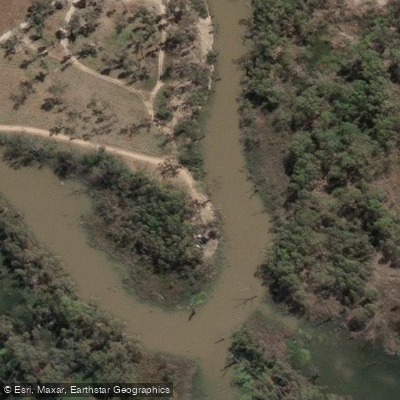
Canoe Ramp (Rollers)
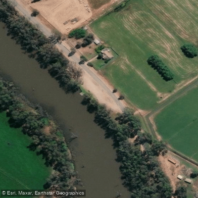
Gunbower Creek - Cohuna Island Rd Ramp 1
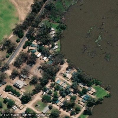
Gunbower Creek - Cohuna Island Rd Ramp 2
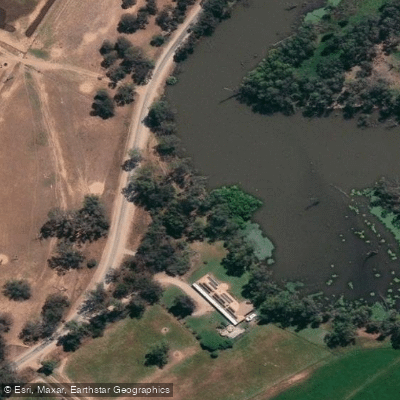
Gunbower Creek - Daltons Rd Ramp
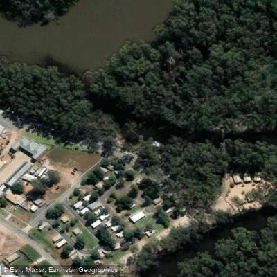
Gunbower Creek - Koondrook Ramp
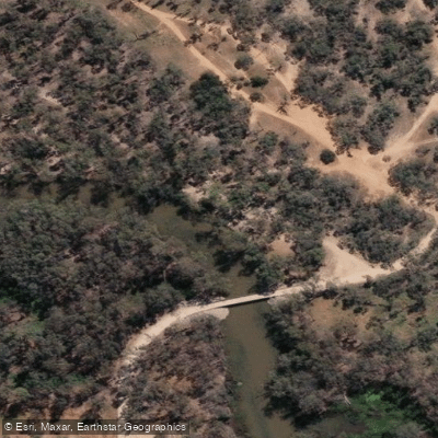
Gunbower Creek - Spences Bridge Rd Ramp
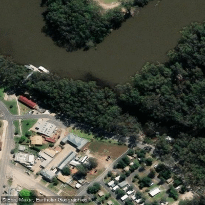
Koondrook
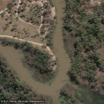
Koondrook All Abilities Canoe Trail & Kayak Launcher
Paddle smarter with real-time insights
Whether you're en route and conditions shift or you're looking for the best spot based on current flows, we enable you to make informed decisions on the fly.








Find Places to Paddle

Over 400,000 Places to Paddle
Every user gets free access to launch points, boat ramps, and public property parcels.


Water and weather conditions (10 day forecast)
See the best times to paddle Gunbower Creek and check the forecast before you go.
Gunbower Creek @ Koondrook
All Flow Stations
Paddling near Gunbower Creek

Campaspe River
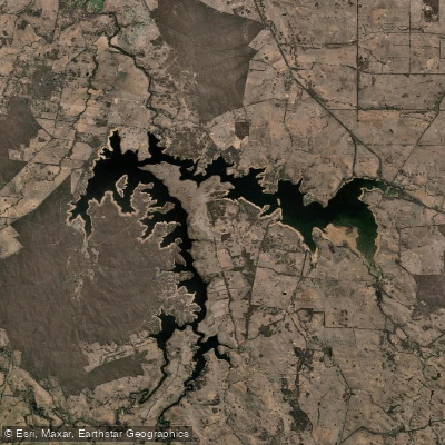
Lake Eppalock
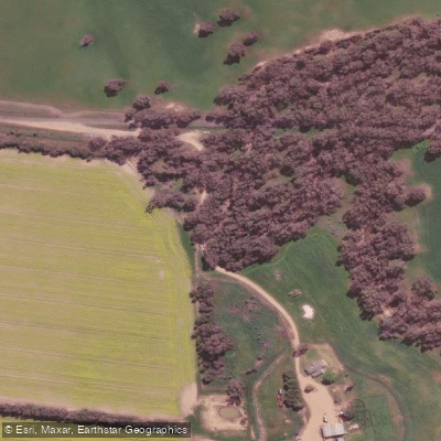
Loddon River
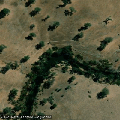
Coliban River
Spring Creek
Barkers Creek
Cairn Curran Reservoir
Goulburn River

Werribee River
Sandy Creek
Explore Victoria waters
Top paddling waters
No waters available right now.
Popular Cities
Loading popular cities...
Explore near Gunbower Creek
Access points
- Canoe Ramp (Rollers)
- Gunbower Creek - Cohuna Island Rd Ramp 1
- Gunbower Creek - Cohuna Island Rd Ramp 2
- Gunbower Creek - Daltons Rd Ramp
- Gunbower Creek - Koondrook Ramp
- Gunbower Creek - Spences Bridge Rd Ramp
- Koondrook
- Koondrook All Abilities Canoe Trail & Kayak Launcher
- Gunbower 1
- Gunbower 10
- Gunbower 11
- Gunbower 12
- All 26 spots
Nearby waters
More in Victoria

Smarter Paddling Starts in the App.
Paddleways gives you everything you need to plan smarter, paddle better, and own every trip from first launch to takeout.