Paddling in Lower Goulburn National Park
- National Park
- Lakes
- 1
- Rivers
- 3
- Access
- 0
- Boat Ramps
- 0
- Shops
- 0
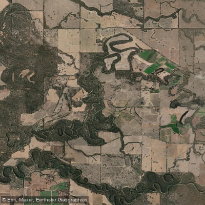
The lower Goulburn River is flatwater country — a slow, meandering river corridor through northern Victoria's river red gum forests, protected along most of its length between Shepparton and its junction with the Murray.
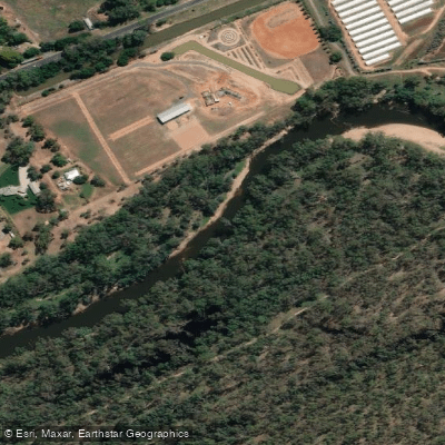
Lower Goulburn National Park, created in 2010 specifically to protect these red gum forests and riparian lands, wraps around the river for roughly 160 kilometres, making the Goulburn the defining water of the park and the reason most paddlers come here.
The river in this stretch is calm and well-suited to canoes and kayaks.
There are no significant rapids; the character is defined by the meander, the red gums leaning over the banks, and a sense of remove from the surrounding farmland that sets in quickly once you're on the water.
Platypus are present, and the birdlife — kingfishers, sea eagles, whistling kites — is a consistent part of the experience. This is multi-day paddling territory.
Common put-in and take-out points used by paddlers running the lower river include Wyuna, Yambuna Bridge, McCoys Bridge, Kanyapella, and the downstream run toward Echuca where the Goulburn meets the Murray.
Wyuna sits roughly 25 kilometres east of Echuca and is a practical starting point for several itineraries.
The Stage One Murray River Adventure Trail project, currently in development, proposes new canoe and kayak launches and improved facilities at key sites through the park — worth checking on before you plan access, as infrastructure may have changed.
Because this is a national park, the usual Victorian fishing licence applies, but check with Parks Victoria on any park-specific conditions before you go.
The park's set-aside determinations specify what activities are permitted and whether permits are required, so confirm current rules directly with Parks Victoria rather than assuming open access. The lower Goulburn rewards patience.
It's not a river that announces itself — it draws you in gradually, through the quiet of the red gum forest and the long, unhurried bends that have made this stretch a benchmark for river camping in Victoria.
Top waters to paddle near Lower Goulburn National Park

Water and weather conditions (10 day forecast)
See the best times to paddle Lower Goulburn National Park and check the forecast before you go.
No forecast data available.
Paddle smarter with real-time insights
Whether you're en route and conditions shift or you're looking for the best spot based on current flows, we enable you to make informed decisions on the fly.







Paddling near Lower Goulburn National Park
Loading...
Gateway towns
Where to base yourself for paddling in Lower Goulburn National Park.
- SheppartonVictoria
Nearest major town to the park, with hotels, supplies, and services for visitors heading to the river.
- EchucaVictoria
Northern gateway town on the Murray River, with access to the park's canoe and kayak launch points along the Goulburn.
Explore Lower Goulburn National Park
Top paddling waters
Popular Cities
Loading popular cities...

Smarter Paddling Starts in the App.
Paddleways gives you everything you need to plan smarter, paddle better, and own every trip from first launch to takeout.