Goulburn River
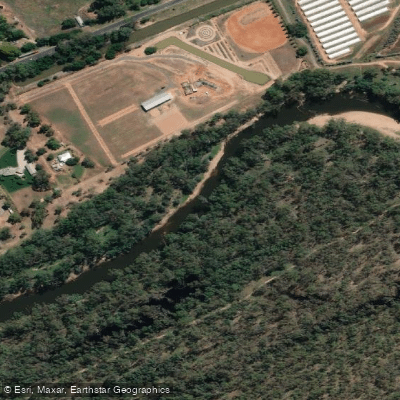
Goulburn River
- Boat Ramps
- 17
- Access Points
- 0
- Campsites
- 14
The Goulburn River in Victoria is one of the longest rivers in the state, stretching approximately 565 km from Woods Point to its confluence with the Murray River. Around 165 km of the river between the Lake Eildon Pondage and Hughes Creek (downstream from Seymour) is managed as a formal waterway under the Marine Act 1988, with the Goulburn Broken Catchment Management Authority serving as the appointed waterway manager for this stretch.
The river's character changes considerably along its length. Downstream of Lake Eildon, near Thornton, the water is very cold and crystal clear, released from depth at the dam approximately 8 km upstream. The river meanders across the floodplain, pressing occasionally against steep valley walls, with visibility easily exceeding a metre in the upper reaches. Further downstream near Seymour and beyond, the river deepens and motorised watercraft including wake boats and jet skis become more prevalent. In the lower reaches near Wyuna and the Lower Goulburn National Park, the river passes through pristine red gum forest and is largely shared only with canoes and local fishermen.
Summer is generally the best season for paddling, as water releases from Lake Eildon for irrigation purposes raise river levels significantly, with typical releases of around 8,000 ML per day and short-term environmental flows reaching up to 18,000 ML per day. These flow changes can be rapid and are good reason to avoid camping too close to the water's edge. River heights can change quickly, including in reaction to heavy rain above the dam.
Submerged logs and fallen trees are a consistent hazard throughout the river and require constant vigilance. The lower sections of the river in the national park also feature snags. Paddlers should wear a life jacket at all times and carry appropriate safety gear.
Access points are available at numerous locations. Near Thornton, Point Hill Streamside Reserve offers parking and a boat ramp. In Seymour, the Goulburn River Caravan Park has a public boat ramp, and Lions Park approximately 1 km downstream provides another option. Near Kialla, a launch point off Raftery Track provides easy two-wheel-drive access with free parking, campsites, picnic tables, and a boat ramp. The Mooroopna and Shepparton launch spots are approximately 5 km and 10 km downstream respectively from Kialla.
Wildlife in the lower reaches includes a wide variety of water and forest birds, and platypus sightings are possible. The Lower Goulburn National Park section is noted for its flora and fauna diversity.
Water access, boat ramps & amenities
Learn how to get on Goulburn River. Uncover great paddling access points, boat ramps, and all the facilities you need for an unforgettable day on the water. Some locations shown may border or include private property. Always check property boundaries and applicable regulations before visiting. PaddleWays's Public & Private Land layer can help you plan your access with confidence.
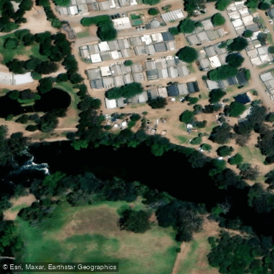
Blue Gum
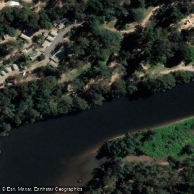
Boat Ramp
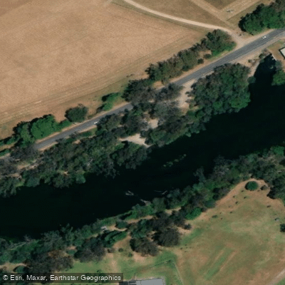
Eildon Pondage Wall A
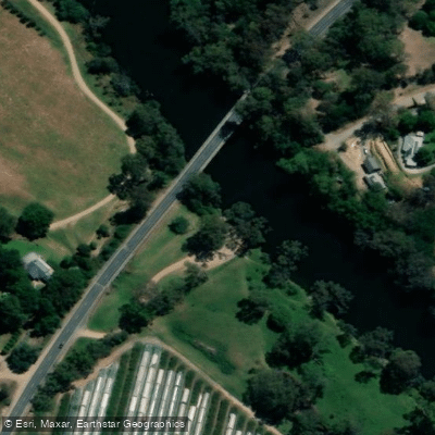
Goulburn River - Alexandra Maroonda Hwy Ramp
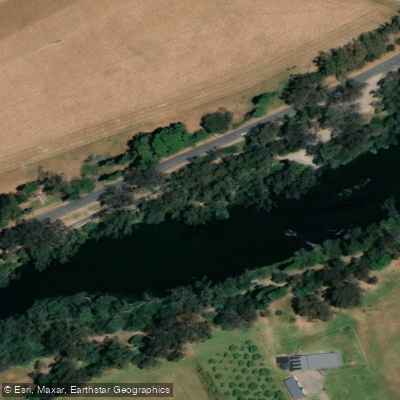
Goulburn River - Eildon Pondage Wall Ramp 1
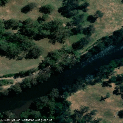
Goulburn River - Ghin Ghin Ramp
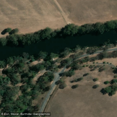
Goulburn River - Kilingsworth Ramp
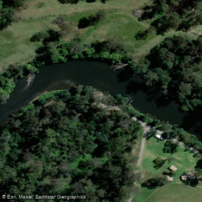
Goulburn River - Molesworth Ramp
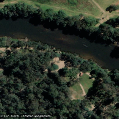
Goulburn River - Seymour Manners St Ramp
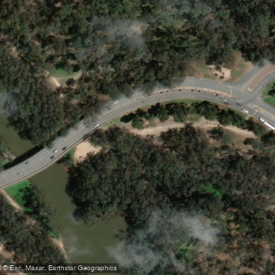
Goulburn River - Shepparton Daintons Bridge Ramp
Paddle smarter with real-time insights
Whether you're en route and conditions shift or you're looking for the best spot based on current flows, we enable you to make informed decisions on the fly.








Find Places to Paddle

Over 400,000 Places to Paddle
Every user gets free access to launch points, boat ramps, and public property parcels.


Water and weather conditions (10 day forecast)
See the best times to paddle Goulburn River and check the forecast before you go.
Goulburn River @ Murchison
All Flow Stations
Paddling near Goulburn River
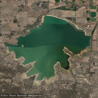
Waranga Basin

Murray River
Holland Creek

Campaspe River
Lake Mulwala
Edward River
Gulpa Creek
Hughes Creek
Ovens River
Explore Victoria waters
Top paddling waters
No waters available right now.
Popular Cities
Loading popular cities...
Explore near Goulburn River
Access points
- Blue Gum
- Boat Ramp
- Eildon Pondage Wall A
- Goulburn River - Alexandra Maroonda Hwy Ramp
- Goulburn River - Eildon Pondage Wall Ramp 1
- Goulburn River - Ghin Ghin Ramp
- Goulburn River - Kilingsworth Ramp
- Goulburn River - Molesworth Ramp
- Goulburn River - Seymour Manners St Ramp
- Goulburn River - Shepparton Daintons Bridge Ramp
- Goulburn River - Thornton Walnuts Reserve Ramp
- Goulburn River - Whiteheads Creek Ramp
- All 31 spots
Nearby waters
More in Victoria

Smarter Paddling Starts in the App.
Paddleways gives you everything you need to plan smarter, paddle better, and own every trip from first launch to takeout.