Paddling in Marramarra National Park
- National Park
- Lakes
- 0
- Rivers
- 10
- Access
- 0
- Boat Ramps
- 0
- Shops
- 0
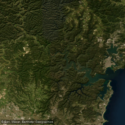
Marramarra National Park sits on the southern bank of the Hawkesbury River, roughly 50 kilometres north-west of Sydney's CBD.
The park is bounded by the Hawkesbury to the north and Berowra Creek to the east, and its paddling character is shaped entirely by that tidal, estuarine geography — calm, sheltered waterways cutting through sandstone ridges and mangrove-lined shores.
The two waters that anchor the paddling here are the Hawkesbury River itself and Marramarra Creek.
The Hawkesbury forms the park's northern boundary and is the main highway for anyone arriving by boat; it is wide, tidal, and exposed enough that wind and fetch matter.
Marramarra Creek runs south into the park from the Hawkesbury, narrowing as it goes and giving paddlers the kind of enclosed, canopy-close water that the river doesn't.
Both campgrounds — Gentlemans Halt and Marramarra Creek — sit on the Hawkesbury shore, making overnight paddles a practical option: launch, paddle the creek into the park's interior, and camp on the river's edge.
Because access to much of the park by land is limited — fire trails rather than road access to the water — arriving by kayak or canoe is often the most direct way in. That remoteness is real.
The park is close to Sydney, but the creek system in particular sees very little traffic. The water is tidal and flatwater throughout; there is nothing here that demands whitewater skills.
What it does ask for is awareness of tidal timing on the Hawkesbury, where wind against tide can build a short, steep chop quickly. Paddling the creek on a rising tide is easier work.
This is a national park managed by NSW National Parks and Wildlife Service, and the usual park conditions apply — check current alerts before you go, and contact the park directly for any permit or camping requirements.
The country you're paddling through is Darug land, and the waterways run past significant cultural sites. Move through it accordingly.
Top waters to paddle near Marramarra National Park
Water and weather conditions (10 day forecast)
See the best times to paddle Marramarra National Park and check the forecast before you go.
No forecast data available.
Paddle smarter with real-time insights
Whether you're en route and conditions shift or you're looking for the best spot based on current flows, we enable you to make informed decisions on the fly.







Paddling near Marramarra National Park
Loading...
Gateway towns
Where to base yourself for paddling in Marramarra National Park.
- HornsbyNSW
Closest suburb to the park's southern access roads, serving as the main jumping-off point for drives into the park via Galston Road.
- CanoelandsNSW
Small community at the northern end of the park, giving direct access to the Canoelands Ridge trails and the Hawkesbury River.
- BerowraNSW
Sits near the park's eastern boundary along Berowra Creek, used by paddlers and bushwalkers entering from that side.
Explore Marramarra National Park
Top paddling waters
Popular Cities
Loading popular cities...

Smarter Paddling Starts in the App.
Paddleways gives you everything you need to plan smarter, paddle better, and own every trip from first launch to takeout.