Hawkesbury River
- Saltwater
- Estuary
Hawkesbury River
- Saltwater
- Estuary
- Sq. miles
- 51
- Boat Ramps
- 7
- Access Points
- 5
- Campsites
- 4
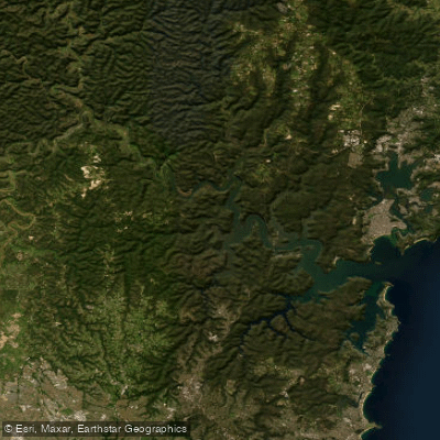
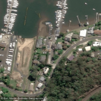
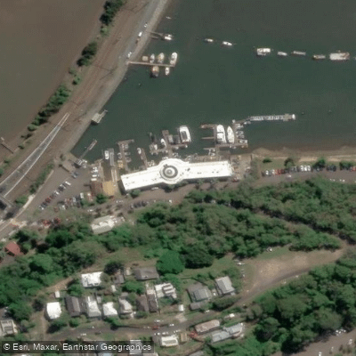
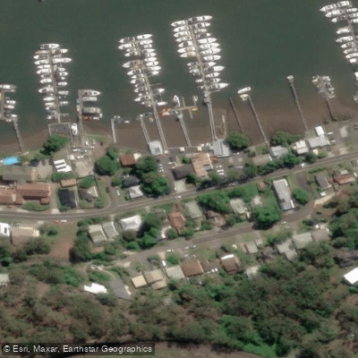
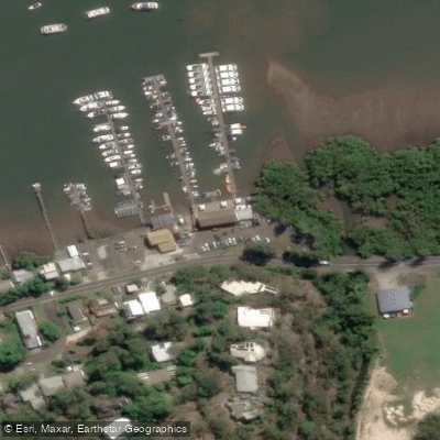
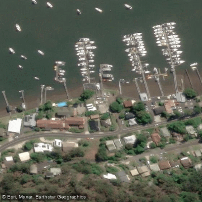
The Hawkesbury River, known locally as Deerubbin, is a significant coastal estuary forming the northern boundary of Hornsby Shire. It is a complex, winding saltwater system where freshwater from inland creeks mixes with the ocean, characterized by dynamic tidal flows and fluctuating salinity. The river offers a diverse paddling environment, linking inland landscapes with marine habitats. Key access points for paddlers include the village of Wisemans Ferry, which features a modern, three-lane public boat ramp with a pontoon, a large car park, and amenities. Brooklyn, another suburb on the southern bank, also provides convenient waterfront access near the Hawkesbury River railway station. The river is exposed to wind and open water conditions, particularly in its broader sections near Broken Bay, where paddlers can encounter challenging waves and headwinds. Significant boat traffic, including water skiing and houseboats, is noted, especially in summer around Wisemans Ferry. The area is a hub for recreational boating, so paddlers must remain vigilant. The scenery is dominated by sandstone cliffs and bushland, with the river flowing past holiday homes, marinas, and through national parks like Marramarra and Ku-ring-gai Chase. Wildlife is diverse, ranging from Wedge-tailed Eagles and White-bellied Sea Eagles to marine species like White's Seahorse. The overall vibe is a mix of active recreation and relaxed village atmosphere, with facilities like cafes, picnic areas, and playgrounds found at towns along the shore. Kayak and paddleboard rentals are available from operators in Brooklyn. Paddlers should be mindful that stormwater runoff from the catchment can impact water quality, and the estuary plays a crucial role in filtering pollutants. The river's geography includes numerous inlets and creeks, such as Berowra Creek and Mooney Mooney, offering sheltered exploration away from the main channel.
Water access, boat ramps & amenities
Learn how to get on Hawkesbury River. Uncover great paddling access points, boat ramps, and all the facilities you need for an unforgettable day on the water. Some locations shown may border or include private property. Always check property boundaries and applicable regulations before visiting. PaddleWays's Public & Private Land layer can help you plan your access with confidence.
Paddle smarter with real-time insights
Whether you're en route and conditions shift or you're looking for the best spot based on current flows, we enable you to make informed decisions on the fly.








Find Places to Paddle

Over 400,000 Places to Paddle
Every user gets free access to launch points, boat ramps, and public property parcels.


Tides, wind & water conditions (10 day forecast)
On open water, wind and tide matter as much as the weather. See the best times to paddle Hawkesbury River and check the marine forecast before you launch.
Loading tide predictions…
Paddling near Hawkesbury River
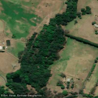
Wyong River
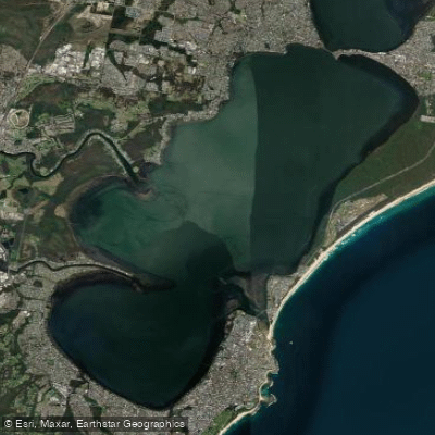
Tuggerah
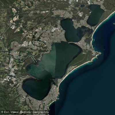
Tuggerah Lakes
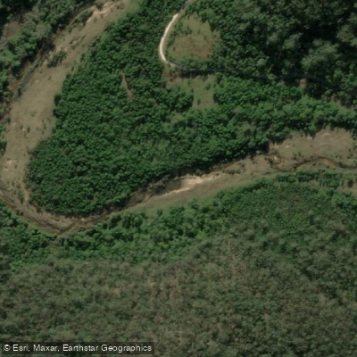
Mangrove Creek
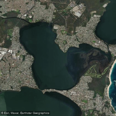
Budgewoi Lake
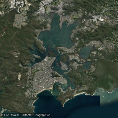
Brisbane Water
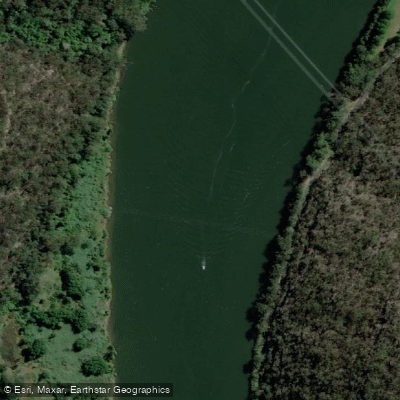
Hawkesbury River
Narara Creek
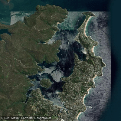
Pittwater
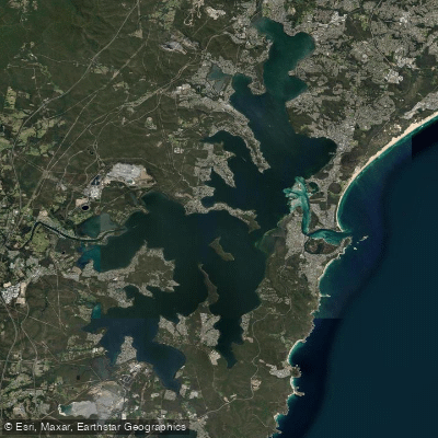
Lake Macquarie
Explore New South Wales waters
Top paddling waters
No waters available right now.
Popular Cities
Loading popular cities...
Explore near Hawkesbury River
Access points
Nearby waters
More in New South Wales

Smarter Paddling Starts in the App.
Paddleways gives you everything you need to plan smarter, paddle better, and own every trip from first launch to takeout.