Paddling in Murrumbidgee Valley National Park
- National Park
- Lakes
- 5
- Rivers
- 13
- Access
- 0
- Boat Ramps
- 0
- Shops
- 0
The Murrumbidgee River is the spine of this park — a long, slow-moving lowland river threading through the Riverina region of New South Wales, flanked by the largest continuous tract of river red gum forest in the world.
The park itself is not a single block but a series of narrow precincts strung across roughly 250 kilometres of river valley, mostly between Collingullie (about 30 kilometres west of Wagga Wagga) and Hay.
That shape — long and linear, hugging the water — means the paddling and the park are essentially the same thing. The Murrumbidgee here is flatwater.
Wide, sandy-banked, and unhurried, it moves westward through red gum corridors and past sandy beaches that double as campsites.
The current is gentle enough for canoes and kayaks at most levels, and the river's character rewards multi-day trips more than day paddles.
The stretch from Narrandera to Yanco Weir is a commonly cited reference point — a four-hour paddle that gives a feel for the river's pace and the forest closing in on both sides.
Access points are scattered across the park's precincts near Narrandera, Yanco, Leeton, Maude, Hay, and Balranald. Middle Beach, near Leeton, is a known put-in and swimming spot.
Graham's Grave beach, about 18 kilometres southeast of Yanco along the Irrigation Way, is reached by a short drive from the park entrance and sits at the river's edge.
Facilities throughout are minimal by design — this is bush camping country, with few fixed amenities.
The park is governed by NSW National Parks and Wildlife Service, and the usual considerations of a protected area apply: no facilities means self-sufficiency matters, and the red gum forests and wetlands here are among the most ecologically significant — and threatened — in Australia.
Paddling through them carries that weight. Check with NSW National Parks for current access and any conditions before launching. The Murrumbidgee in this stretch won't test your brace or your roll.
What it asks instead is patience — the willingness to read a slow river, camp on a sandbar under river red gums, and move at the pace the country sets.
Top waters to paddle near Murrumbidgee Valley National Park

Murrumbidgee River
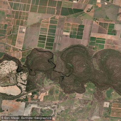
Coononcoocabil Lagoon
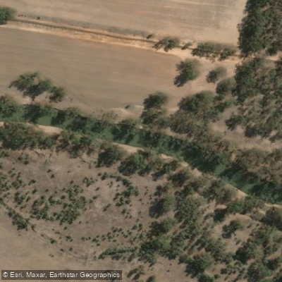
Old Man Creek
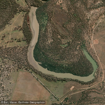
Yarradda Lagoon
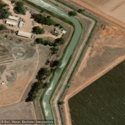
Sturt Canal
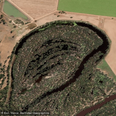
Yarramungueer Lagoon
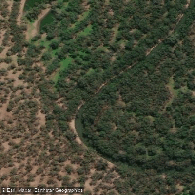
Uri Creek
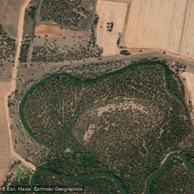
Dunnoon Lagoon
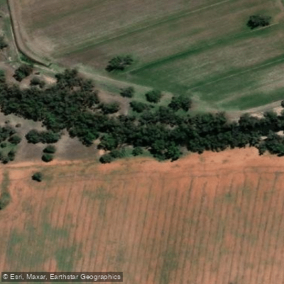
Cudgel Creek
Euroley Creek
Water and weather conditions (10 day forecast)
See the best times to paddle Murrumbidgee Valley National Park and check the forecast before you go.
No forecast data available.
Paddle smarter with real-time insights
Whether you're en route and conditions shift or you're looking for the best spot based on current flows, we enable you to make informed decisions on the fly.







Paddling near Murrumbidgee Valley National Park
Loading...
Gateway towns
Where to base yourself for paddling in Murrumbidgee Valley National Park.
- NarranderaNSW
Closest town to the park's eastern precincts, with shops, accommodation, and the starting point for the Narrandera to Yanco weir canoe route.
- HayNSW
Nearest town to the park's western precincts, serving as the main base for visitors exploring the Hay and Maude sections of the river.
- LeetonNSW
Gateway to the Turkey Flat picnic area, bird hide, and Middle Beach swimming and paddling spots within the park.
- BalranaldNSW
Base for the park's southern mallee-edge precincts along the Murrumbidgee River near the Victorian border.
Explore Murrumbidgee Valley National Park
Top paddling waters
Popular Cities
Loading popular cities...

Smarter Paddling Starts in the App.
Paddleways gives you everything you need to plan smarter, paddle better, and own every trip from first launch to takeout.